
Cedar Rock State Park
Cedar Rock State Park is a 426-acre (172 ha) state park in Buchanan County near Quasqueton, Iowa, United States. Its origins go back to 1981. Highs of 71–83°F make May to September the mildest time to go.

A museum, 1 mi northwest of Quasqueton
Plan where you’ll sleep
The nearest town with many places to stay is Manchester, 17 miles east. Where to stay ↓
Winters are cold
January nights drop to 9°, with about 34" of snow a year. When to go ↓
Best months: May, Jun, Jul, Aug and Sep
May, June, July, August and September are the mild months, with highs of 71–83°. When to go ↓
Established in 1981
Cedar Rock State Park dates from 1981. About ↓
Written from NOAA 1991–2020 normals, Overture places to stay, Census town figures, Wikidata and Wikipedia.
Weather through the year
Plan a visit to Cedar Rock around the weather below.
Cedar Rock State Park
Cedar Rock State Park is a 426-acre (172 ha) state park in Buchanan County near Quasqueton, Iowa, United States. The park's primary structure is the Lowell Walter House, also known as Cedar Rock, designed by Frank Lloyd Wright in the Usonian style for the local businessman Lowell E. Walter and his wife Agnes. The Walter House, a one-story residence, is constructed on a bluff above a bend of the Wapsipinicon River. The park also includes a gate, fireplace, and boathouse designed by Wright, as well as other visitor amenities such as a visitor center. The house is on the National Register of Historic Places.
- Type
- Museum
- Established
- 1981
- Area
- 320 acres
- Elevation
- 906 ft
- Listed
- National Register of Historic Places (1983)
- Wikipedia readers
- 2.6K a year
Where to base yourself for Cedar Rock State Park
The nearest towns with places to stay are Independence (4) and Manchester (5), and Cedar Rapids has the most rooms in the area (46).
Independence
The closest town with somewhere to stay.
6,312 people
8 mi northwest of Cedar Rock
Cedar Rapids
The most places to stay in the area, and a base for a longer trip.
137,935 people
31 mi south of Cedar Rock
Compare 9 towns
| Town | From Cedar Rock | Drive | Places to stay | People | Typical home | Safety |
|---|---|---|---|---|---|---|
| Independence | 8 mi northwest | 10 min | 4 1 hotel · 2 motels · 1 RV park | 6,312 | $165K | B |
| Quasqueton | 1 mi southeast | — | 1 1 campground | 593 | $146K | — |
| Manchester | 17 mi east | 25 min | 5 3 hotels · 1 inn or B&B · 1 campground | 5,357 | $139K | C+ |
| Urbana | 14 mi southwest | 20 min | 3 1 hotel · 1 campground · 1 RV park | 1,671 | $229K | — |
| Oelwein | 20 mi north | 30 min | 6 4 hotels · 2 campgrounds | 5,757 | $96K | B− |
| Strawberry Point | 22 mi northeast | 35 min | 5 1 hotel · 2 lodges & cabins · 1 campground · 1 RV park | 1,126 | $115K | — |
| Vinton | 21 mi southwest | 30 min | 4 2 hotels · 2 campgrounds | 5,004 | $152K | B+ |
| Marion | 27 mi south | 40 min | 6 4 hotels · 1 motel · 1 lodge or cabins | 42,732 | $242K | B+ |
| Cedar Rapids | 31 mi south | 45 min | 46 38 hotels · 4 motels · 2 inns & B&Bs · 2 lodges & cabins | 137,935 | $187K | C− |
Getting there
Nearest airports with airline service
Make a day of it near Cedar Rock
You can reach each of these within 56 miles.
 53 mi Stadium & arenaKinnick Stadium
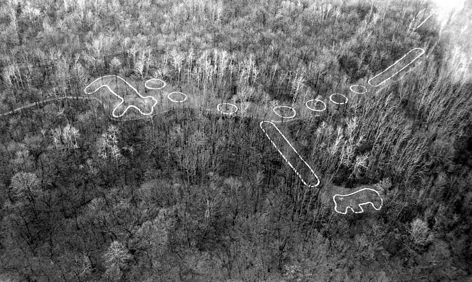 56 mi National MonumentEffigy Mounds National Monument57K visitors a year128 mi Theme parkLost Island Theme Park
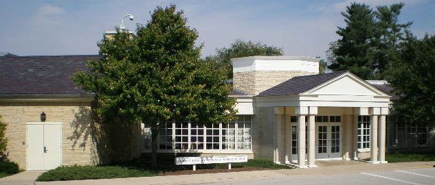 55 mi MuseumHerbert Hoover Presidential Library and Museum
 52 mi Stadium & arenaCarver–Hawkeye Arena
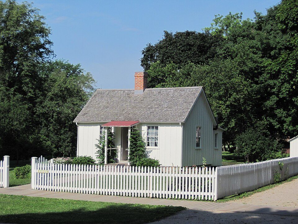 55 mi National Historic SiteHerbert Hoover National Historic Site107K visitors a year
 31 mi MuseumNational Czech & Slovak Museum & Library
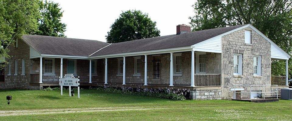 54 mi MuseumFort Crawford
Photo credits
Kinnick Stadium: Count_de_Des_Moines (talk) (Uploads), CC BY-SA 3.0 · Effigy Mounds National Monument: National Park Service, Public domain · Herbert Hoover Presidential Library and Museum: Shadow2700, Public domain · Carver–Hawkeye Arena: Asolsma1988, CC0 · Herbert Hoover National Historic Site: Billwhittaker, CC BY-SA 3.0 · National Czech & Slovak Museum & Library: ArtisticAbode, CC BY-SA 3.0 · Fort Crawford: Jonathunder, CC BY-SA 3.0


Asked about Cedar Rock
What town is Cedar Rock State Park near?
Quasqueton, IA, about 1 miles southeast.
When is the best time to visit Cedar Rock State Park?
May, June, July, August and September, with highs of 71–83°.
What is the closest airport to Cedar Rock State Park?
Waterloo Regional (ALO), about 34 miles away. The nearest big hub is Des Moines (DSM), about 114 miles.
Where should I stay near Cedar Rock State Park?
Independence (8 mi, 4 places to stay), Cedar Rapids (31 mi, 46 places to stay) and Manchester (17 mi, 5 places to stay).
Word from Quasqueton
There are no tips yet, so start one in Quasqueton’s Town Square.
Sources: National Park Service · ski areas © OpenSkiMap / OpenStreetMap contributors · Wikidata · Wikipedia readership · NOAA climate normals · U.S. Census.