
Carondelet Park
Carondelet Park, established in 1875, is the third largest park in the city of St. Louis, Missouri. Its history begins in 1875. Around it, Cahokia (13 mi) comes first on our list.

A garden inside St. Louis
You can stay in St. Louis
Carondelet Park is inside St. Louis, which has 99 places to stay, so you won’t need a base farther out. Where to stay ↓
Established in 1875
Carondelet Park dates from 1875. About ↓
Best months: Apr, May, Sep and Oct
April, May, September and October are the mild months, with highs of 68–80°. When to go ↓
Written from NOAA 1991–2020 normals, Overture places to stay, Census town figures, Wikidata and Wikipedia.
The climate here
Every month near Carondelet Park is set out below.
Carondelet Park
Carondelet Park, established in 1875, is the third largest park in the city of St. Louis, Missouri. The park contains nearly 180 acres (0.73 km2) and is located in the southeastern portion of the city, just west of Interstate 55, and is accessible at the Loughborough Avenue exit. Loughborough Avenue is the park's southern boundary; its northern boundary is Holly Hills Boulevard. The park takes its name from Carondelet, St. Louis. The Carondelet, Holly Hills, Boulevard Heights, and Bevo Mill neighborhoods surround the park, and the park is a focal point for the community.
- Type
- Garden
- Established
- 1875
- Area
- 180 acres
- Wikipedia readers
- 1.5K a year
A base for Carondelet Park
Rooms are nearest in St. Louis (99) and Maryland Heights (34).
- 1Cahokia
- 2The Dome at America's Center
- 3Busch Stadium
- 4Gateway Arch
- 5Enterprise Center
- 6Monks Mound
- 7Energizer Park
- 8Mid America Adventure
Compare 8 towns
| Town | From Carondelet Park | Drive | Places to stay | People | Typical home | Safety |
|---|---|---|---|---|---|---|
| St. Louis | in town | — | 99 78 hotels · 5 motels · 12 inns & B&Bs · 3 lodges & cabins · 1 campground | 278,144 | $198K | D− |
| Maryland Heights | 16 mi northwest | 25 min | 34 30 hotels · 2 motels · 1 inn or B&B · 1 lodge or cabins | 27,559 | $227K | C+ |
| Canteen Township | 11 mi northeast | 15 min | 16 6 hotels · 8 motels · 1 lodge or cabins · 1 RV park | 7,714 | $74K | — |
| Caseyville Township | 16 mi east | 25 min | 30 28 hotels · 1 motel · 1 lodge or cabins | 34,825 | $204K | — |
| Cahokia Heights | 6 mi east | 10 min | 8 4 hotels · 3 motels · 1 RV park | 16,874 | $56K | — |
| Centreville Township | 6 mi east | 10 min | 8 4 hotels · 3 motels · 1 RV park | 19,067 | $59K | — |
| Fenton | 10 mi west | 15 min | 11 11 hotels | 4,060 | $375K | — |
| Richmond Heights | 6 mi northwest | 10 min | 6 6 hotels | 9,093 | $359K | D− |
Getting there
Nearest airports with airline service
What else is near Carondelet Park
Every place here is under 23 miles away.
 Big draw113 mi State parkCahokia
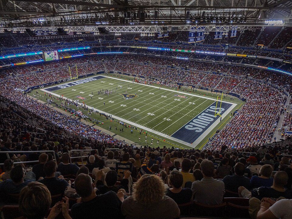 Big draw26 mi Stadium & arenaThe Dome at America's Center
 36 mi Stadium & arenaBusch Stadium
 46 mi National ParkGateway Arch National Park2.2M visitors a year
 56 mi Stadium & arenaEnterprise Center
 613 mi LandmarkMonks Mound
 76 mi Stadium & arenaEnergizer Park
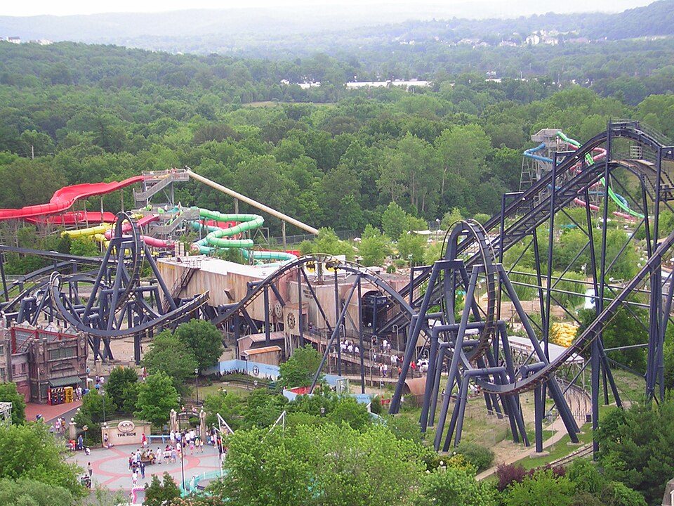 822 mi Theme parkMid America Adventure
Photo credits
Cahokia: Thank You (24 Millions ) views, CC BY 2.0 · The Dome at America's Center: Paul Sableman, CC BY 2.0 · Busch Stadium: Lee Ann Ratledge, CC BY 4.0 · Gateway Arch National Park: Daniel Schwen, CC BY-SA 4.0 · Enterprise Center: Haaron755, CC BY-SA 3.0 · Monks Mound: Skubasteve834, CC BY-SA 3.0 · Energizer Park: Cornfield948, CC BY-SA 3.0 · Mid America Adventure: Chris Hagerman from New Port Richey, FL, US, CC BY 2.0


Visiting Carondelet Park: the answers
Is Carondelet Park in St. Louis?
Yes. It’s inside St. Louis, MO.
When is the best time to visit Carondelet Park?
April, May, September and October, with highs of 68–80°.
What is the closest airport to Carondelet Park?
St. Louis Lambert (STL), about 14 miles away.
Where should I stay near Carondelet Park?
St. Louis (in town, 99 places to stay), Maryland Heights (16 mi, 34 places to stay) and Canteen Township (11 mi, 16 places to stay).
Advice from St. Louis
Tips will appear here once someone posts in St. Louis’s Town Square.
Sources: National Park Service · ski areas © OpenSkiMap / OpenStreetMap contributors · Wikidata · Wikipedia readership · NOAA climate normals · U.S. Census.