Buttermilk Creek Complex
The Buttermilk Creek complex is the remains of a Paleolithic settlement along the shores of Buttermilk Creek in present-day Salado, Texas. This one stands 8 mi northwest of Jarrell. Further out, Gault is 2.7 mi away.
An ancient site, 8 mi northwest of Jarrell
Summers are hot
July and August highs run 95–96°, and about 112 days a year reach 90°. When to go ↓
Salado is the nearest base
Salado is 11 miles east, with 15 places to stay. Hotels nearby ↓
Best months: Feb, Mar, Apr, Oct and Nov
February, March, April, October and November are the mild months, with highs of 65–81°. When to go ↓
Written from NOAA 1991–2020 normals, Overture places to stay, Census town figures, Wikidata and Wikipedia.
The year’s weather
Each month’s highs and lows around Buttermilk Creek Complex are below.
Buttermilk Creek Complex
The Buttermilk Creek complex is the remains of a Paleolithic settlement along the shores of Buttermilk Creek in present-day Salado, Texas. The assemblage dates to ~13.2 to 15.5 thousand years old. If confirmed, the site represents evidence of human settlement in the Americas that predates the Clovis culture.
- Type
- Ancient site
- Elevation
- 600 ft
- Wikipedia readers
- 8.8K a year
Overnight by Buttermilk Creek Complex
The nearest, Peaceable Kingdom, is 5.0 miles off.
Closest places to stay
- 1Peaceable Kingdomcampground · 5.0 mi northDirections
- 2Valley View RV ParkRV park · 7.6 mi southeastDirections
- 3Lakeside ParkRV park · 8.7 mi northeastDirections
- 4Country Oasis RV ParkRV park · 9.8 mi southwestDirections
- 5C5 Youth Foundationcampground · 10.0 mi northwestDirections
Compare 9 towns to stay in
| Town | From Buttermilk Creek Complex | Drive | Places to stay | People | Typical home | Safety |
|---|---|---|---|---|---|---|
| Killeen | 13 mi north | 20 min | 50 40 hotels · 9 motels · 1 RV park | 161,883 | $215K | C− |
| Salado | 11 mi east | 15 min | 15 7 hotels · 1 motel · 5 inns & B&Bs · 2 RV parks | 2,565 | $446K | — |
| Georgetown | 16 mi south | 25 min | 25 14 hotels · 3 motels · 1 inn or B&B · 6 campgrounds · 1 RV park | 106,907 | $429K | B− |
| Temple | 24 mi northeast | 35 min | 42 30 hotels · 6 motels · 1 inn or B&B · 1 lodge or cabins · 1 campground · 3 RV parks | 98,412 | $239K | — |
| Round Rock | 25 mi south | 40 min | 43 36 hotels · 1 motel · 2 inns & B&Bs · 1 lodge or cabins · 2 campgrounds · 1 RV park | 141,282 | $419K | C+ |
| Belton | 18 mi northeast | 25 min | 15 6 hotels · 1 motel · 2 inns & B&Bs · 1 lodge or cabins · 2 campgrounds · 3 RV parks | 25,964 | $259K | — |
| Harker Heights | 12 mi north | 20 min | 7 5 hotels · 1 campground · 1 RV park | 35,195 | $288K | B− |
| Liberty Hill | 20 mi southwest | 30 min | 8 1 hotel · 2 inns & B&Bs · 3 lodges & cabins · 2 RV parks | 13,317 | $403K | B+ |
| Austin | 41 mi south | 1 hr | 384 306 hotels · 26 motels · 16 inns & B&Bs · 12 lodges & cabins · 9 hostels · 10 campgrounds · 5 RV parks | 1,002,632 | $555K | D |
Getting there
Nearest airports with airline service
Also within reach
A wider trip can take in these, within 65 miles.
 Big draw42 mi Stadium & arenaDarrell K Royal–Texas Memorial Stadium
 64 mi CaveJacob's Well (Texas)3 mi Ancient siteGault
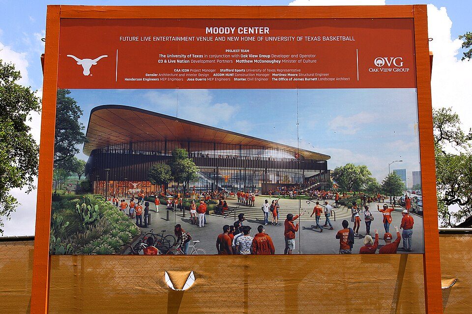 42 mi Stadium & arenaMoody Center
 25 mi Stadium & arenaCedar Park Center
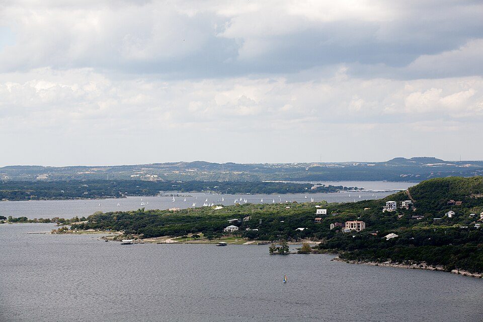 36 mi LakeLake Travis
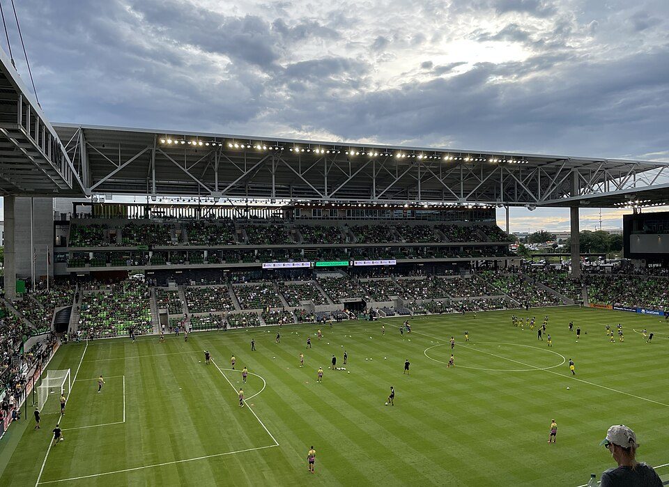 35 mi Stadium & arenaQ2 Stadium
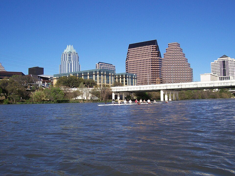 44 mi LakeLady Bird Lake
Photo credits
Darrell K Royal–Texas Memorial Stadium: Brint03, CC BY-SA 3.0 · Jacob's Well (Texas): Larry D. Moore, CC BY 4.0 · Moody Center: Larry D. Moore, CC BY 4.0 · Cedar Park Center: Larry D. Moore, CC BY 4.0 · Lake Travis: Trey Perry, CC BY 3.0 · Q2 Stadium: Daniel Ziegler, CC BY-SA 4.0 · Lady Bird Lake: Arvindn on en.wikipedia, CC BY-SA 3.0


Planning a visit to Buttermilk Creek Complex
What town is Buttermilk Creek Complex near?
Jarrell, TX, about 8 miles southeast.
When is the best time to visit Buttermilk Creek Complex?
February, March, April, October and November, with highs of 65–81°.
What is the closest airport to Buttermilk Creek Complex?
Killeen Regional Airport / Robert Gray Army Airfield (GRK), about 14 miles away. The nearest big hub is Austin Bergstrom (AUS), about 48 miles.
What hotels are near Buttermilk Creek Complex?
Peaceable Kingdom (5.0 mi), Valley View RV Park (7.6 mi) and Lakeside Park (8.7 mi).
Tips from Jarrell
Ask a question, or answer one, in Jarrell’s Town Square.
Sources: National Park Service · ski areas © OpenSkiMap / OpenStreetMap contributors · Wikidata · Wikipedia readership · NOAA climate normals · U.S. Census.