
Bridger–Teton National Forest
Bridger–Teton National Forest is located in western Wyoming, United States. Its location is 3 mi east of Rafter J Ranch. It goes back to 1973.

A national forest, 3 mi east of Rafter J Ranch
Winters are cold
January nights drop to 8°, with about 78" of snow a year. When to go ↓
Jackson is the nearest base
Jackson is 4 miles northwest, with 63 places to stay. Where to stay ↓
Best months: Jul and Aug
July and August are the mild months, with highs of 77–78°. When to go ↓
An airport 12 miles away
Jackson Hole (JAC) has airline service, about 12 miles from Bridger–Teton National Forest.
Established in 1973
Bridger–Teton National Forest dates from 1973. About ↓
Written from NOAA 1991–2020 normals, Overture places to stay, Census town figures, Wikidata and Wikipedia.
A month-by-month look
The months below show the weather around Bridger–Teton National Forest.
Bridger–Teton National Forest
Bridger–Teton National Forest is located in western Wyoming, United States. The forest consists of 3.4 million acres (14,000 square kilometers), making it the third largest National Forest outside Alaska. The forest stretches from Yellowstone National Park, along the eastern boundary of Grand Teton National Park and from there rides along the western slope of the Continental Divide to the southern end of the Wind River Range. The forest also extends southward encompassing the Salt River Range and Wyoming Range mountains near the Idaho border.
- Type
- National forest
- Established
- 1973
- Area
- 5,317 square miles
- Wikipedia readers
- 15K a year
Nights near Bridger–Teton National Forest
For a bed close by, look to Jackson (63) and Teton Village (23).
Jackson
The closest town with somewhere to stay.
10,720 people
4 mi northwest of Bridger–Teton National Forest
Teton Village
739 people · 33% vacation homes
13 mi northwest of Bridger–Teton National Forest
Moose Wilson Road
1,535 people · 38% vacation homes
9 mi northwest of Bridger–Teton National Forest
Compare 8 towns
| Town | From Bridger–Teton National Forest | Drive | Places to stay | People | Typical home | Safety |
|---|---|---|---|---|---|---|
| Jackson | 4 mi northwest | 5 min | 63 39 hotels · 4 motels · 7 inns & B&Bs · 11 lodges & cabins · 1 hostel · 1 RV park | 10,720 | $1,522K | B+ |
| Teton Village 33% vacation homes | 13 mi northwest | 20 min | 23 18 hotels · 4 lodges & cabins · 1 hostel | 739 | $2,000K | — |
| Moose Wilson Road 38% vacation homes | 9 mi northwest | 15 min | 11 3 hotels · 3 inns & B&Bs · 4 lodges & cabins · 1 RV park | 1,535 | $2,000K | — |
| South Park 21% vacation homes | 4 mi west | 5 min | 2 2 lodges & cabins | 2,093 | $1,842K | — |
| Hoback | 9 mi south | 15 min | 3 3 campgrounds | 1,316 | $1,143K | — |
| Wilson 29% vacation homes | 10 mi west | 15 min | 2 1 inn or B&B · 1 lodge or cabins | 1,113 | $2,000K | — |
| Victor | 23 mi northwest | 35 min | 10 5 hotels · 2 motels · 2 inns & B&Bs · 1 campground | 2,589 | $617K | — |
| Rafter J Ranch | 3 mi west | 5 min | 1 1 RV park | 1,293 | $1,268K | — |
Getting there
Nearest airports with airline service
Make a day of it near Bridger–Teton National Forest
Places worth adding lie within 68 miles.
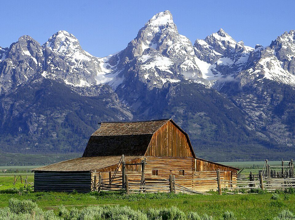 Big draw128 mi National ParkGrand Teton National Park3.8M visitors a year
 Big draw67 mi MountainYellowstone volcano
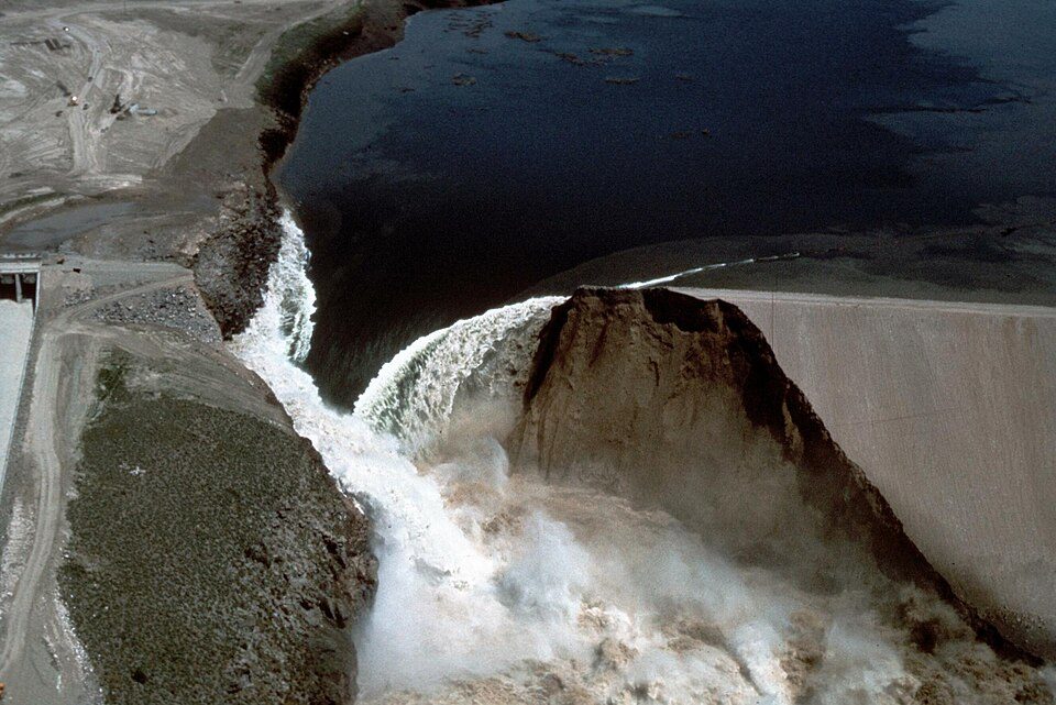 52 mi DamTeton Dam23 mi Ski areaSnow King Mountain39 runs · 1,701 ft vertical
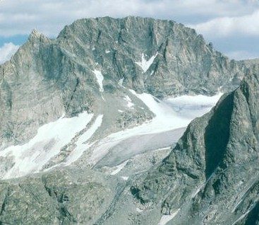 56 mi MountainGannett Peak
 34 mi Park & preserveNational Elk Refuge414 mi Ski areaJackson Hole Mountain Resort138 runs · 4,089 ft vertical
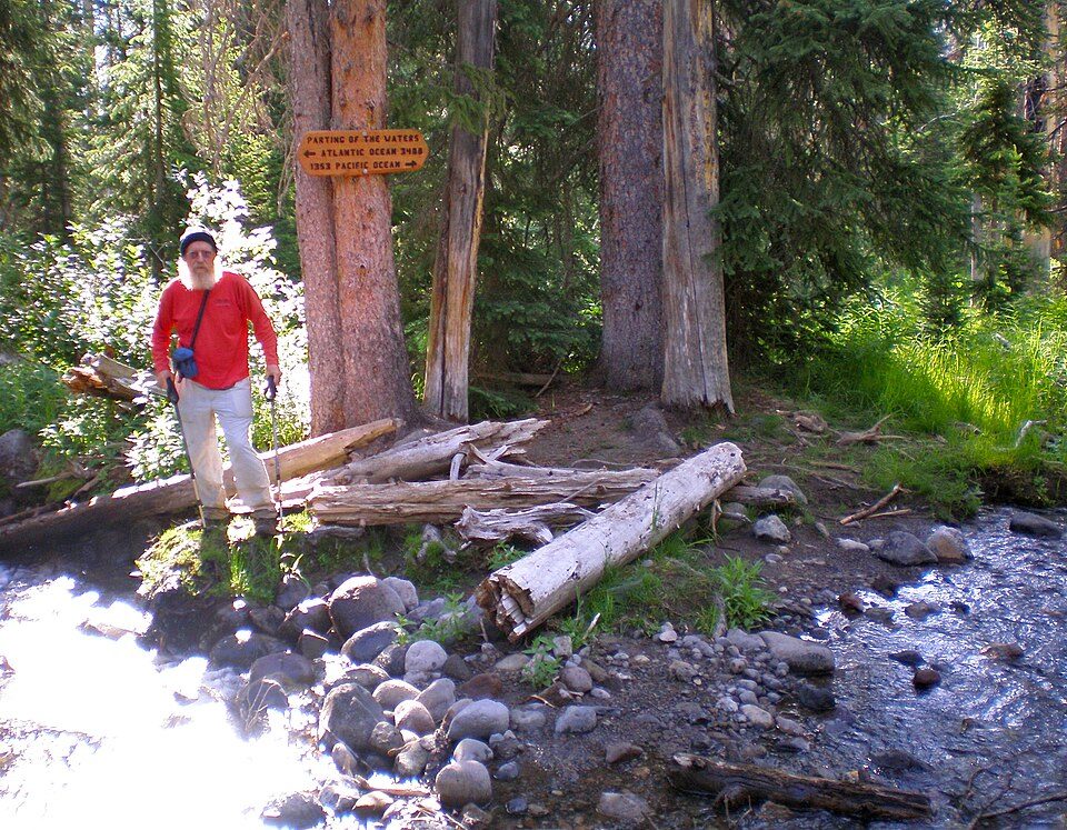 50 mi Park & preserveParting of the Waters
Photo credits
Grand Teton National Park: Jon Sullivan, PD Photo., Public domain · Yellowstone volcano: Ed Austin/Herb Jones, Public domain · Teton Dam: WaterArchives.org from Sacramento, California, USA, CC BY-SA 2.0 · Gannett Peak: U.S. Forest Service, Public domain · National Elk Refuge: Fish and Wildlife Service, Public domain · Parting of the Waters: Ericshawwhite, CC BY-SA 3.0


Before visiting Bridger–Teton National Forest
What town is Bridger–Teton National Forest near?
Rafter J Ranch, WY, about 3 miles west.
When is the best time to visit Bridger–Teton National Forest?
July and August, with highs of 77–78°.
What is the closest airport to Bridger–Teton National Forest?
Jackson Hole (JAC), about 12 miles away. The nearest big hub is Salt Lake City (SLC), about 193 miles.
Where should I stay near Bridger–Teton National Forest?
Jackson (4 mi, 63 places to stay), Teton Village (13 mi, 23 places to stay) and Moose Wilson Road (9 mi, 11 places to stay).
Local tips in Rafter J Ranch
Ask a question, or answer one, in Rafter J Ranch’s Town Square.
Sources: National Park Service · ski areas © OpenSkiMap / OpenStreetMap contributors · Wikidata · Wikipedia readership · NOAA climate normals · U.S. Census.