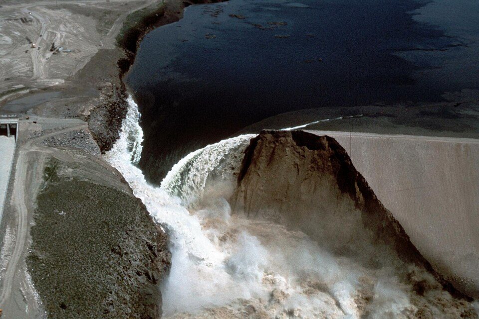
Teton Dam
The Teton Dam was an earthen dam in the western United States, on the Teton River in eastern Idaho. You will find it 8 mi southeast of St. Anthony. Pleasant highs of 73–84°F mark the mildest months, June, August and September.

A dam, 8 mi southeast of St. Anthony
Winters are cold
January nights drop to 11°. When to go ↓
St. Anthony is the nearest base
St. Anthony is 8 miles northwest, with 5 places to stay. Where to stay ↓
Best months: Jun, Aug and Sep
June, August and September are the mild months, with highs of 73–84°. When to go ↓
Written from NOAA 1991–2020 normals, Overture places to stay, Census town figures and Wikipedia.
The weather by month
A visit to Teton Dam can follow the seasons below.
Teton Dam
The Teton Dam was an earthen dam in the western United States, on the Teton River in eastern Idaho. It was built by the U.S. Bureau of Reclamation, one of eight federal agencies authorized to construct dams. Located between Fremont and Madison counties, it suffered a catastrophic failure on June 5, 1976, as it was filling for the first time.
The collapse of Teton Dam killed 11 people and 16,000 livestock. The dam cost about $100 million to build and the federal government paid over $300 million in claims arising from its failure. Total damage estimates reached $2 billion. The dam has not been rebuilt.
- Type
- Dam
- Wikipedia readers
- 50K a year
Towns to stay in near Teton Dam
Hotels, motels or campgrounds are closest in Rexburg (16) and Ashton (11).
Rexburg
The closest town with somewhere to stay.
40,334 people
14 mi southwest of Teton Dam
Compare 8 towns
| Town | From Teton Dam | Drive | Places to stay | People | Typical home | Safety |
|---|---|---|---|---|---|---|
| Rexburg | 14 mi southwest | 20 min | 16 10 hotels · 2 motels · 2 campgrounds · 2 RV parks | 40,334 | $395K | A |
| Ashton | 12 mi north | 20 min | 11 3 hotels · 2 motels · 5 lodges & cabins · 1 campground | 977 | $221K | — |
| St. Anthony | 8 mi northwest | 10 min | 5 1 hotel · 1 inn or B&B · 1 lodge or cabins · 2 campgrounds | 3,990 | $232K | A− |
| Parker | 12 mi west | 15 min | 3 2 campgrounds · 1 RV park | 289 | $290K | — |
| Driggs | 25 mi southeast | 40 min | 10 5 hotels · 2 motels · 1 inn or B&B · 1 lodge or cabins · 1 RV park | 2,403 | $525K | — |
| Warm River 100% vacation homes | 18 mi northeast | 25 min | 3 2 lodges & cabins · 1 campground | 1 | — | — |
| Rigby | 25 mi southwest | 35 min | 6 1 hotel · 1 motel · 2 campgrounds · 2 RV parks | 5,757 | $336K | B |
| Sugar City | 11 mi west | 15 min | 1 1 RV park | 2,476 | $350K | — |
Getting there
Nearest airports with airline service
Worth adding to a visit
These lie within 70 miles as the crow flies.
 Big draw54 mi MountainYellowstone volcano
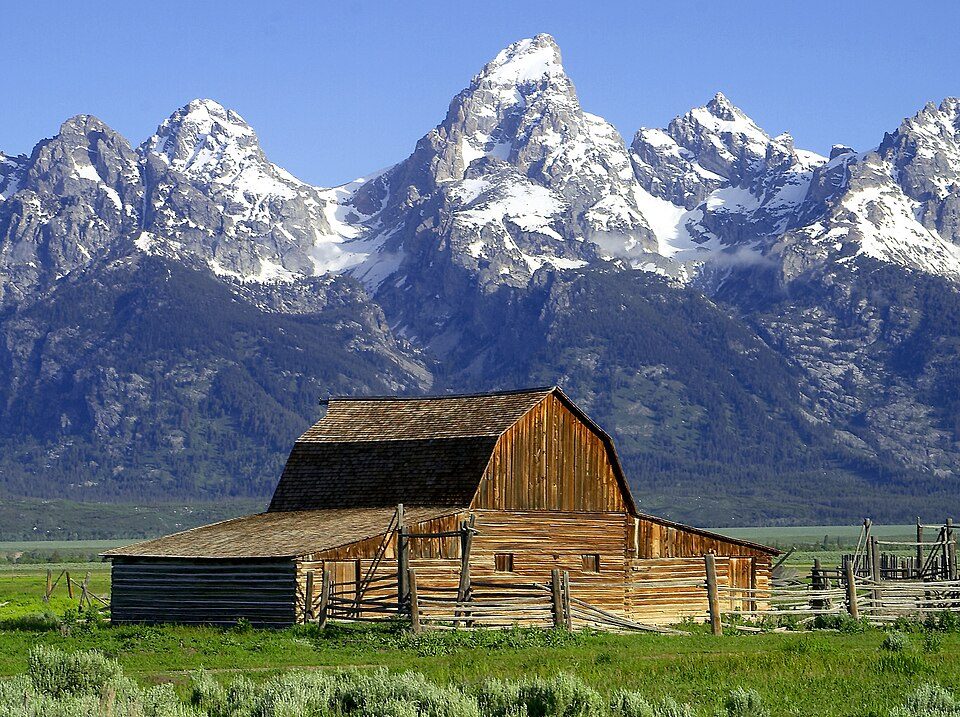 Big draw42 mi National ParkGrand Teton National Park3.8M visitors a year
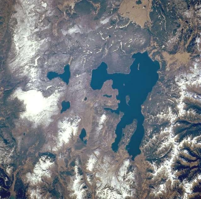 70 mi LakeYellowstone Lake
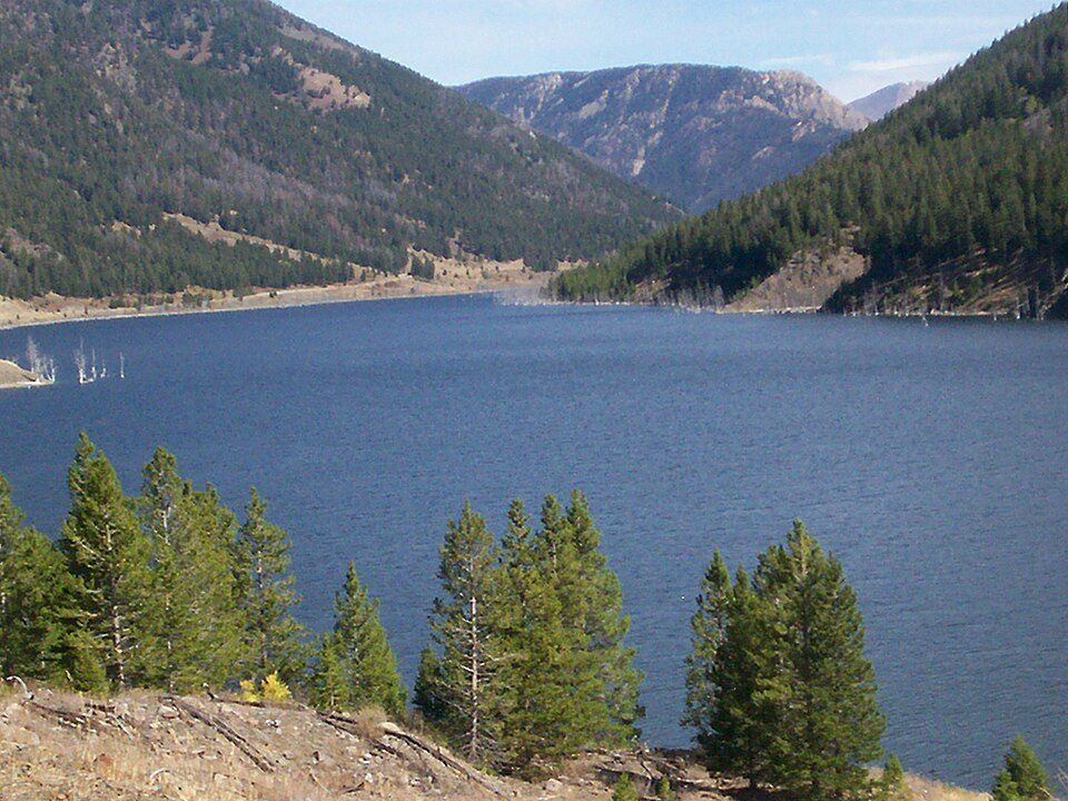 66 mi LakeQuake Lake31 mi Ski areaGrand Targhee Resort93 runs · 2,237 ft vertical
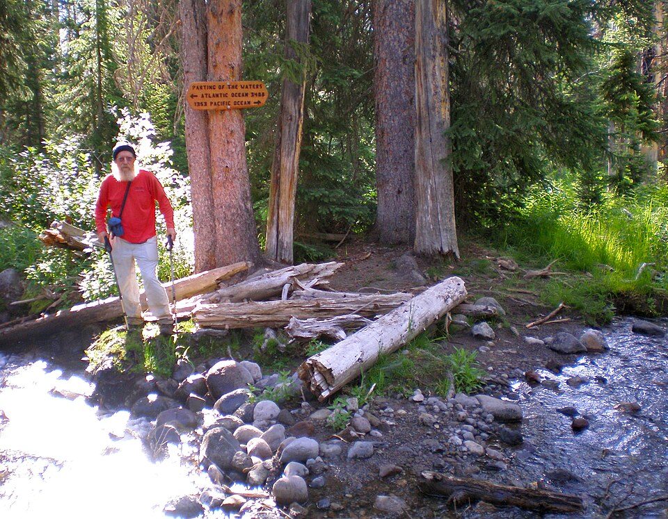 68 mi Park & preserveParting of the Waters
 52 mi National forestBridger–Teton National Forest40 mi Ski areaJackson Hole Mountain Resort138 runs · 4,089 ft vertical
Photo credits
Yellowstone volcano: Ed Austin/Herb Jones, Public domain · Grand Teton National Park: Jon Sullivan, PD Photo., Public domain · Yellowstone Lake: NASA, Public domain · Quake Lake: Staplegunther at English Wikipedia, CC BY-SA 3.0 · Parting of the Waters: Ericshawwhite, CC BY-SA 3.0 · Bridger–Teton National Forest: Unknown, Public domain


Visiting Teton Dam
What town is Teton Dam near?
St. Anthony, ID, about 8 miles northwest.
When is the best time to visit Teton Dam?
June, August and September, with highs of 73–84°.
What is the closest airport to Teton Dam?
Idaho Falls Regional (IDA), about 38 miles away. The nearest big hub is Salt Lake City (SLC), about 217 miles.
Where should I stay near Teton Dam?
Rexburg (14 mi, 16 places to stay), Ashton (12 mi, 11 places to stay) and St. Anthony (8 mi, 5 places to stay).
What locals in St. Anthony say
Nobody has posted a tip yet; ask or answer in St. Anthony’s Town Square.
Sources: National Park Service · ski areas © OpenSkiMap / OpenStreetMap contributors · Wikidata · Wikipedia readership · NOAA climate normals · U.S. Census.