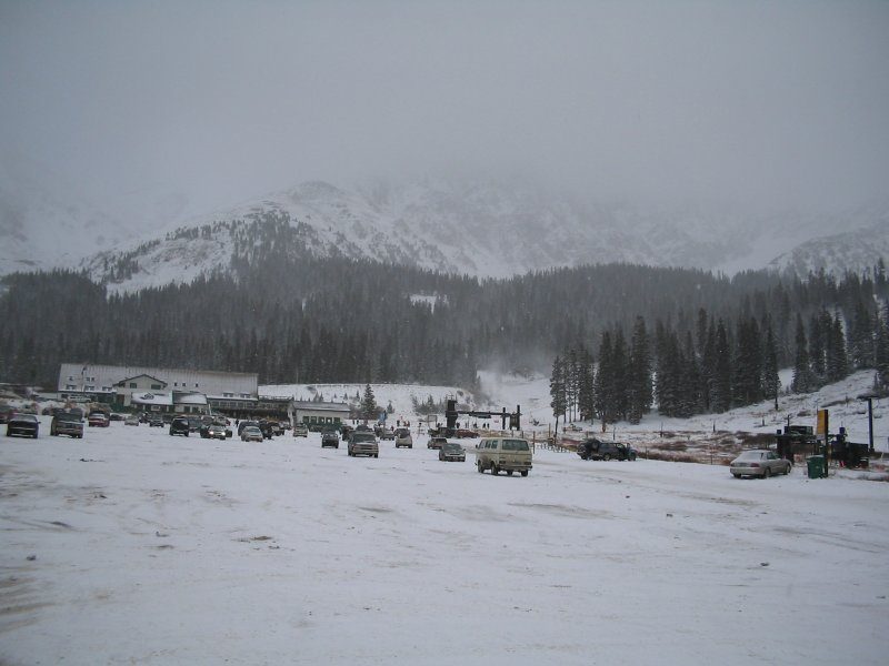
Arapahoe Basin
Arapahoe Basin ( ə-RAP-ə-hoh; often shortened to A-Basin, or simply The Basin) is an alpine ski area in the Rocky Mountains of the United States, in the Arapaho National Forest of Colorado. Look for it 3 mi northeast of Keystone. A drive of 13 mi reaches Mount Blue Sky.

A ski area, 3 mi northeast of Keystone
About 154 inches of snow a year
The nearest weather station records about 154" of snow in a normal winter, with January nights around 9°. When to go ↓
Keystone is the nearest base
Keystone is 3 miles southwest, with 48 places to stay. Where to stay ↓
A day trip from Denver
Denver is about 54 miles east (straight-line). Where to stay ↓
Written from NOAA 1991–2020 normals, Overture places to stay, Census town figures and Wikipedia.
The weather by month
A visit to Arapahoe Basin can follow the seasons below.
Arapahoe Basin
Arapahoe Basin ( ə-RAP-ə-hoh; often shortened to A-Basin, or simply The Basin) is an alpine ski area in the Rocky Mountains of the United States, in the Arapaho National Forest of Colorado. Arapahoe Basin is known for its extended season and its extreme terrain. Arapahoe Basin is located south of Loveland Pass on U.S. Highway 6 in Summit County. The resort's terrain spans over 1,400 acres, serving up a mix of groomed runs, moguls, cornices, and glades. It features a lift-served vertical drop of 2,270 feet and is served by nine lifts, with easy access to 145 trails. Additionally, there is a significant amount of hike-to terrain which expands the in-bounds area appeal. There is also an abundance of non-winter activities available.
- Type
- Ski area
- Terrain
- 103 runs · 2,038 ft vertical · 9 lifts
- Wikipedia readers
- 14K a year
- Official site
- arapahoebasin.com
Bases for Arapahoe Basin
For a bed close by, look to Keystone (48) and Breckenridge (83).
Keystone
The closest town with somewhere to stay.
1,274 people · 60% vacation homes
3 mi southwest of Arapahoe Basin
Compare 8 towns
| Town | From Arapahoe Basin | Drive | Places to stay | People | Typical home | Safety |
|---|---|---|---|---|---|---|
| Keystone 60% vacation homes | 3 mi southwest | 5 min | 48 35 hotels · 1 inn or B&B · 12 lodges & cabins | 1,274 | $1,285K | — |
| Breckenridge 56% vacation homes | 13 mi southwest | 20 min | 83 56 hotels · 1 motel · 4 inns & B&Bs · 20 lodges & cabins · 2 hostels | 5,015 | $1,013K | C− |
| Dillon 57% vacation homes | 9 mi west | 15 min | 18 11 hotels · 1 inn or B&B · 2 lodges & cabins · 1 hostel · 3 campgrounds | 1,029 | $1,090K | D |
| Frisco 52% vacation homes | 12 mi west | 20 min | 22 14 hotels · 1 motel · 2 inns & B&Bs · 1 lodge or cabins · 4 campgrounds | 2,792 | $891K | — |
| Winter Park 71% vacation homes | 18 mi north | 25 min | 36 26 hotels · 1 motel · 1 inn or B&B · 6 lodges & cabins · 2 campgrounds | 1,217 | $775K | — |
| Silverthorne 26% vacation homes | 12 mi west | 20 min | 15 11 hotels · 2 lodges & cabins · 2 hostels | 5,418 | $701K | C+ |
| Vail 51% vacation homes | 26 mi west | 40 min | 65 46 hotels · 3 inns & B&Bs · 14 lodges & cabins · 1 campground · 1 RV park | 4,407 | $1,401K | D |
| Georgetown | 11 mi northeast | 15 min | 10 3 hotels · 5 inns & B&Bs · 2 lodges & cabins | 1,217 | $522K | — |
Day trip from
Straight-line miles.
Getting there
Nearest airports with airline service
Around Arapahoe Basin
These lie within 51 miles as the crow flies.
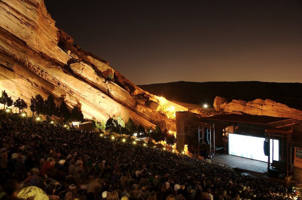 Big draw36 mi TheatreRed Rocks Amphitheatre
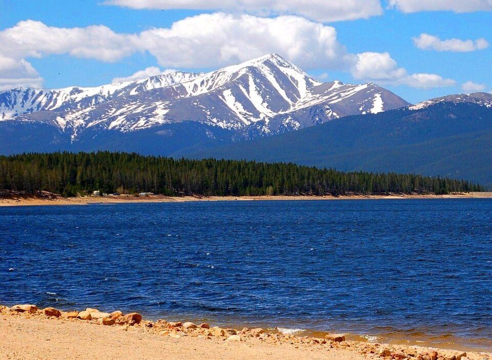 Big draw47 mi MountainMount Elbert
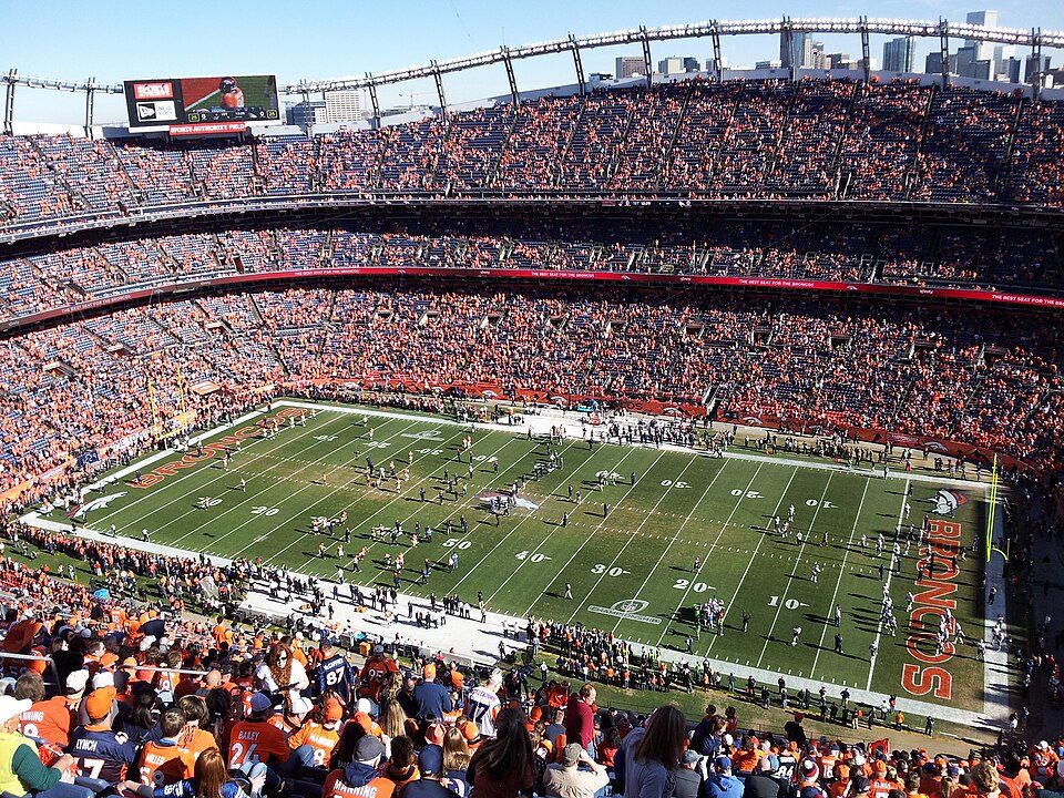 Big draw46 mi Stadium & arenaEmpower Field at Mile High
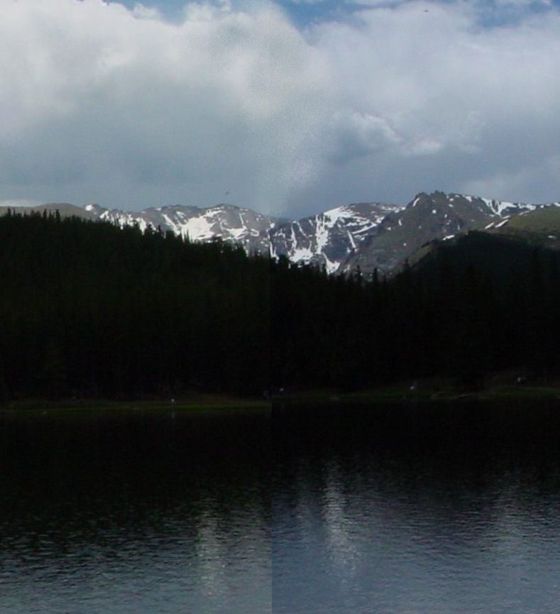 113 mi MountainMount Blue Sky
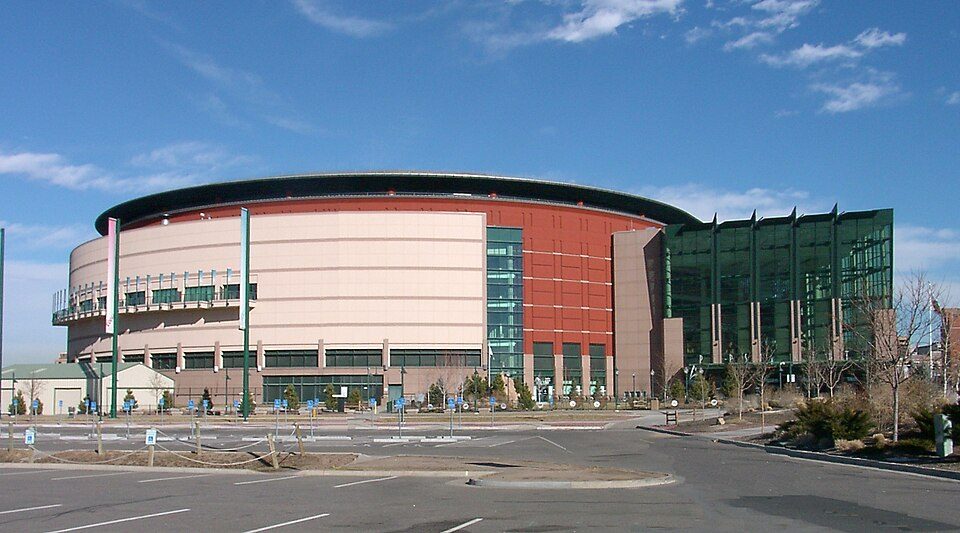 47 mi Stadium & arenaBall Arena
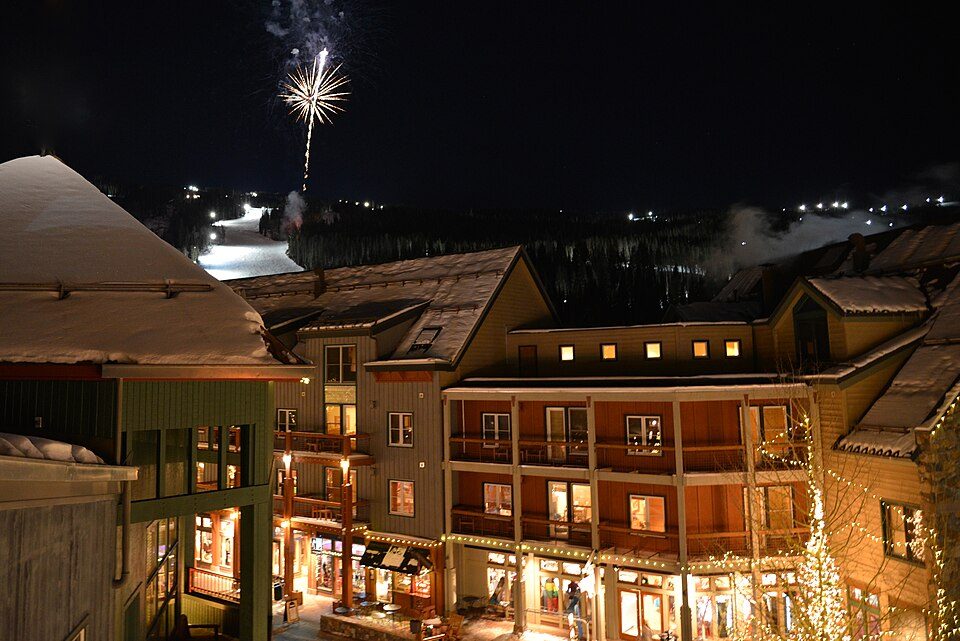 24 mi Ski areaKeystone164 runs · 3,196 ft vertical
 48 mi Stadium & arenaCoors Field
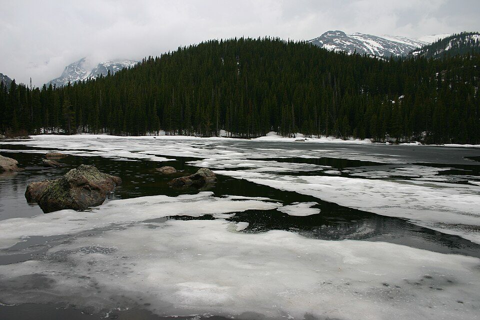 51 mi National ParkRocky Mountain National Park4.2M visitors a year
Photo credits
Red Rocks Amphitheatre: Unknown, CC BY-SA 3.0 · Mount Elbert: Hogs555 (talk · contribs), CC BY-SA 4.0 · Empower Field at Mile High: Thelastcanadian, CC BY-SA 3.0 · Mount Blue Sky: Lookinhere, CC BY-SA 3.0 · Ball Arena: KM Newnham, CC BY-SA 2.5 · Keystone: Ahodges7, CC BY-SA 3.0 · Coors Field: Matt Kozlowski, CC BY-SA 3.0 · Rocky Mountain National Park: Charles M. Sauer -- Charlessauer, CC BY-SA 3.0


Arapahoe Basin, answered
What town is Arapahoe Basin near?
Keystone, CO, about 3 miles southwest.
How far is Arapahoe Basin from Denver and Aurora?
About 54 miles east of Denver and about 62 miles east of Aurora, as the crow flies.
What is the closest airport to Arapahoe Basin?
Rocky Mountain Metropolitan (BJC), about 45 miles away. The nearest big hub is Denver (DEN), about 66 miles.
Where should I stay near Arapahoe Basin?
Keystone (3 mi, 48 places to stay), Breckenridge (13 mi, 83 places to stay) and Dillon (9 mi, 18 places to stay).
Ask people in Keystone
Nobody has posted a tip yet; ask or answer in Keystone’s Town Square.
Sources: National Park Service · ski areas © OpenSkiMap / OpenStreetMap contributors · Wikidata · Wikipedia readership · NOAA climate normals · U.S. Census.