
Anderson Canyon
Anderson Canyon in the Big Sur region of California was named after pioneering homesteaders James and Peter Andersen who were the first European settlers of the area. Its location is 24 mi south of Carmel Valley Village. A short trip away is McWay Falls, 0.5 mi off.

A canyon & gorge, 24 mi south of Carmel Valley Village
Plan where you’ll sleep
The nearest town with many places to stay is Carmel Valley Village, 24 miles north. Where to stay ↓
A day trip from San Jose
San Jose is about 79 miles north (straight-line). Where to stay ↓
Best months: Jan, Feb, Mar, Apr, May, Jun, Jul, Aug, Sep, Oct and Nov
January, February, March, April, May, June, July, August, September, October and November are the mild months, with highs of 63–79°. When to go ↓
Written from NOAA 1991–2020 normals, Overture places to stay, Census town figures and Wikipedia.
The climate here
Pick a month for Anderson Canyon from the weather below.
Anderson Canyon
Anderson Canyon in the Big Sur region of California was named after pioneering homesteaders James and Peter Andersen who were the first European settlers of the area. The canyon, Anderson Creek, and Anderson Peak (4,099 feet (1,249 m)) are south of McWay Falls and within the boundaries of Julia Pfeiffer Burns State Park.
During the construction of Highway One in the 1920s and the 1930s, it was the location of a convict work camp. After the camp closed, literary bohemians like Henry Miller rented the shacks, forming what Miller later called the "Anderson Creek Gang".
- Type
- Canyon & gorge
- Wikipedia readers
- 6.9K a year
Nights near Anderson Canyon
To stay close, try Carmel Valley Village (11) and Greenfield (3), and Monterey has the most rooms in the area (87).
Carmel Valley Village
The closest town with somewhere to stay.
4,785 people
24 mi north of Anderson Canyon
Monterey
The most places to stay in the area, and a base for a longer trip.
28,953 people
33 mi north of Anderson Canyon
Compare 6 towns
| Town | From Anderson Canyon | Drive | Places to stay | People | Typical home | Safety |
|---|---|---|---|---|---|---|
| Carmel Valley Village | 24 mi north | 35 min | 11 4 hotels · 2 inns & B&Bs · 3 lodges & cabins · 2 campgrounds | 4,785 | $1,276K | — |
| Greenfield | 26 mi northeast | 40 min | 3 2 motels · 1 RV park | 21,138 | $531K | C− |
| Fort Hunter Liggett | 27 mi southeast | 40 min | 2 2 hotels | 1,119 | — | — |
| Soledad | 28 mi northeast | 40 min | 2 2 hotels | 26,357 | $596K | B− |
| Gonzales | 27 mi northeast | 40 min | 1 1 motel | 8,313 | $619K | B− |
| Monterey | 33 mi north | 50 min | 87 56 hotels · 14 motels · 11 inns & B&Bs · 4 lodges & cabins · 1 hostel · 1 RV park | 28,953 | $1,076K | C− |
Day trip from
Straight-line miles.
Getting there
Nearest airports with airline service
Next door to Anderson Canyon
You can reach each of these within 43 miles.
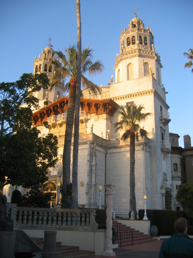 Big draw43 mi State parkHearst Castle
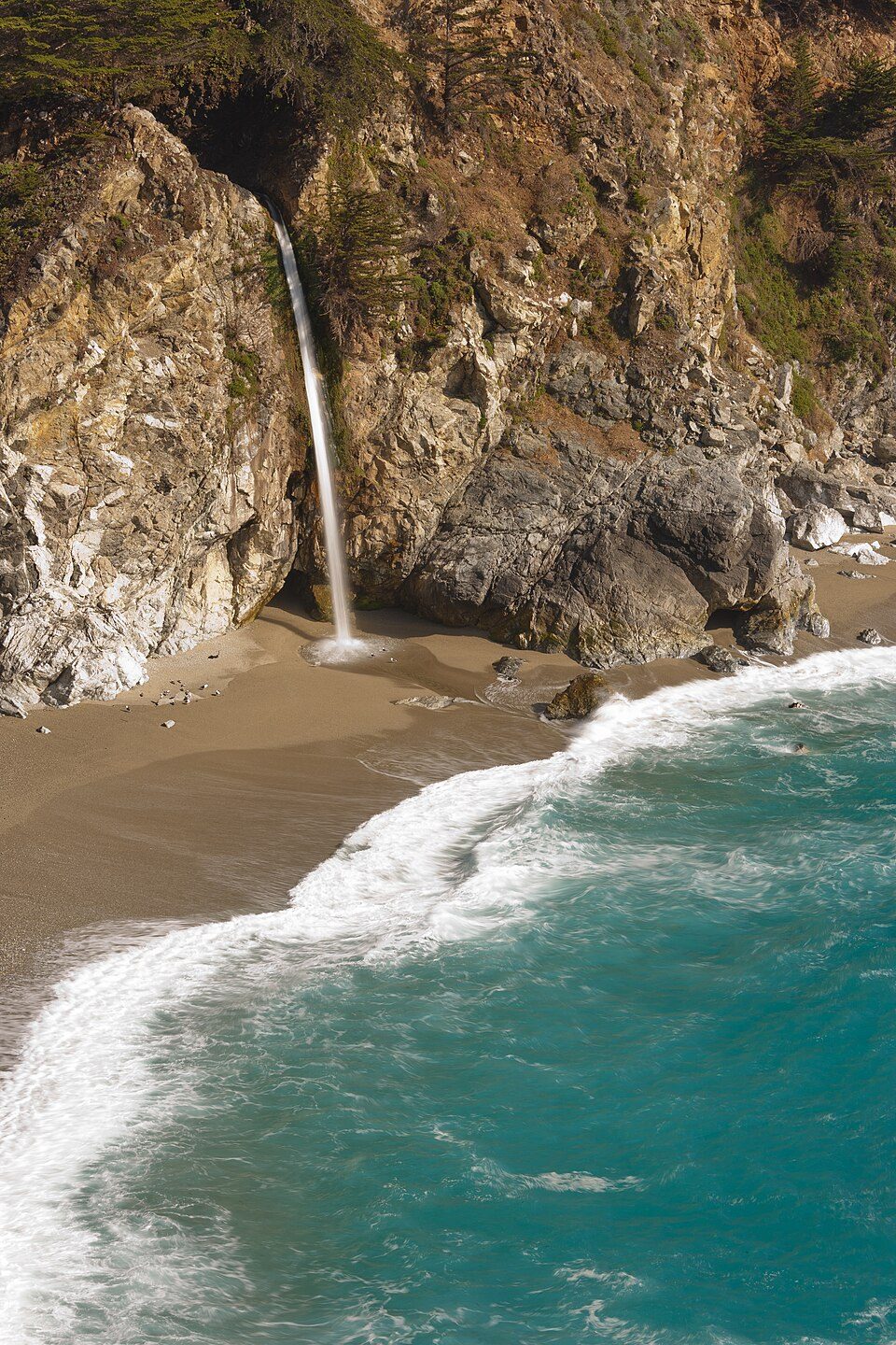 1in town WaterfallMcWay Falls
 35 mi Zoo & aquariumMonterey Bay Aquarium
 33 mi MuseumMonterey Museum of Art
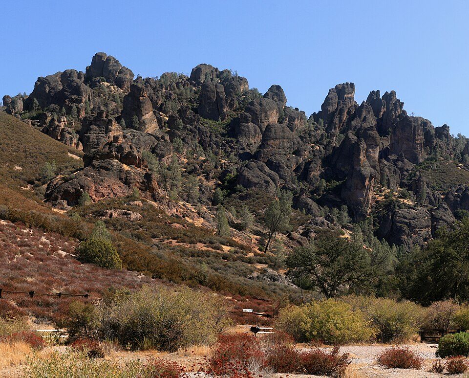 36 mi National ParkPinnacles National Park343K visitors a year
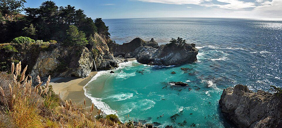 2in town State parkJulia Pfeiffer Burns State Park
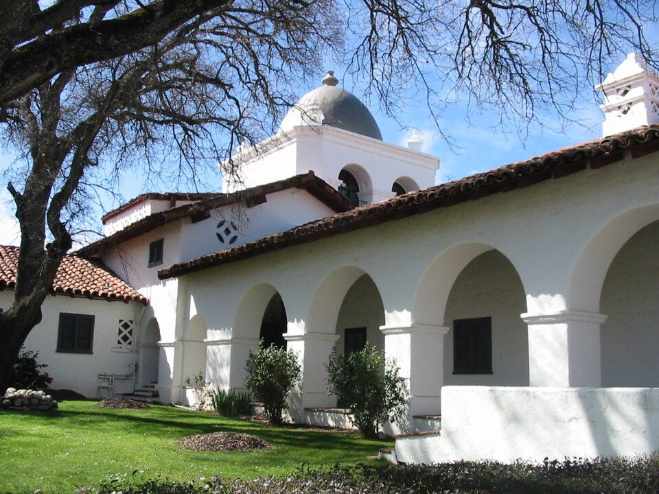 328 mi LandmarkFort Hunter Liggett
 34 mi Scenic drive17-Mile Drive
Photo credits
Hearst Castle: No machine-readable author provided. Urban~commonswiki assumed (based on copyrig, CC BY-SA 3.0 · McWay Falls: King of Hearts, CC BY-SA 3.0 · Monterey Bay Aquarium: Meij.kobayashi, Public domain · Monterey Museum of Art: Sgerbic, CC BY-SA 4.0 · Pinnacles National Park: Brocken Inaglory, CC BY-SA 3.0 · Julia Pfeiffer Burns State Park: Wordydave, CC BY-SA 3.0 · Fort Hunter Liggett: Binksternet, Public domain · 17-Mile Drive: Humanoid one, CC BY-SA 3.0


Anderson Canyon: what to know
What town is Anderson Canyon near?
Carmel Valley Village, CA, about 24 miles north.
When is the best time to visit Anderson Canyon?
January, February, March, April, May, June, July, August, September, October and November, with highs of 63–79°.
How far is Anderson Canyon from San Jose?
About 79 miles north of San Jose, as the crow flies.
What is the closest airport to Anderson Canyon?
Monterey Regional (MRY), about 32 miles away. The nearest big hub is Mineta San Jose (SJC), about 85 miles.
Where should I stay near Anderson Canyon?
Monterey (33 mi, 87 places to stay), Carmel Valley Village (24 mi, 11 places to stay) and Greenfield (26 mi, 3 places to stay).
What locals in Carmel Valley Village say
Questions and tips go in Carmel Valley Village’s Town Square.
Sources: National Park Service · ski areas © OpenSkiMap / OpenStreetMap contributors · Wikidata · Wikipedia readership · NOAA climate normals · U.S. Census.