St. Charles’ post office opened in 1850, and 2 of its places are on the National Register
Most of St. Charles was built recently: 1% of its homes predate 1940 and the median home dates from 1981. Its Register listings are the St. Charles Battle Site and the St. Charles Battle Monument. Below: maps from 1939 on and the census since 1880.
The area known as St. Charles was within the territory of the Middle Mississippian culture during the Woodland Period of Native American History. In early modern times, possibly after Hernando De Soto's initial exploration of the American Southeast, the area encompassing the whole of Arkansas County and much of Eastern Arkansas became Quapaw territory and remained so until the arrival of French explorers in the 17th century. After American settlers started to move into the Arkansas territory, A treaty signed in 1818 moved most all of the Quapaw from what is now Arkansas County to the center of the state. By 1833, the Quapaw were no longer in Arkansas. The first settler to set foot in what is Now St. Charles was French Coureur des Bois Pierre Pertuis, who moved to the area after having purchased land from the 1797 Spanish land grant. By 1839, Charles W. Belknap owned the site, known bri…
Founding dates: Wikidata, Wikipedia, the U.S. post office records of Blevins & Helbock (CC0) and the Census. Homes by year built: Census ACS 2020–24. National Register of Historic Places: National Park Service (list of May 22, 2026). Old photos, postcards and papers: Wikimedia Commons, the Library of Congress and other public archives, credited on each item’s page. Maps: U.S. Geological Survey historical topographic maps (via Esri) and Sanborn fire-insurance maps (Library of Congress). History text and census tables: Wikipedia (CC BY-SA 4.0). Places that used to be: USGS Geographic Names Information System (2021). How TownRatings grades history →
From Wikimedia Commons (2), the National Register of Historic Places (2), Wikipedia, U.S. Geological Survey historical maps, U.S. Census counts (via Wikipedia), the US Post Offices dataset (Blevins & Helbock) and the USGS Geographic Names Information System. Archive images are copied here with their credits and licenses, shown on each photo’s page. Refreshed monthly.


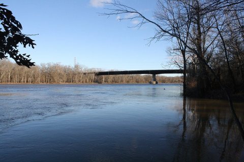 2024
 2024


