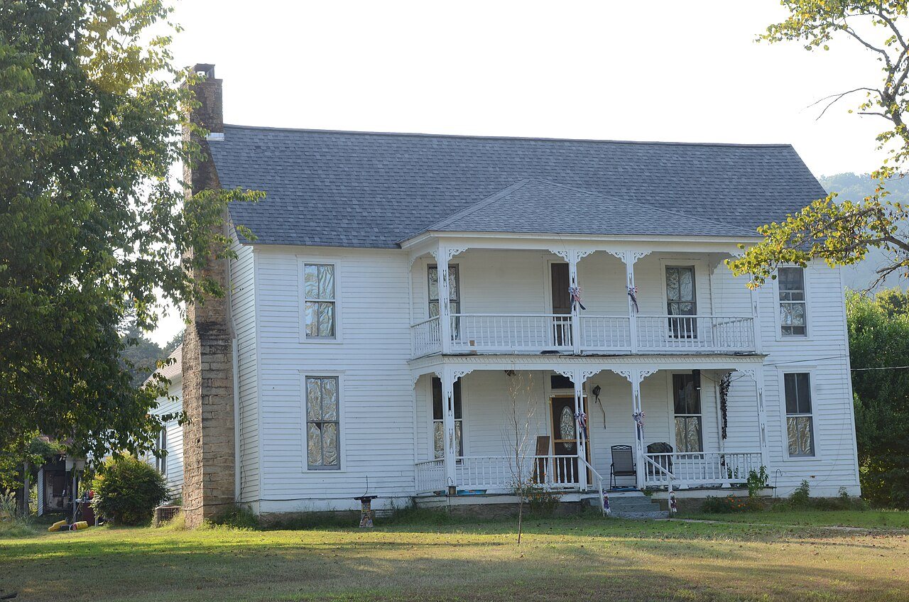
Thomas E. Hess House · Photo: Valis55 · CC BY-SA 3.0
–Not graded
History · Pleasant Grove
Pleasant Grove’s post office opened in 1930, and 3 of its places are on the National Register
Most of Pleasant Grove was built recently: 0.0% of its homes predate 1940 and the median home dates from 1985. Its Register listings are the Henry Copeland House, the John Bettis House and the Davis Barn. Below: maps from 1890 on.
The Pleasant Grove post office opened in 1930, the earliest record of the town by name. Another post office, Redstripe (1912), opened inside today’s town and later closed.
2020 census: 23596 years
Founding year: the first Pleasant Grove post office (Blevins & Helbock, CC0).
What stands out about Pleasant Grove’s past
Read from the archive, the National Register and the record. The page puts what stands out first.
Every edition of the U.S. Geological Survey’s map of Pleasant Grove. Tap a year, or press play to watch the town change.
1890Batesville sheet · 1:125,000
U.S. Geological Survey historical topographic maps (public domain), via Esri’s collection of the scans. The red ring marks the center of Pleasant Grove.
The story so far
Pleasant Grove, in brief
Wikipedia doesn’t have a history of Pleasant Grove yet. The photos, dates and memories neighbors add here are how it gets written.
Pleasant Grove is an unincorporated community and census-designated place (CDP) in Stone County, Arkansas, United States. It was first listed as a CDP in the 2020 census with a population of 235. Pleasant Grove is located along Arkansas Highway 14, 12.5 miles (20.1 km) east-southeast of Mountain View. Pleasant Grove has a post office with ZIP code 72567.
Its first post office opened in 1930.
Intro from Wikipedia. Population: U.S. Census Bureau.
Timeline
Pleasant Grove, 1890 to 1930
Woven from the archive, old maps, post office records, the National Register and the people born here.
Founding dates: Wikidata, Wikipedia, the U.S. post office records of Blevins & Helbock (CC0) and the Census. Homes by year built: Census ACS 2020–24. National Register of Historic Places: National Park Service (list of May 22, 2026). Old photos, postcards and papers: Wikimedia Commons, the Library of Congress and other public archives, credited on each item’s page. Maps: U.S. Geological Survey historical topographic maps (via Esri) and Sanborn fire-insurance maps (Library of Congress). History text and census tables: Wikipedia (CC BY-SA 4.0). Places that used to be: USGS Geographic Names Information System (2021). How TownRatings grades history →
From the National Register of Historic Places (3), U.S. Geological Survey historical maps, the US Post Offices dataset (Blevins & Helbock) and the USGS Geographic Names Information System. Archive images are copied here with their credits and licenses, shown on each photo’s page. Refreshed monthly.