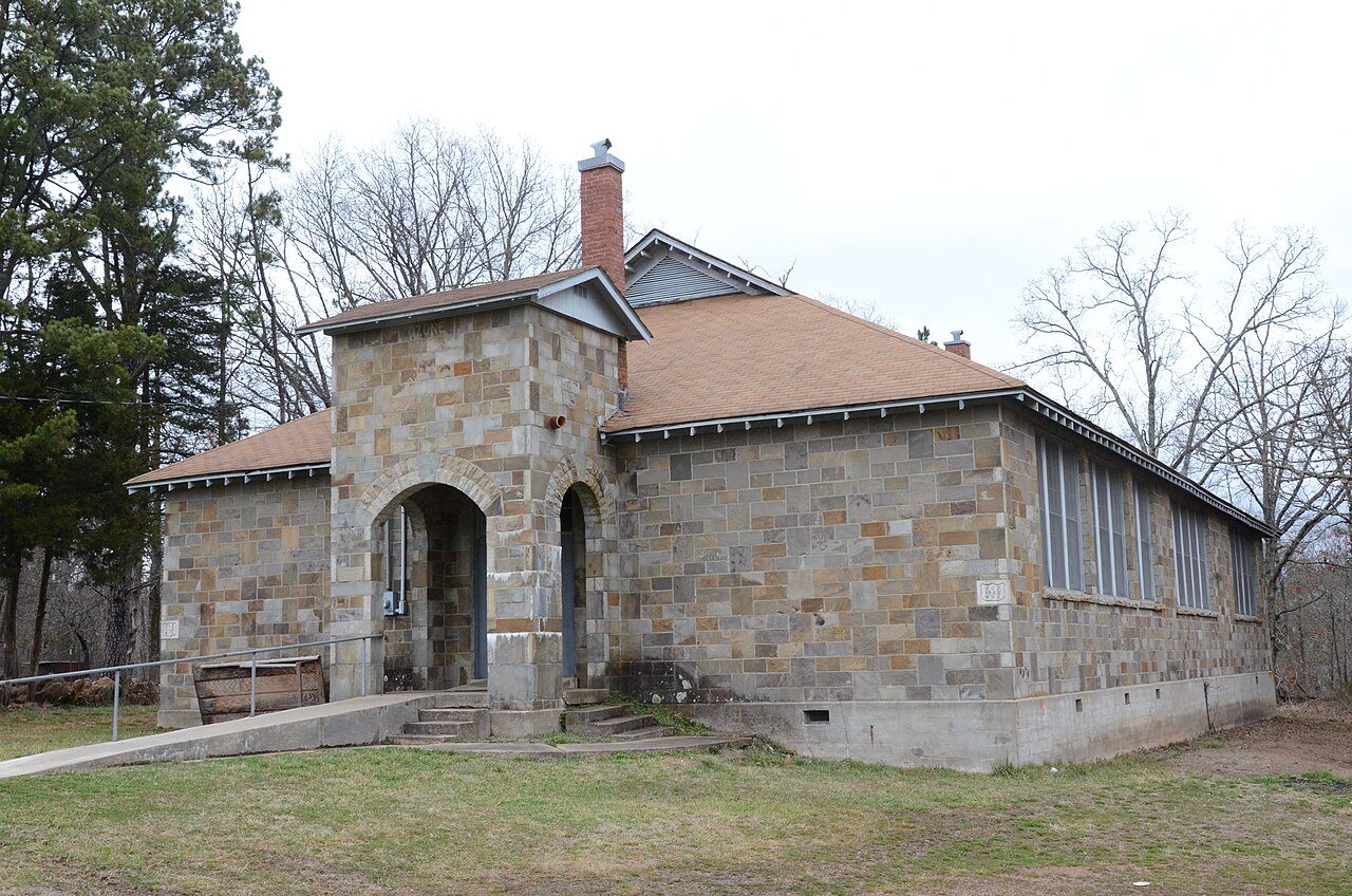
Ozone School · National Register of Historic Places
Ozone’s story
153 years in pictures
The archive holds 3 maps from 1889 on.
1 place on the National Register of Historic Places.
- 1873Ozone is settled
Each edition grades its towns against each other only.

The town was settled in 1873 and has 194 residents today.
32% of residents live below the poverty line in Ozone, above both Arkansas’ towns (18%) and U.S. towns (9.6%). No town among the 124 in Arkansas we compare has a higher share of homes lived in by their owners than Ozone. Union School and Ozone School is on the National Register of Historic Places. Ozone has fewer than 1,000 residents, too few for fair grades; the figures below are still real.
The archive holds 3 maps from 1889 on.
1 place on the National Register of Historic Places.
In a town this size, neighbors are the best guide. Ask them anything.
Ordered by what stands out in Ozone.
Of the losses FEMA expects in Ozone, 49% come from inland flooding and 19% from tornadoes. Expected damage from storms and floods is higher here than in 73% of U.S. communities. One declared disaster, in 2011, has brought federal aid to Ozone households.
FEMA disaster declarations and aid · FEMA National Risk Index · OpenFEMA
Of the 124 Arkansas towns we compare, none has a lower July high than Ozone. July afternoons reach 87°, January nights drop to 29° and about 2 inches of snow falls in a winter.
NOAA U.S. Climate Normals, 1991–2020
Typical home values rose 8.9% in the year to September 2026.
Zillow Home Value Index · Redfin Data Center
The share of adults in Ozone who have high blood pressure: 49%. The town does better than the Arkansas average on 4 of 32 CDC measures and worse on 9. 16% of adults locally have diabetes; 13% binge drink. Among 124 Arkansas towns, just 6 have a lower share of adults who feel lonely than Ozone.
| Ozone | Arkansas towns | U.S. towns | |
|---|---|---|---|
| High blood pressure (CDC PLACES) | 49% | 41% | 35% |
| Diabetes (CDC PLACES) | 16% | 13% | 12% |
| Binge drink (CDC PLACES) | 13% | 15% | 16% |
| Get no exercise (CDC PLACES) | 35% | 34% | 25% |
| What stands out | Ozone | AR |
|---|---|---|
| Fewer adults facing a utility shut-off | 8.2% | 10.4% |
| Fewer adults facing housing insecurity | 11.4% | 14.4% |
| More adults with heart disease | 11.4% | 7.7% |
CDC PLACES 2025 · modeled estimates for adults · CMS · HRSA
| Biggest places to walk | Trails | Acres |
|---|---|---|
| 1. Ozark-Saint Francis National Forest | — | 6 |
Trails & parks © OpenStreetMap contributors · Conserved land: USGS PAD-US
Ozone is unincorporated, so Johnson County and regional agencies provide most services.
EPA SDWIS (Oct 9, 2026) · HIFLD + EIA-861 2025 · Census 2020 ZCTAs · NCES 2024–25 · registration: vote.gov, updated Nov 18, 2024.
1 within 15 miles of the center of Ozone
About 0 of every 100 Ozone residents are enrolled in college, against 5 across Arkansas.
Census-designated place in Arkansas, United States
Ozone is an unincorporated community and census-designated place (CDP) in Johnson County, Arkansas, United States. Ozone is located on Arkansas Highway 21, 11.5 miles (18.5 km) north of Clarksville. It was first listed as a CDP in the 2020 census with a population of 92. Ozone has a post office with ZIP code 72854.
From Wikipedia, licensed CC BY-SA 4.0 · facts via Wikidata (CC0)
Short answers, built from the data on this page.
Ozone has fewer than 1,000 residents, too few for fair grades; the figures below are still real.
Ask a question, answer one, post a photo or an event. Free, and the parts only a neighbor would know are the parts worth reading.