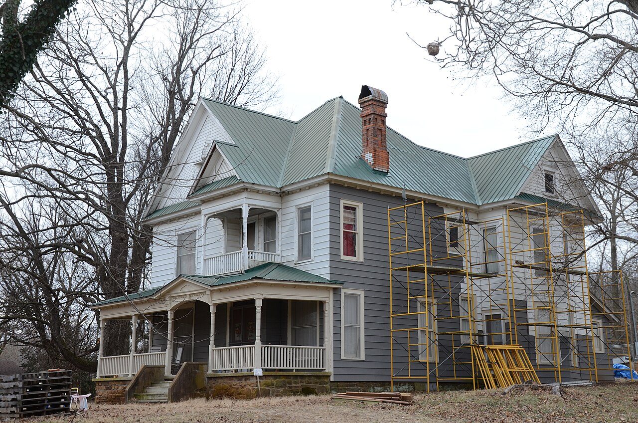
197 years in pictures
The archive holds 12 old photos and papers going back to 1933 and a map from 1970 on.
15 places on the National Register of Historic Places.
- 1829Canehill is settled

Each edition grades its towns against each other only.

A town in Arkansas.
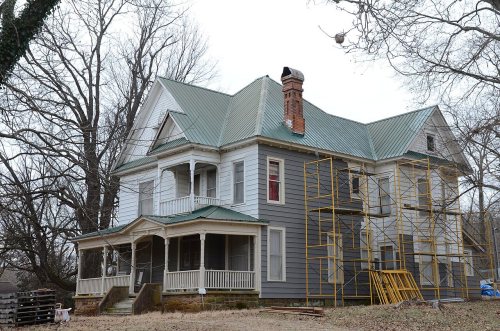
Its National Register listings include Cane Hill Battlefield and Blackburn House. We don’t grade Canehill yet; the figures below are still real.
Where Canehill beats most towns.
The archive holds 12 old photos and papers going back to 1933 and a map from 1970 on.
15 places on the National Register of Historic Places.
Canehill is unincorporated, so Washington County and regional agencies provide most services.
EPA SDWIS (Oct 9, 2026) · HIFLD + EIA-861 2025 · Census 2020 ZCTAs · NCES 2024–25 · registration: vote.gov, updated Nov 18, 2024.
Ordered by what stands out in Canehill.
Canehill’s typical July afternoon high comes in at 89°F.
NOAA U.S. Climate Normals, 1991–2020
For adults in Canehill, the share who have obesity is 40%. 18% of Canehill adults report frequent physical distress, where Arkansas’ towns sit at 16% and U.S. towns at 14%. Two figures for adults locally: 20% smoke cigarettes, 43% have high blood pressure.
| Canehill | Arkansas towns | U.S. towns | |
|---|---|---|---|
| Frequent physical distress (CDC PLACES) | 18% | 16% | 14% |
| Smoke cigarettes (CDC PLACES) | 20% | 17% | 14% |
| High blood pressure (CDC PLACES) | 43% | 41% | 35% |
| Fair or poor health (CDC PLACES) | 26% | 25% | 19% |
| What stands out | Canehill | AR |
|---|---|---|
| More smokers | 19.8% | 15.8% |
| Fewer women getting mammograms | 60.9% | 71.4% |
CDC PLACES 2025 · modeled estimates for adults · CMS · HRSA
Canehill’s FEMA hazard score stands at 56 of 100, below Arkansas’ towns (66 of 100) but above U.S. towns (44 of 100). Expected losses in Canehill break down as 31% from heat waves and 31% from inland flooding. Federal disaster aid has reached households in Canehill after 3 declared disasters, most recently in 2017.
FEMA disaster declarations and aid · FEMA National Risk Index · OpenFEMA
Zillow Home Value Index · Redfin Data Center
Museums, parks, gardens and other places to visit around Canehill. Close and well known come first.
34 mi MuseumCrystal Bridges Museum of American Art
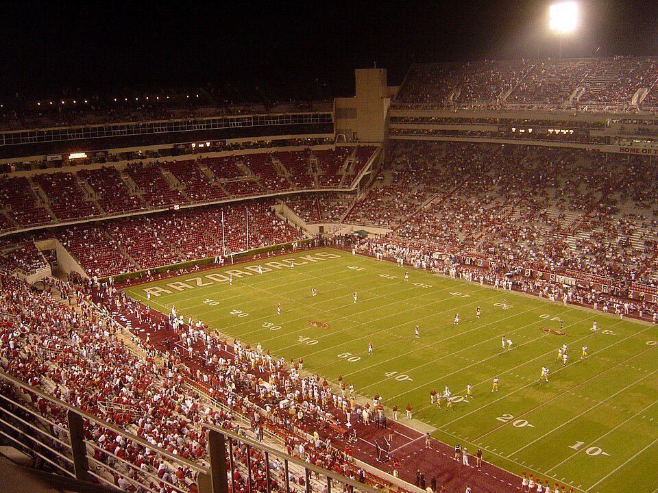
16 mi Stadium & arenaDonald W. Reynolds Razorback Stadium
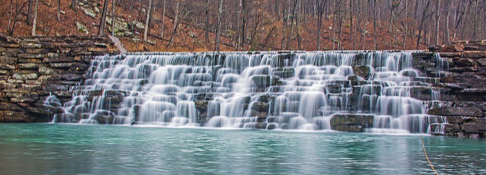
12 mi State parkDevil's Den State Park
16 mi Stadium & arenaBud Walton Arena
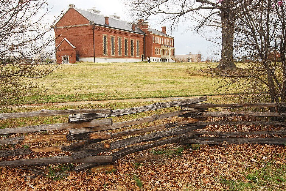
36 mi National Historic SiteFort Smith National Historic Site107K visitors a year
40 mi National Military ParkPea Ridge National Military Park132K visitors a yearCrystal Bridges Museum of American Art: Charvex, CC0 · Donald W. Reynolds Razorback Stadium: Bobak at en.wikipedia, CC BY-SA 2.5 · Devil's Den State Park: jaystout, CC BY 2.0 · Bud Walton Arena: ~ (The Rebel At) ~, CC BY-SA 3.0 · Fort Smith National Historic Site: Photolitherland (talk) Chris Litherland, CC BY-SA 3.0 · Pea Ridge National Military Park: Chris Light (talk), CC BY-SA 3.0
None within 15 miles of Canehill; the nearest are
15 places in Canehill on the National Register of Historic Places.
Unincorporated community in Arkansas
Canehill, also known as Cane Hill and Boonsboro, is an unincorporated community and census-designated place (CDP) in Washington County, Arkansas, United States. It was first listed as a CDP in the 2020 census with a population of 74. The community is located in the Ozark Mountains on the outskirts of the Northwest Arkansas metropolitan area. One of the most historic communities in the state, Canehill contains seventeen listings on the National Register of Historic Places (NRHP). The Cane Hill College began operations in 1834, which led to the rapid growth and development of the community as a center of higher education. The college and community suffered during the American Civil War, and w…
From Wikipedia, licensed CC BY-SA 4.0 · facts via Wikidata (CC0)
Short answers, built from the data on this page.
We don’t grade Canehill yet; the figures below are still real. A town in Arkansas.