Hayneville dates to 1820, and 1 of its places is on the National Register
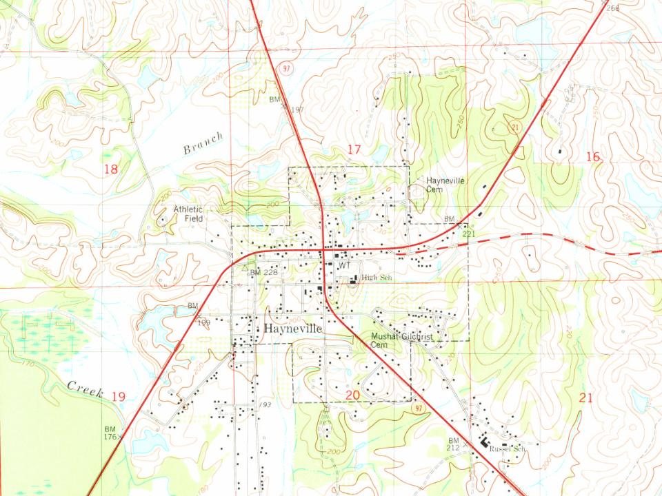
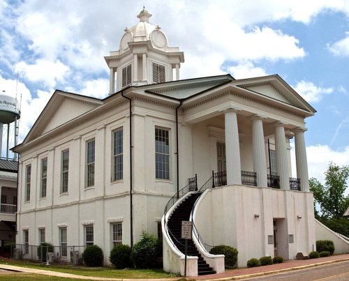
Most of Hayneville was built recently: 4% of its homes predate 1940 and the median home dates from 1978. Its Register listing is the Lowndes County Courthouse. Below: maps from 1981 on and the census since 1850.
Hayneville was founded in 1820 by settlers from the Edgefield, Abbeville, and Colleton districts of South Carolina on property purchased from the U.S. Land Office at Cahawba. Throughout the 1820s, Hayneville was known as "Big Swamp". The indigenous Muscogee Creek people had been forced to cede their lands under various treaties with the United States, and most of them were removed to Indian Territory west of the Mississippi River.
In 1831, after being chosen as the county seat of Lowndes County, the town was officially named Hayneville in honor of Robert Y. Hayne, governor of South Carolina and a U.S. senator.
Hayneville’s post office has been open since 1831. Another post office, Big Swamp, opened and closed inside today’s town.
Big Swamp
1820–1831
Hayneville
1831–today
18201920today
2cemeteries and burying grounds inside Hayneville
HaynevilleMushat Gilchrist
US Post Offices dataset (Blevins & Helbock, CC0). Places and cemeteries from the USGS Geographic Names Information System (2021).
Questions about Hayneville’s history
What year was Hayneville founded?
In 1820, according to Wikidata and Wikipedia’s history of the town. Hayneville’s post office opened in 1820, and the census of 1850 counted 800 people here.
What is on the National Register in Hayneville?
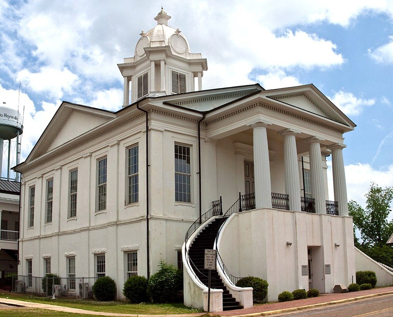
One place: the Lowndes County Courthouse (listed 1971).
Founding dates: Wikidata, Wikipedia, the U.S. post office records of Blevins & Helbock (CC0) and the Census. Homes by year built: Census ACS 2020–24. National Register of Historic Places: National Park Service (list of May 22, 2026). Old photos, postcards and papers: Wikimedia Commons, the Library of Congress and other public archives, credited on each item’s page. Maps: U.S. Geological Survey historical topographic maps (via Esri) and Sanborn fire-insurance maps (Library of Congress). History text and census tables: Wikipedia (CC BY-SA 4.0). Places that used to be: USGS Geographic Names Information System (2021). How TownRatings grades history →
From Wikimedia Commons (12), the National Register of Historic Places (1), Wikipedia, Wikidata and Wikipedia for famous people, U.S. Geological Survey historical maps, U.S. Census counts (via Wikipedia), the US Post Offices dataset (Blevins & Helbock) and the USGS Geographic Names Information System. Archive images are copied here with their credits and licenses, shown on each photo’s page. Refreshed monthly.


 2022
 2022
 2022
 2022
 2022
 2012
 2012
 2012
 2011
 2011
 2011
 2011