Guntersville dates to 1765, and 7 of its places are on the National Register
More historic than 58% of U.S. towns · #54 of 187 in Alabama. What drives it
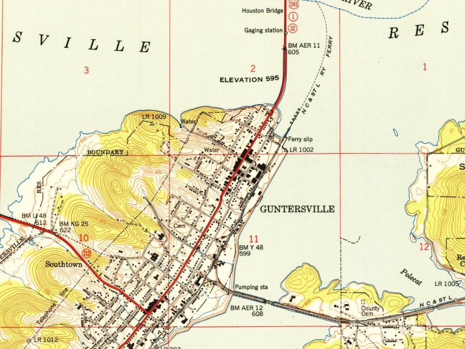
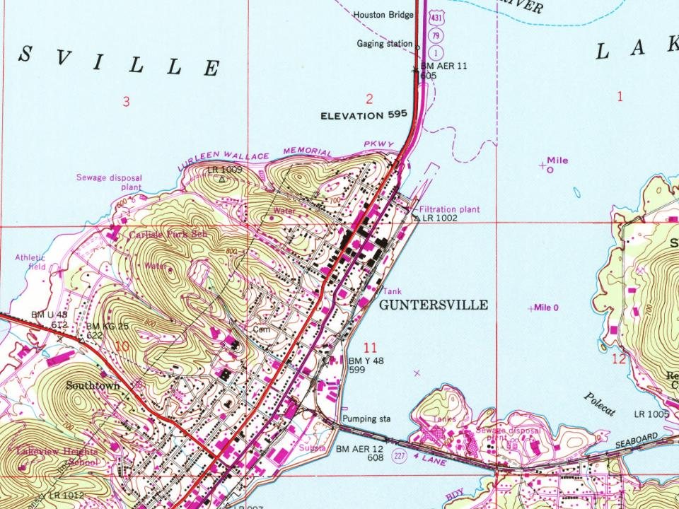
Most of Guntersville was built recently: 4% of its homes predate 1940 and the median home dates from 1980. 7 places in town are on the National Register, among them a historic district with 56 buildings. Below: 10 old photos and papers, maps from 1930 on, and the census since 1870.
Founding year: Wikipedia. First post office: 1835.The full story ↓
History grade
What drives Guntersville’s History grade
On its age, its old homes and the National Register, Guntersville is more historic than 58% of U.S. towns, #54 of 187 in Alabama. Its National Register listings hold the grade up; its share of homes from before 1940 pulls it down.
B
HistoryA character grade: shown, never part of Guntersville’s overall grade.
Alabama towns list about as much on the Register as the country (a typical Alabama town has 2.7 per 10,000 residents, the U.S. 2.4), so Guntersville’s 69.5 sits above most of its state (78% of Alabama towns have fewer) while its 62 historic buildings outnumber those of 86% of U.S. towns.
NoteThe founding year comes from Wikipedia alone; no second source gives 1765.
How sure. Graded on two of the three inputs, so a change in either one moves the letter more than it would with three. The pre-1940 share (±1.0 points) is firm at this size.
Founding year: Wikipedia (other dates in Quick answers). Homes: Census ACS 2020–24. National Register: National Park Service, May 2026 list; each listing counted once (boundary changes and added documentation belong to their listing), and a historic district counts its contributing buildings. How TownRatings grades history →
What stands out about Guntersville’s past
Read from the archive, the National Register and the record. The page puts what stands out first.
Lost post offices, old corners, places now gone and burying grounds
Guntersville’s post office has been open since 1854. Three other post offices opened and closed inside today’s town.
Helicon
1835–1837
Gunter's Landing
1844–1854
Guntersville
1854–today
Wyeth City
1892–1909
18301930today
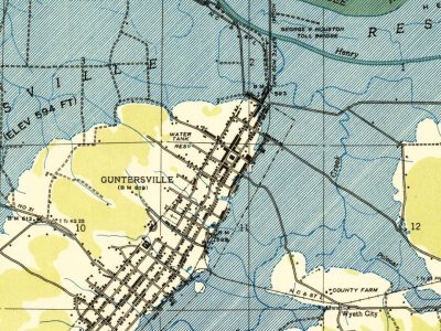
Hamlets and corners on the map
Country Club EstatesCrossroadsGuntersville ShoresHide Away AcresLakeviewLindsay LaneLittle New YorkMeadow WoodMill VillageMorrow AcresMountain ViewRayburnSouthtownSunrise ShoresWyeth City
Gone or out of use
Crossroads SchoolschoolGuntersville FerrycrossingKing ChapelschoolLovelace LandinglocaleMarshall County FarmlocaleMarshall County High SchoolschoolSmith Landing FieldairportTown Creek Ferrycrossing
8cemeteries and burying grounds inside Guntersville
BethlehemCoxCrestviewGuntersville CityHappy Home ChurchKing ChapelKirbyRehobeth
US Post Offices dataset (Blevins & Helbock, CC0). Places and cemeteries from the USGS Geographic Names Information System (2021).
On the National Register
7 listings protect 62 historic buildings
The country’s official list of buildings and places worth saving.
Guntersville was founded by John Gunter (1765–1835), the great-grandfather of American humorist Will Rogers. Gunter's own great-great-grandfather, of Welsh-English descent, had emigrated to the New World in 1644. Gunter was the wealthy owner of a salt mine in the early 19th century. In order to obtain more land to mine, Gunter struck a deal with the Cherokee tribe that inhabited the area to use in his household as servants. As part of the deal, Gunter married the daughter (Ghe-No-He-Li, aka Katy and Cathrine) of the tribe's chief (Chief Bushyhead of the Paint Clan) and agreed to give salt to the tribe. A town sprung up next to the mine and was named after Gunter. The town of Guntersville puts on a festival every July to celebrate Will Rogers, which involves many activities which were of interest to Rogers.
Nothing in the archives for these yearsWeddings on Main Street, storms, parades, school pictures, the old store. If it’s in your family album, it belongs here.
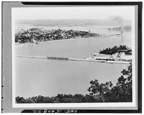
In 1765, according to Wikipedia’s history of the town. Guntersville’s post office opened in 1835, and the census of 1870 counted 244 people here.
How does Guntersville rank for history?
Guntersville is more historic than 58% of U.S. towns, #54 of 187 in Alabama. The History grade combines the town’s founding era, the share of homes built before 1940 and its National Register listings. It’s a character grade, so it isn’t part of the overall grade. How it works.
What is on the National Register in Guntersville?
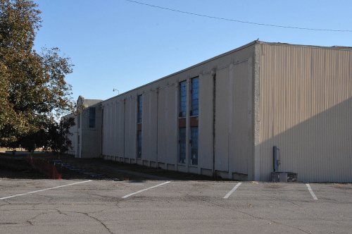
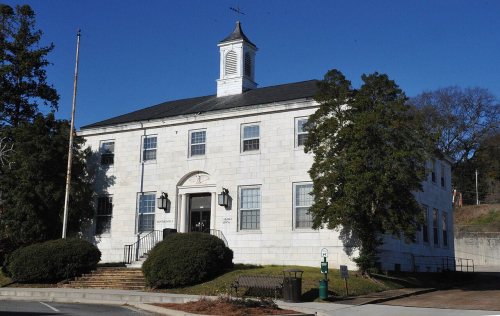
7 listings: 6 buildings, among them the Henry-Jordan House (listed 1979, the first), and 1 historic district, the Downtown Guntersville Historic District, with 56 contributing buildings. 62 historic buildings in all.
How old are the homes in Guntersville?
4% of Guntersville’s homes were built before 1940 (Census estimate, ±1.0 points), against a typical 3.2% for an Alabama town; the median home was built in 1980.
Founding dates: Wikidata, Wikipedia, the U.S. post office records of Blevins & Helbock (CC0) and the Census. Homes by year built: Census ACS 2020–24. National Register of Historic Places: National Park Service (list of May 22, 2026). Old photos, postcards and papers: Wikimedia Commons, the Library of Congress and other public archives, credited on each item’s page. Maps: U.S. Geological Survey historical topographic maps (via Esri) and Sanborn fire-insurance maps (Library of Congress). History text and census tables: Wikipedia (CC BY-SA 4.0). Places that used to be: USGS Geographic Names Information System (2021).
From Wikimedia Commons (19), the Library of Congress (10), the National Register of Historic Places (7), Wikipedia, Wikidata and Wikipedia for famous people, U.S. Geological Survey historical maps, U.S. Census counts (via Wikipedia), the US Post Offices dataset (Blevins & Helbock), the USGS Geographic Names Information System and Sanborn fire insurance maps (Library of Congress). Archive images are copied here with their credits and licenses, shown on each photo’s page. Refreshed monthly.









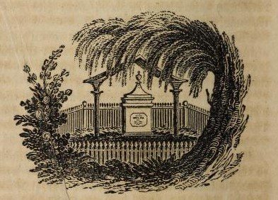 1832
 1880
 1880
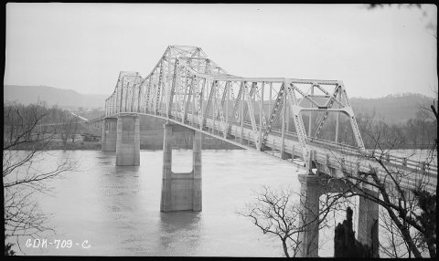 1937
 2010
 2010
 2010
 2010
 2010
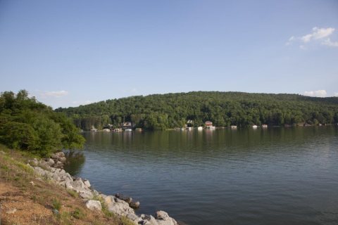 2010
 2010
 2010
 2010
 2010
 2010
 2010
 2010
 2010
 2010
 2010
 2010
 2010
 2009