Faunsdale’s post office opened in 1841, and 27% of its homes were built before 1940
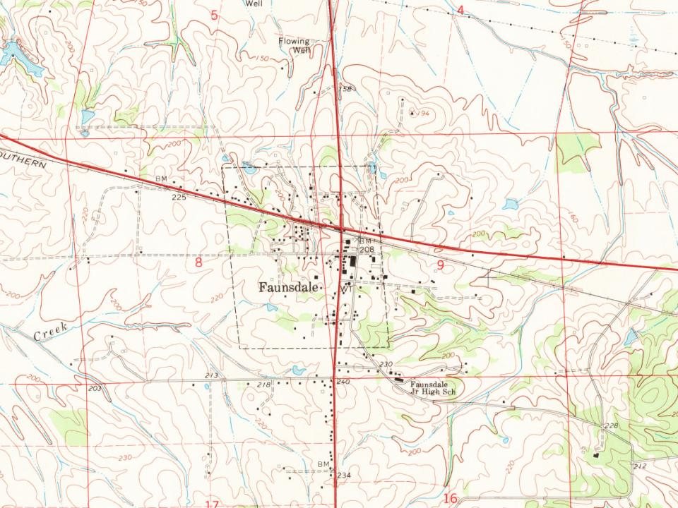
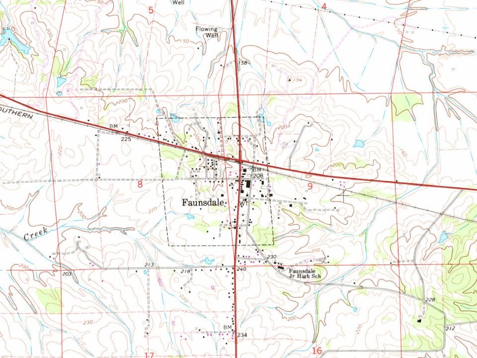
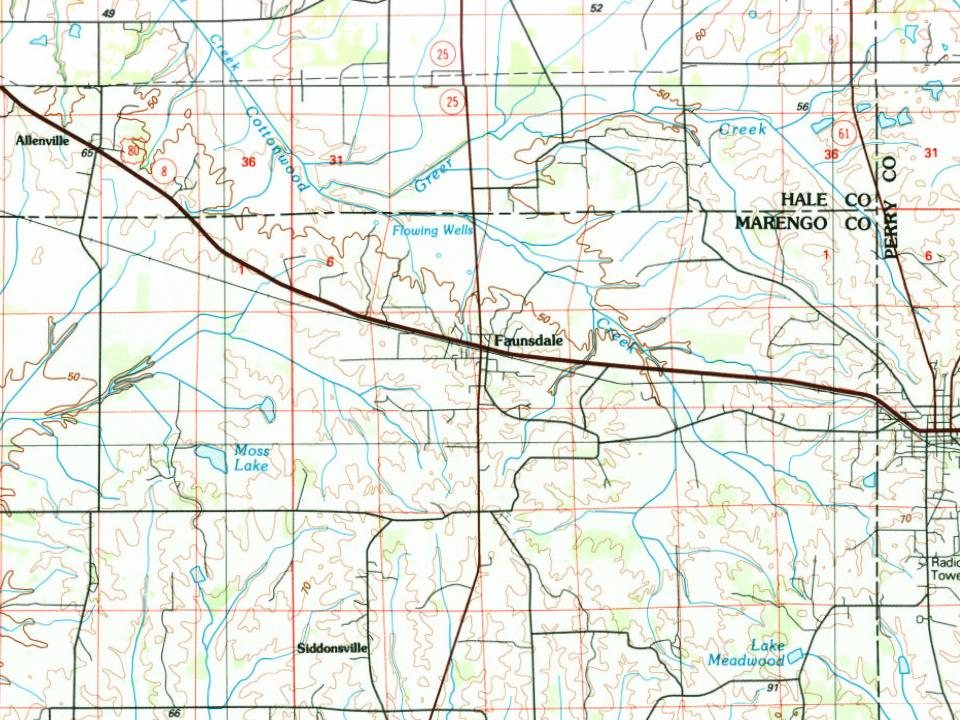
1 place in town is on the National Register, among them a historic district with 2 buildings. Below: 12 old photos and papers, maps from 1968 on, and the census since 1890.
Nothing in the archives for these yearsWeddings on Main Street, storms, parades, school pictures, the old store. If it’s in your family album, it belongs here.
Nothing in the archives for these yearsWeddings on Main Street, storms, parades, school pictures, the old store. If it’s in your family album, it belongs here.
A post office called Faunsdale has been in operation since 1841. The town was named for nearby Faunsdale Plantation, named after a Roman god and owned since 1843 by Dr. Thomas Alexander Harrison. The town was named in his honor.
The plantation had been founded in the 1830s by Messrs Pearson and Henry Augustine Tayloe. The latter was also the local land agent for his older brothers Benjamin Ogle Tayloe, William Henry Tayloe, Edward Thornton Tayloe, and George Plater Tayloe, who all invested some of their great wealth in several plantations in this area. A 20th-century historian said they were "considered the most important pioneer cotton planters of the Canebrake, as to the extent of their enterprise there."
Founding dates: Wikidata, Wikipedia, the U.S. post office records of Blevins & Helbock (CC0) and the Census. Homes by year built: Census ACS 2020–24. National Register of Historic Places: National Park Service (list of May 22, 2026). Old photos, postcards and papers: Wikimedia Commons, the Library of Congress and other public archives, credited on each item’s page. Maps: U.S. Geological Survey historical topographic maps (via Esri) and Sanborn fire-insurance maps (Library of Congress). History text and census tables: Wikipedia (CC BY-SA 4.0). Places that used to be: USGS Geographic Names Information System (2021). How TownRatings grades history →
From Wikimedia Commons (12), the National Register of Historic Places (1), Wikipedia, U.S. Geological Survey historical maps, U.S. Census counts (via Wikipedia), the US Post Offices dataset (Blevins & Helbock) and the USGS Geographic Names Information System. Archive images are copied here with their credits and licenses, shown on each photo’s page. Refreshed monthly.


 1880
 1933
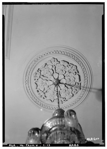 1933
 1933
 1933
 1933
 1933
 1933
 1933
 1933
 1933
 1933