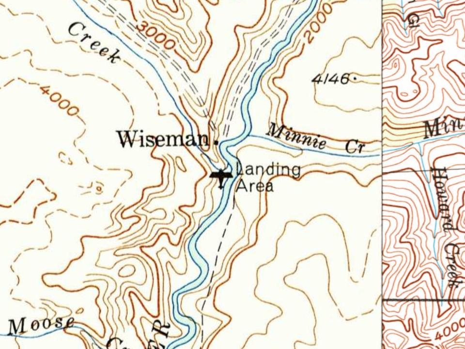
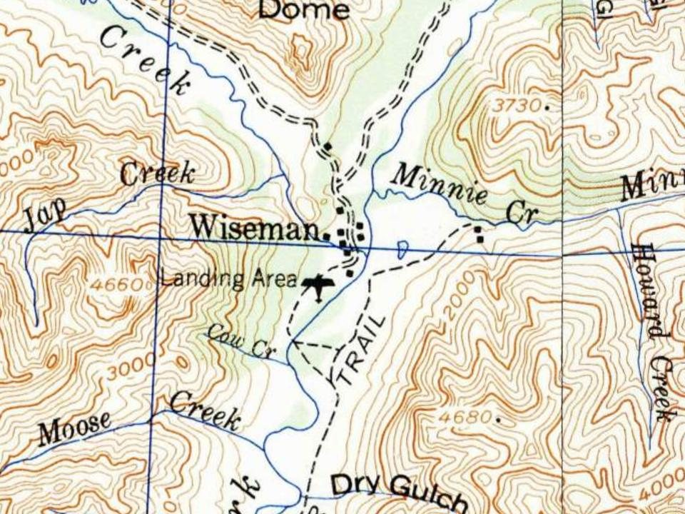
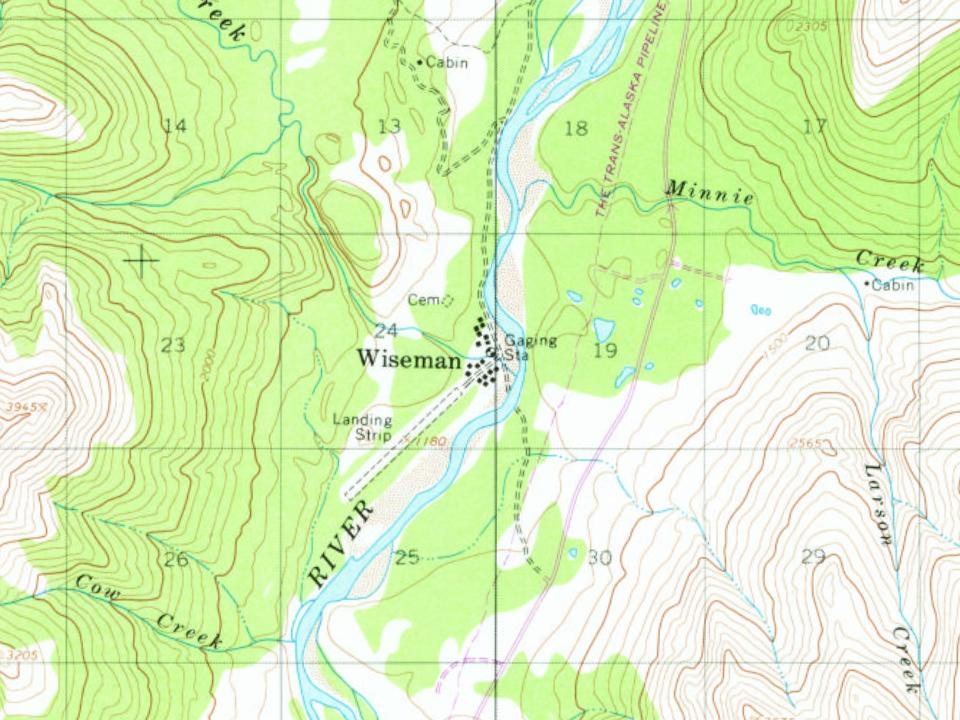
Most of Wiseman was built recently: 0.0% of its homes predate 1940 and the median home dates from 1990. Below: 6 old photos and papers, maps from 1951 on, and the census since 1930.
Wikipedia doesn’t have a history of Wiseman yet. The photos, dates and memories neighbors add here are how it gets written.
Wiseman is a census-designated place (CDP) in Yukon-Koyukuk Census Area, Alaska, United States. The full time resident population is 12 as of 2022. Wiseman is a small mining community along the Middle Fork Koyukuk River in the Brooks Range. It was founded by gold miners who abandoned the Slate Creek (later Coldfoot) settlement around 1908. Another small mining village (Nolan, on Nolan creek - to the north) survived into the 1970s. Robert Marshall, who became a prominent American forester, preservation activist, and a co-founder of The Wilderness Society, wrote the bestselling book, Arctic Village, about his 15-month stay in this frontier town around the year 1930. Marshall described Wiseman…
Wiseman was established in 1908. Between the 2010 and 2020 censuses its population fell from 14 to 5 (-64%).
Intro from Wikipedia. Population: U.S. Census Bureau.
Timeline
Wiseman, 1908 to 1956
Woven from the archive, old maps, post office records, the National Register and the people born here.
Founding dates: Wikidata, Wikipedia, the U.S. post office records of Blevins & Helbock (CC0) and the Census. Homes by year built: Census ACS 2020–24. National Register of Historic Places: National Park Service (list of May 22, 2026). Old photos, postcards and papers: Wikimedia Commons, the Library of Congress and other public archives, credited on each item’s page. Maps: U.S. Geological Survey historical topographic maps (via Esri) and Sanborn fire-insurance maps (Library of Congress). History text and census tables: Wikipedia (CC BY-SA 4.0). Places that used to be: USGS Geographic Names Information System (2021). How TownRatings grades history →
From the Library of Congress (6), U.S. Geological Survey historical maps, U.S. Census counts (via Wikipedia), the US Post Offices dataset (Blevins & Helbock) and the USGS Geographic Names Information System. Archive images are copied here with their credits and licenses, shown on each photo’s page. Refreshed monthly.


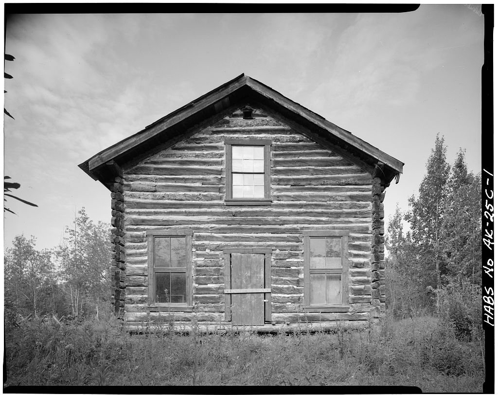


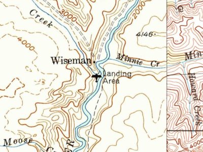
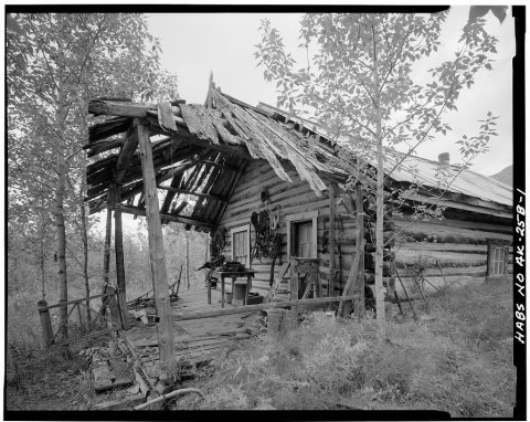 Date?
 Date?
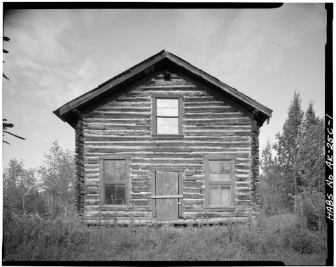 Date?
 Date?
 Date?
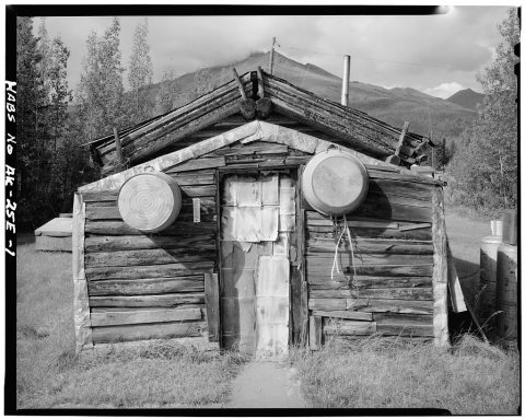 Date?