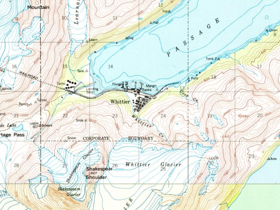
Most of Whittier was built recently: 1% of its homes predate 1940 and the median home dates from 1954. Below: 5 old photos and papers, maps from 1951 on, and the census since 1950.
The region occupied by Whittier was once part of the portage route of the Chugach people native to Prince William Sound. Later, the passage was used by Russian and American explorers, and by prospecting miners during the Klondike Gold Rush. The nearby Whittier Glacier was named for American poet John Greenleaf Whittier in 1915, and the town eventually took the name as well.
During World War II, the United States Army constructed a military facility, complete with port and railroad, near Whittier Glacier and named the facility Camp Sullivan. The spur of the Alaska Railroad to Camp Sullivan was completed in 1943, and the port became the entrance for United States soldiers into Alaska.
Nothing in the archives for these yearsWeddings on Main Street, storms, parades, school pictures, the old store. If it’s in your family album, it belongs here.
Founding dates: Wikidata, Wikipedia, the U.S. post office records of Blevins & Helbock (CC0) and the Census. Homes by year built: Census ACS 2020–24. National Register of Historic Places: National Park Service (list of May 22, 2026). Old photos, postcards and papers: Wikimedia Commons, the Library of Congress and other public archives, credited on each item’s page. Maps: U.S. Geological Survey historical topographic maps (via Esri) and Sanborn fire-insurance maps (Library of Congress). History text and census tables: Wikipedia (CC BY-SA 4.0). Places that used to be: USGS Geographic Names Information System (2021). How TownRatings grades history →
From Wikimedia Commons (10), the Library of Congress (2), Wikipedia, U.S. Geological Survey historical maps, U.S. Census counts (via Wikipedia), the US Post Offices dataset (Blevins & Helbock) and the USGS Geographic Names Information System. Archive images are copied here with their credits and licenses, shown on each photo’s page. Refreshed monthly.




 1957
 1957
 2005
 2004
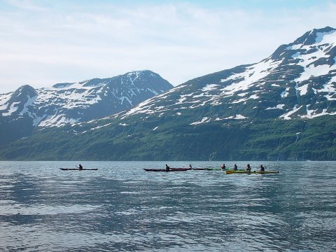 2004
 2004
 2004
 2004
 2003