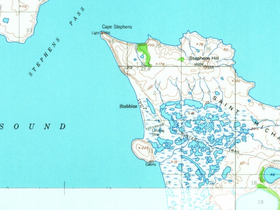
Most of Stebbins was built recently: 0.0% of its homes predate 1940 and the median home dates from 1993. Below: maps from 1952 on and the census since 1940.
A Russian fort, Redoubt St. Michael, was built at nearby St. Michael by the Russian-American Company in 1833. The name Stebbins was first recorded in 1900; the Yupik name for the village is Tapraq. The first census in the area, in 1950, listed 80 Yupiks residing in Stebbins. The city was incorporated in 1969.
The Stebbins economy depends on commercial fishing, for herring and other fish, and subsistence fishing, gardening and hunting, supplemented by part-time wage earnings. Hunting is for seal, walrus, caribou, and beluga whale. The city government, medical clinic and school of about 200 students provide the only full-time positions.
Founding dates: Wikidata, Wikipedia, the U.S. post office records of Blevins & Helbock (CC0) and the Census. Homes by year built: Census ACS 2020–24. National Register of Historic Places: National Park Service (list of May 22, 2026). Old photos, postcards and papers: Wikimedia Commons, the Library of Congress and other public archives, credited on each item’s page. Maps: U.S. Geological Survey historical topographic maps (via Esri) and Sanborn fire-insurance maps (Library of Congress). History text and census tables: Wikipedia (CC BY-SA 4.0). Places that used to be: USGS Geographic Names Information System (2021). How TownRatings grades history →
From Wikipedia, U.S. Geological Survey historical maps, U.S. Census counts (via Wikipedia), the US Post Offices dataset (Blevins & Helbock) and the USGS Geographic Names Information System. Archive images are copied here with their credits and licenses, shown on each photo’s page. Refreshed monthly.