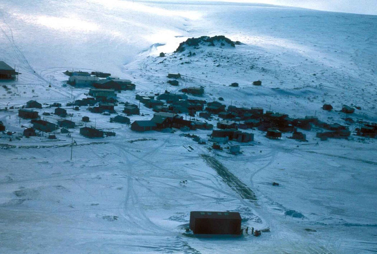
 Photo: AnnWieland · Public domain
Few parks or trails are on the map in Scammon Bay
2% of Scammon Bay’s land is conserved, about 6 acres. 0.5 miles of mapped trail cross Scammon Bay, 1.1 per square mile of land.
Conserved land, trails & bike routes
Tap a number to zoom to a park. Tap a layer to hide it.
6 conserved acres
2% of Scammon Bay’s land. Who manages Scammon Bay’s conserved land, from the USGS Protected Areas Database. Approximate, because parcels can overlap.
| Parcel (PAD-US) | Managed by | Acres | Public access |
|---|---|---|---|
| Yukon Delta National Wildlife Refuge National Wildlife Refuge | U.S. Fish and Wildlife Service | 13 | Restricted |
Questions about parks and trails in Scammon Bay
Trail talk
Conditions, parking and favorite walks from Scammon Bay neighbors.
Where this page comes from
Conserved and public land: USGS Protected Areas Database of the United States (PAD-US), service updated July 2026. Parks, trails, playgrounds, beaches and other places: OpenStreetMap (© OpenStreetMap contributors, ODbL), map data as of 2026-10-28. Land and water area: Census 2025 Gazetteer. Residents near a park: 2020 Census blocks. National Register: National Park Service. How TownRatings grades the outdoors →