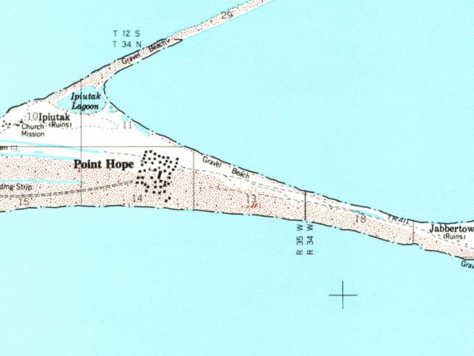
Point Hope was first counted by the census in 1880
Most of Point Hope was built recently: 0.0% of its homes predate 1940 and the median home dates from 1982. Below: 10 old photos and papers, maps from 1952 on, and the census since 1880.
The descriptive Inuit name of the place, "Tikarakh" or "Tikiġaq", commonly spelled "Tiagara", means "forefinger". It was recorded as "Tiekagagmiut" in 1861 by P. Tikhmeniev Wich of the Russian Hydrographic Department and on Russian Chart 1495 it became "Tiekaga". This ancient village site was advantageous, because the protrusion of Point Hope into the sea brought the whales close to the shore. At Tikigaq, they built semi-subterranean houses using mainly whalebone and driftwood. Point Hope is one of the oldest continually occupied sites in North America. While some of the earlier dwellings have been lost to erosion as the point shrinks, it still provides valuable information to archaeologists on how early Eskimos survived in their harsh environment. The Tikigaq site according to Helge Larsen is, "by far the most extensive and complete one-period site yet discovered and described in the …
Nothing in the archives for these yearsWeddings on Main Street, storms, parades, school pictures, the old store. If it’s in your family album, it belongs here.
Nothing in the archives for these yearsWeddings on Main Street, storms, parades, school pictures, the old store. If it’s in your family album, it belongs here.
Founding dates: Wikidata, Wikipedia, the U.S. post office records of Blevins & Helbock (CC0) and the Census. Homes by year built: Census ACS 2020–24. National Register of Historic Places: National Park Service (list of May 22, 2026). Old photos, postcards and papers: Wikimedia Commons, the Library of Congress and other public archives, credited on each item’s page. Maps: U.S. Geological Survey historical topographic maps (via Esri) and Sanborn fire-insurance maps (Library of Congress). History text and census tables: Wikipedia (CC BY-SA 4.0). Places that used to be: USGS Geographic Names Information System (2021). How TownRatings grades history →
From Wikimedia Commons (12), Wikipedia, Wikidata and Wikipedia for famous people, U.S. Geological Survey historical maps, U.S. Census counts (via Wikipedia), the US Post Offices dataset (Blevins & Helbock) and the USGS Geographic Names Information System. Archive images are copied here with their credits and licenses, shown on each photo’s page. Refreshed monthly.




 1899
 1899
 1899
 1899
 1972
 2007
 2004