Guest, Sign inJoin

Post to Livengood

We’ll email a one-tap link to publish your post. No password, and nothing is public until you click it.
Already a member? Sign in
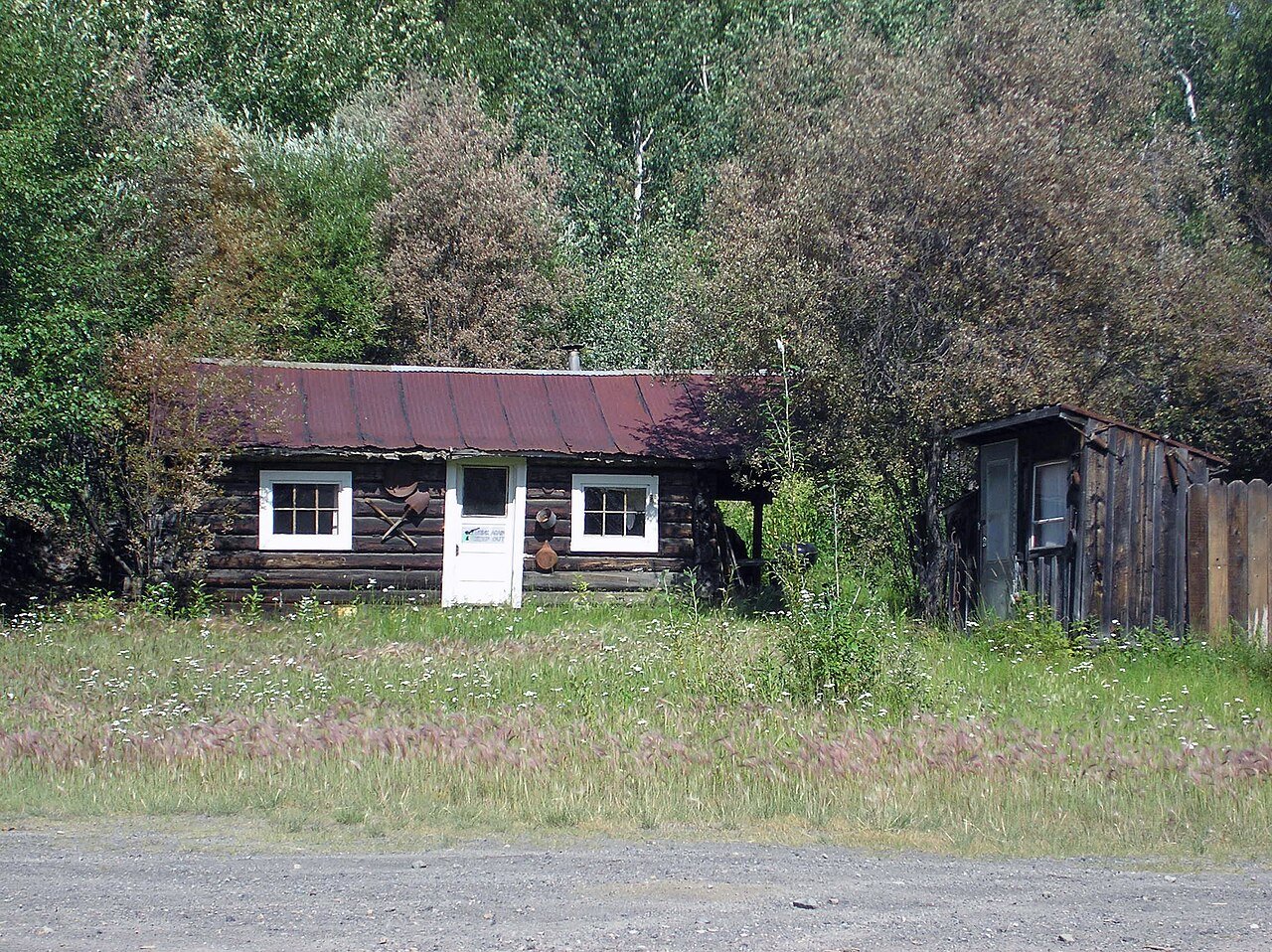
Downtown Livengood, Alaska
Alaska›Yukon-Koyukuk Census Area

LivengoodAK

A town in Alaska.

Photo: JKBrooks85 · Public domain
Photo of Livengood

Livengood, AK · Photo: JKBrooks85 · Public domain · Source ↗

Land area
266 sq mi

Is Livengood a good place to live?

88% of the land in Livengood is conserved, above both Alaska’s towns (15%) and U.S. towns (4.3%). The biggest park or preserve is Tanana Valley State Forest, at 80 acres. We don’t grade Livengood yet; the figures below are still real.

Gold mining operation
Gold mining operation, 1899
Livengood’s story

111 years in pictures

Census counts: 131 in 1920, a peak of 153 in 1940, 16 in 2020. The archive holds 6 old photos and papers going back to 1899 and 2 maps from 1952 on.

  • 1915Livengood is settled
Explore the history →
Getting set up

Moving to Livengood: who provides what

Livengood is unincorporated, so Yukon-Koyukuk Census Area and regional agencies provide most services.

PowerAlaska Village Elec Coop65.9¢/kWh · EIA 2025HIFLD · EIA
InternetProviders and speedsData pending · D4
Trash & county servicesYukon-Koyukuk Census AreaYukon-Koyukuk Census Area provides services here
SchoolsYukon Flats School DistrictWhich school depends on your addressNCES
Register to voteOnlineIn Alaska you can register online until 30 days before Election Day, in person until 30 days before Election Day, or by mail (received 30 days before).vote.gov
Who runs elections hereAbsentee and Petition OfficeState of Alaska; contacts on the Handbook page.FVAP, Jun 2025
ZIP code9979099790 94%Census 2020

EPA SDWIS (Oct 9, 2026) · HIFLD + EIA-861 2025 · Census 2020 ZCTAs · NCES 2024–25 · registration: vote.gov, updated Sep 30, 2026.
The data

Ordered by what stands out in Livengood.

Outdoors

nearly a third of the land in Livengood is protected from building

Count the trails in 1 park or preserve and they come to 51 miles. Livengood’s density of trails is put at 0.2 miles per square mile.

87.6%conserved
87.6%
conserved · 147,157 of 167,941 acres
51 mi
of trails · 0.2 per sq mi
Biggest places to walkTrailsAcres
1. Tanana Valley State Forest—80

Trails & parks © OpenStreetMap contributors · Conserved land: USGS PAD-US

Natural hazards

High risk in Livengood, with cold waves at the top

In Livengood, the risk rating from FEMA is 61 of 100. Expected losses in Livengood break down as 69% from cold waves and 10% from avalanches.

61risk score of 100
FEMA risk score
61High riskLowerHigher
Cold wavesAvalanchesWildfire

FEMA National Risk Index · OpenFEMA

Keep exploring

Everything we know about Livengood

10pages on Livengood
After high school

Colleges nearby

None within 15 miles of Livengood; the nearest are

About Livengood

CDP in Alaska, United States

Livengood is a census-designated place (CDP) in Yukon-Koyukuk Census Area, Alaska, United States. The population was 16 at the 2020 census, compared to 13 in 2010 and 29 in 2000.

From Wikipedia, licensed CC BY-SA 4.0 · facts via Wikidata (CC0)

Area
266 sq mi
Elevation
696 ft

Questions about Livengood

Short answers, built from the data on this page.

Is Livengood, AK a good place to live?

We don’t grade Livengood yet; the figures below are still real. A town in Alaska.