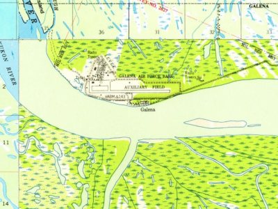
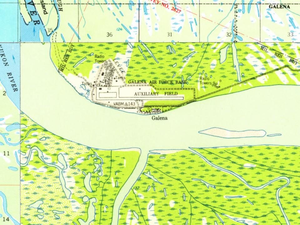
Most of Galena was built recently: 0.0% of its homes predate 1940 and the median home dates from 1985. Below: 12 old photos and papers, maps from 1952 on, and the census since 1890.
Nothing in the archives for these yearsWeddings on Main Street, storms, parades, school pictures, the old store. If it’s in your family album, it belongs here.
The Koyukon Athabascans had seasonal camps in the area and moved as the wild game migrated. In the summer many families floated on rafts to the Yukon River to fish for salmon. There were 12 summer fish camps located on the Yukon River between the Koyukuk River and the Nowitna River. Galena was established in 1920 near an Athabascan fish camp called Henry's Point. It became a supply and point for nearby lead ore mines that opened in 1918 and 1919, and from which Galena takes its name.
Founding dates: Wikidata, Wikipedia, the U.S. post office records of Blevins & Helbock (CC0) and the Census. Homes by year built: Census ACS 2020–24. National Register of Historic Places: National Park Service (list of May 22, 2026). Old photos, postcards and papers: Wikimedia Commons, the Library of Congress and other public archives, credited on each item’s page. Maps: U.S. Geological Survey historical topographic maps (via Esri) and Sanborn fire-insurance maps (Library of Congress). History text and census tables: Wikipedia (CC BY-SA 4.0). Places that used to be: USGS Geographic Names Information System (2021). How TownRatings grades history →
From Wikimedia Commons (12), Wikipedia, U.S. Geological Survey historical maps, U.S. Census counts (via Wikipedia), the US Post Offices dataset (Blevins & Helbock) and the USGS Geographic Names Information System. Archive images are copied here with their credits and licenses, shown on each photo’s page. Refreshed monthly.
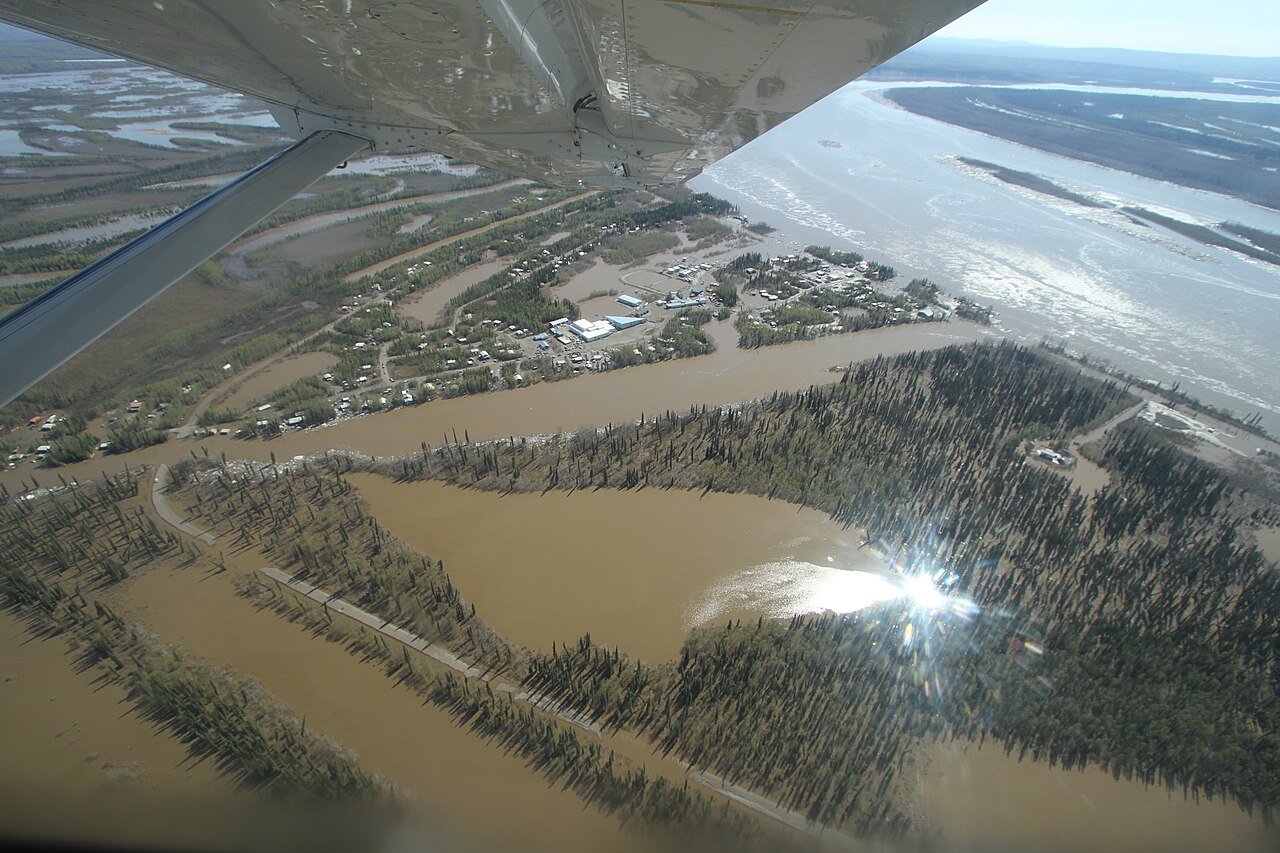


 1917
 1917
 1917
 1917
 1917
 1945
 1945
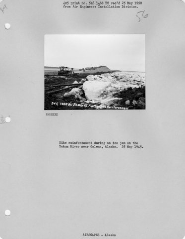 1945
 1978
 1982
 1986
 1989