Guest, Sign inJoin

Post to Chefornak

We’ll email a one-tap link to publish your post. No password, and nothing is public until you click it.
Already a member? Sign in
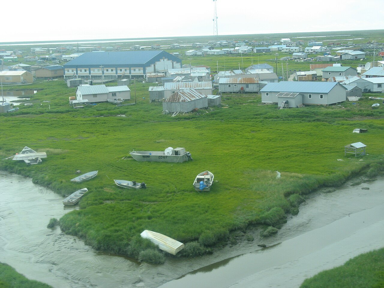
Chefornak (9703826823)Photo: Andrea Pokrzywinski from Cheqamegon National Forest, USA · CC BY 2.0
–Not graded
Outdoors in Chefornak

Few parks or trails are on the map in Chefornak

20% of Chefornak’s land is conserved, about 658 acres.

Conserved land
20%
658 acres · of 5.2 sq mi of land
Trails
0.0 mi
0.0 per sq mi of land
Near a park
under 1%
of residents within ½ mile
Lakes & rivers
1
The map

Conserved land, trails & bike routes

Tap a number to zoom to a park. Tap a layer to hide it.

Easements protect land from building but are usually private.© OpenStreetMap contributors · USGS PAD-US
Who protects it

658 conserved acres

20% of Chefornak’s land. Water is left out: Chefornak has 5.2 square miles of land and 0.8 of water, so the share counts land only. Who manages Chefornak’s conserved land, from the USGS Protected Areas Database. Approximate, because parcels can overlap.

U.S. Fish and Wildlife Service1,311 ac
National Wildlife Refuge · 1,311 ac
The biggest protected parcels
Parcel (PAD-US)Managed byAcresPublic access
Yukon Delta National Wildlife Refuge
National Wildlife Refuge
U.S. Fish and Wildlife Service1,311Restricted
Things to do

1 places to go in Chefornak

Beaches, playgrounds, peaks, falls and more. Pick a kind.

Playgrounds in Chefornak

1 playground without a name on the map. Tap “Show all on map” to see it.

Trails & water

1 lakes & rivers

Lakes & rivers tap for directions
Biking & sports

0.0 miles of bike routes

Bike lanes are often missing from the map in smaller towns, so that number is likely low.

Courts & fields
1Basketball

Includes school and college facilities, which aren’t always open to the public.

Questions about parks and trails in Chefornak

Trail talk

Conditions, parking and favorite walks from Chefornak neighbors.

Town Square →
Share a tip
Sources

Where this page comes from

Conserved and public land: USGS Protected Areas Database of the United States (PAD-US), service updated July 2026. Parks, trails, playgrounds, beaches and other places: OpenStreetMap (© OpenStreetMap contributors, ODbL), map data as of 2026-10-28. Land and water area: Census 2025 Gazetteer. Residents near a park: 2020 Census blocks. National Register: National Park Service. How TownRatings grades the outdoors →