204 years in pictures
Census counts: 140 in 1870, 1,631 in 2020. The archive holds 12 old photos and papers and 4 maps from 1907 on.
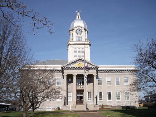
3 places on the National Register of Historic Places.
- 1822Harrisville is laid out
Each edition grades its towns against each other only.

A town of 1,511, laid out in 1822.
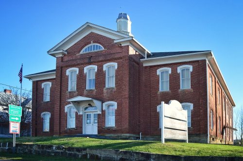
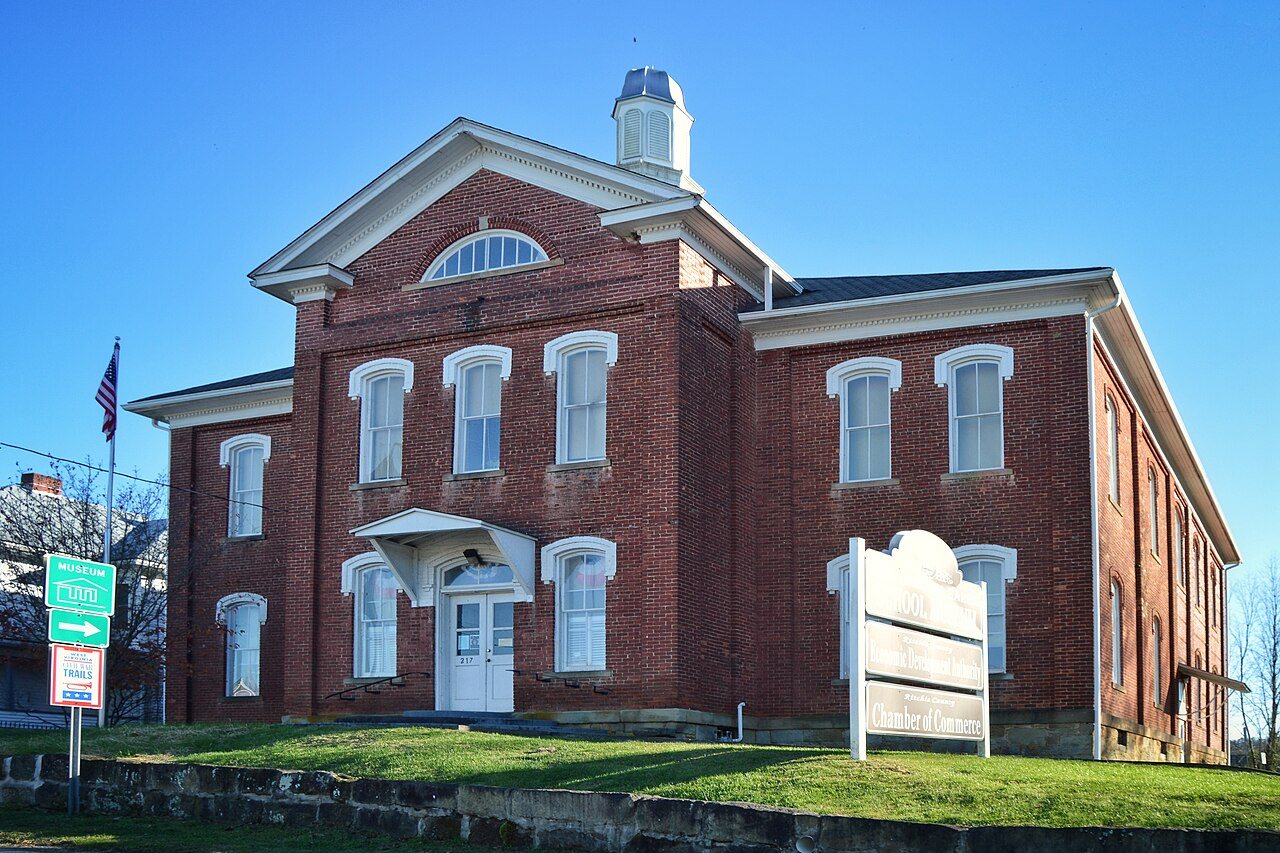
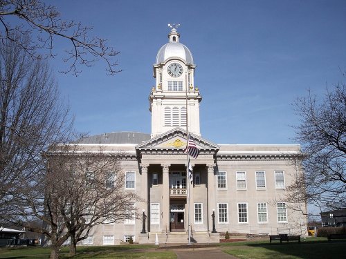
The best of Harrisville’s subject grades are an A+ for cost of living and an A for schools and history; the weakest is a D− for health. 25% of residents live below the poverty line in Harrisville, where West Virginia’s towns sit at 16% and U.S. towns at 9.6%. The median household income is $48K, and 25% of residents live below the poverty line. Among 62 West Virginia towns, just 4 have a lower median rent than Harrisville. Harrisville's civic life (library use, community groups, volunteering) is stronger than in 91% of U.S. towns. Harrisville has 3 places on the National Register of Historic Places, among them Harrisville Grade School and Ritchie County Courthouse. Harrisville has fewer than 2,500 residents, so it gets subject grades but no overall grade.
Where Harrisville beats most towns, and one thing worth knowing.
Harrisville Grade School1,876 counted in 2010 and 1,631 in 2020; an estimated 1,511 in 2025.
U.S. Census 2010 & 2020 counts · Census Bureau estimate, July 1, 2025
Each subject compared with towns across the country (schools within West Virginia), ordered by how far Harrisville is from typical.
How TownRatings grades towns →
Census counts: 140 in 1870, 1,631 in 2020. The archive holds 12 old photos and papers and 4 maps from 1907 on.
3 places on the National Register of Historic Places.
Who provides power, water and the rest in Harrisville, and how to reach them.
EPA SDWIS (Oct 9, 2026) · HIFLD + EIA-861 2025 · Census 2020 ZCTAs · NCES 2024–25 · registration: vote.gov, updated Aug 3, 2026.
Ordered by what stands out in Harrisville.
Harrisville beats the West Virginia average on 1 of 32 CDC measures and trails it on 11. 20% of Harrisville adults report frequent physical distress, against 17% in West Virginia’s towns and 14% across U.S. towns. 40% of Harrisville adults get no exercise outside work.
| Harrisville | West Virginia towns | U.S. towns | |
|---|---|---|---|
| Frequent physical distress (CDC PLACES) | 20% | 17% | 14% |
| Get no exercise (CDC PLACES) | 40% | 32% | 25% |
| Diabetes (CDC PLACES) | 19% | 16% | 12% |
| Smoke cigarettes (CDC PLACES) | 23% | 18% | 14% |
| What stands out | Harrisville | WV |
|---|---|---|
| More adults treating high blood pressure | 82.7% | 79.5% |
| More older adults who have lost all their teeth | 37% | 19.5% |
CDC PLACES 2025 · modeled estimates for adults · CMS · HRSA
Its public schools are run by the Ritchie County Schools. Its one school is below.
| School | Level | Students | Letter |
|---|---|---|---|
| Harrisville ElementaryLargest public elementary schoolGrades PK–4 | Grades PK–4 | 201 | A− |
NCES · EDFacts · graded within WV on state tests and graduation
The typical Harrisville home is worth about $124,000, down 0.6% in a year, 30% below the West Virginia typical home. 77% of households own their home in Harrisville.
Census ACS, 2020–24 · Zillow Home Value Index · Redfin Data Center
Harrisville has chilly winters and warm summers. July afternoons reach 86°, January nights drop to 22° and about 24 inches of snow falls in a winter.
NOAA U.S. Climate Normals, 1991–2020
Expected storm and flood damage is higher than in 67% of U.S. communities.
FEMA National Risk Index · OpenFEMA
Most working residents leave Harrisville for work: only 18% work in town. Jobs based in Harrisville fell to 805 in 2023, 142 fewer than in 2013. The average trip to work in Harrisville is 26 minutes.
| Harrisville | West Virginia towns | U.S. towns | |
|---|---|---|---|
| Working residents who work in town | 18% | 14% | 8% |
| Median household income | $48,000 | $59,000 | $80,000 |
| Average trip to work | 26 minutes | 21 minutes | 25 minutes |
Census LEHD 2023 · ACS
Children under 18 are 25% of residents (20% statewide); adults 18 to 34 are 17% of residents (21% statewide). Harrisville has lost 7.2% of its people since 2020, down to 1,511 in the Census Bureau’s 2025 estimate.
| Harrisville | West Virginia towns | U.S. towns | |
|---|---|---|---|
| Bachelor’s degree or more, 25+ | 18% | 29% | 29% |
| Median age | 42.9 years | 42.2 years | 40.5 years |
| Aged 65 or older | 20% | 21% | 18% |
58.7% women, 41.3% men
About 70 men for every 100 women. Across West Virginia, 50.1% of residents are women.
| Harrisville | WV | U.S. | |
|---|---|---|---|
| Under 10 | 13.3% | 10.3% | 11.6% |
| 10 to 17 | 11.5% | 9.7% | 10.3% |
| 18 to 24 | 6.9% | 8.8% | 9.1% |
| 25 to 34 | 9.8% | 12% | 13.7% |
| 35 to 44 | 11.9% | 12% | 13.2% |
| 45 to 54 | 12.8% | 12.6% | 12.2% |
| 55 to 64 | 13.3% | 13.6% | 12.7% |
| 65 to 74 | 10.4% | 12.6% | 10.2% |
| 75 and older | 10% | 8.4% | 7% |
| No diploma | 7.1% | 10.7% | 10.4% |
| High school | 44% | 39.3% | 26% |
| Some college | 20.1% | 17.5% | 19.1% |
| Associate’s | 10.8% | 8.4% | 8.8% |
| Bachelor’s | 11.2% | 14.4% | 21.6% |
| Graduate | 6.8% | 9.7% | 14.1% |
Census population estimates, 2025 · U.S. Census Bureau · ACS 2020-2024 5-year estimates · in a town of 1,500, single groups can be off by several points
0.0 miles of trail in 1 park or preserve.
| Biggest places to walk | Trails | Acres |
|---|---|---|
| 1. Harrisville City Park | — | 8 |
Trails & parks © OpenStreetMap contributors · Conserved land: USGS PAD-US
None within 15 miles of Harrisville; the nearest are
About 4 of every 100 Harrisville residents are enrolled in college, about the same as West Virginia.
3 places in Harrisville on the National Register of Historic Places.
Town in West Virginia, United States
Harrisville is a town and the county seat of Ritchie County, West Virginia, United States. As of the 2020 census, Harrisville had a population of 1,631. Harrisville is located at the junction of State Routes 31 and 16, five miles south of U.S. 50. Within the community are an elementary school, the county board of education, many businesses, three banks, a library, offices of the Ritchie Gazette and The Pennsboro News, a municipal park, and North Bend Golf Course. North Bend Lake and North Bend State Park are located just outside town limits. Municipal elections are held every two years.
From Wikipedia, licensed CC BY-SA 4.0 · facts via Wikidata (CC0)