93 years in pictures
The archive holds 6 old photos and papers going back to 1930.
1 place on the National Register of Historic Places.
- 1933Arthurdale is founded
Each edition grades its towns against each other only.

A town of 982, founded in 1933.
Of the 62 West Virginia towns we compare, none has a higher share of households owning their home than Arthurdale. 15% of the land in Arthurdale is conserved, above both West Virginia’s towns (2.5%) and U.S. towns (4.3%). Col. Thomas Brown House and Arthurdale Historic District is on the National Register of Historic Places. Arthurdale has fewer than 1,000 residents, too few for fair grades; the figures below are still real.
In a town this size, neighbors are the best guide. Ask them anything.
The archive holds 6 old photos and papers going back to 1930.
1 place on the National Register of Historic Places.
Arthurdale is unincorporated, so Preston County and regional agencies provide most services.
EPA SDWIS (Oct 9, 2026) · HIFLD + EIA-861 2025 · Census 2020 ZCTAs · NCES 2024–25 · registration: vote.gov, updated Aug 3, 2026.
Ordered by what stands out in Arthurdale.
Expected storm and flood damage is lower than in 81% of U.S. communities.
FEMA National Risk Index · OpenFEMA
Its public schools are run by the Preston County Schools. Its one school is below.
| School | Level | Students | Letter |
|---|---|---|---|
| West Preston SchoolLargest public elementary schoolGrades PK–8 | Grades PK–8 | 604 | D |
NCES · EDFacts
Adults 35 to 64 are 47% of residents (38% statewide); people 65 and older are 13% of residents (21% statewide). 20% of adults 25 and older hold a bachelor’s degree or more in Arthurdale, against 29% in West Virginia’s towns and 29% across U.S. towns. 18% of residents are under 18 in Arthurdale.
| Arthurdale | West Virginia towns | U.S. towns | |
|---|---|---|---|
| Under 18 | 18% | 20% | 22% |
| Bachelor’s degree or more, 25+ | 20% | 29% | 29% |
| Median age | 45 years | 42.2 years | 40.5 years |
47% women, 53% men
About 111 men for every 100 women (the survey’s margin: ±2.5 points). Across West Virginia, 50.1% of residents are women.
| Arthurdale | WV | U.S. | |
|---|---|---|---|
| Under 10 | 6.7% | 10.3% | 11.6% |
| 10 to 17 | 11.2% | 9.7% | 10.3% |
| 18 to 24 | 14.1% | 8.8% | 9.1% |
| 25 to 34 | 7.4% | 12% | 13.7% |
| 35 to 44 | 10.6% | 12% | 13.2% |
| 45 to 54 | 16.3% | 12.6% | 12.2% |
| 55 to 64 | 20.4% | 13.6% | 12.7% |
| 65 to 74 | 10.2% | 12.6% | 10.2% |
| 75 and older | 3.2% | 8.4% | 7% |
| No diploma | 9.6% | 10.7% | 10.4% |
| High school | 38.9% | 39.3% | 26% |
| Some college | 17.4% | 17.5% | 19.1% |
| Associate’s | 14.4% | 8.4% | 8.8% |
| Bachelor’s | 16.3% | 14.4% | 21.6% |
| Graduate | 3.4% | 9.7% | 14.1% |
U.S. Census Bureau · ACS 2020-2024 5-year estimates · in a town of 1,000, single groups can be off by several points
Arthurdale has chilly, snowy winters and pleasant summers, with plenty of rain. Arthurdale’s July high is 81°F.
NOAA U.S. Climate Normals, 1991–2020
0.0 miles of trail in 1 park or preserve.
| Biggest places to walk | Trails | Acres |
|---|---|---|
| 1. Fairfax Pond / Rehe Wildlife Management Area | — | 481 |
Trails & parks © OpenStreetMap contributors · Conserved land: USGS PAD-US
Most working residents leave Arthurdale for work: only 4% work in town. The average trip to work in Arthurdale is 28 minutes. Jobs based in Arthurdale fell to 310 in 2023, 204 fewer than in 2013.
| Arthurdale | West Virginia towns | U.S. towns | |
|---|---|---|---|
| Average trip to work | 28 minutes | 21 minutes | 25 minutes |
| Below the poverty line | 7.2% | 16% | 9.6% |
| Working residents who work in town | 3.7% | 14% | 8% |
| Median household income | $81,000 | $59,000 | $80,000 |
Census LEHD 2023 · ACS
| Arthurdale | West Virginia towns | U.S. towns | |
|---|---|---|---|
| Depression (CDC PLACES) | 31% | 31% | 23% |
| Frequent physical distress (CDC PLACES) | 18% | 17% | 14% |
| Smoke cigarettes (CDC PLACES) | 20% | 18% | 14% |
| High blood pressure (CDC PLACES) | 45% | 44% | 35% |
| What stands out | Arthurdale | WV |
|---|---|---|
| More older adults who have lost all their teeth | 24.6% | 19.5% |
CDC PLACES 2025 · modeled estimates for adults · CMS · HRSA
Museums, parks, gardens and other places to visit around Arthurdale. Close and well known come first.
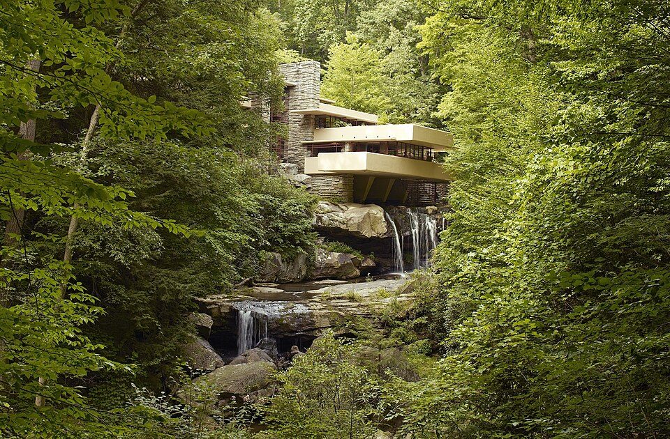
Big draw34 mi MuseumFallingwater
13 mi Stadium & arenaMountaineer Field at Milan Puskar Stadium
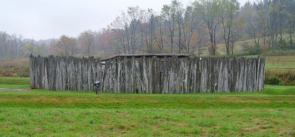
24 mi National BattlefieldFort Necessity National Battlefield226K visitors a year
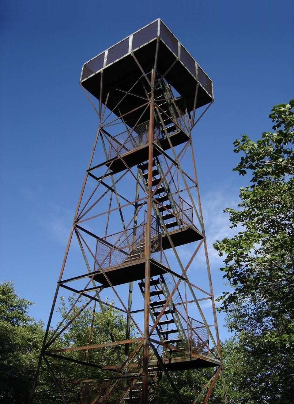
40 mi MountainMount Davis
23 mi LakeDeep Creek Lake
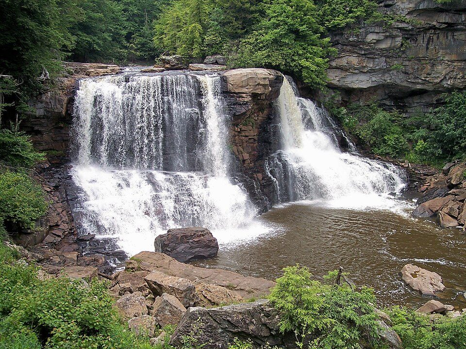
32 mi WaterfallBlackwater FallsFallingwater: Carol M. Highsmith, Public domain · Mountaineer Field at Milan Puskar Stadium: Quintin Soloviev, CC BY 4.0 · Fort Necessity National Battlefield: Wilson44691, CC0 · Mount Davis: Wikiuser100, CC BY-SA 3.0 · Deep Creek Lake: Gohens84, CC BY-SA 3.0 · Blackwater Falls: Tim Kiser (w:User:Malepheasant), CC BY-SA 2.5
2 within 15 miles of the center of Arthurdale
About 4 of every 100 Arthurdale residents are enrolled in college, about the same as West Virginia.
Unincorporated community in West Virginia, United States
Arthurdale is an unincorporated community in Preston County, West Virginia, United States. It was built in 1933 at the height of the Great Depression as a social experiment to provide opportunities for unemployed local miners and farmers. Arthurdale was undertaken by the short-lived Subsistence Homesteads Division and with the personal involvement of First Lady Eleanor Roosevelt, who used her influence to win government approval for the scheme. As of the 2020 census, Arthurdale had a population of 1,143. The aim was to encourage self-sufficiency and reduce dependence on both market forces and welfare provision. The experiment failed through a clash of ideologies, between a strong emphasis o…
From Wikipedia, licensed CC BY-SA 4.0 · facts via Wikidata (CC0)
Short answers, built from the data on this page.
Arthurdale has fewer than 1,000 residents, too few for fair grades; the figures below are still real.