Perry’s post office opened in 1857, and 37% of its homes were built before 1940
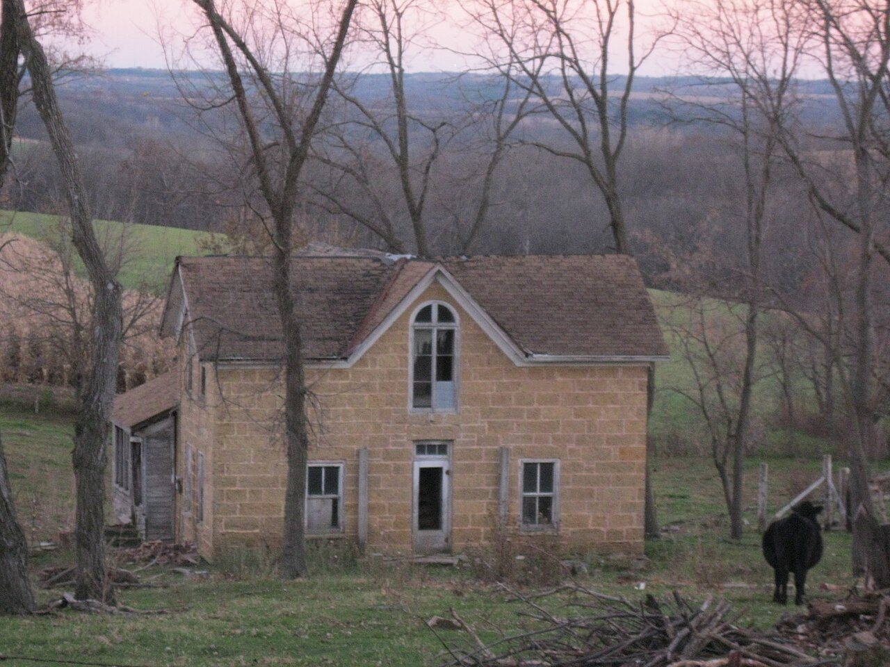
Its Register listings are the Hauge Log Church, the Onon B. and Betsy Dahle House and the Gulbrand and Bertha Jensvold House. Below: maps from 1923 on and old-book passages.
The Perry post office opened in 1857, the earliest record of the town by name. Another post office, Forward (1872), opened inside today’s town and later closed.
2020 census: 737169 years
Founding year: the first Perry post office (Blevins & Helbock, CC0).
What stands out about Perry’s past
Read from the archive, the National Register and the record. The page puts what stands out first.
Wikipedia doesn’t have a history of Perry yet. The photos, dates and memories neighbors add here are how it gets written.
Perry is a town in Dane County, Wisconsin, United States. The population was 737 at the 2020 census. The unincorporated communities of Daleyville and Forward are located in the town.
Its first post office opened in 1857. Its population held steady between the last two censuses: 729 in 2010, 737 in 2020.
Intro from Wikipedia. Population: U.S. Census Bureau.
From the old history books
What they wrote about Perry, 1877–1880
Passages that mention Perry, cut from the printed page as they were published.
History of Dane County, Wisconsin ... preceded by a history of Wisconsin, statistics of the state, and an abstract of its laws and constitution and of the Constitution of the United States1880 · page 915Read the page →
Madison, Dane County and surrounding towns1877 · page 294Read the page →
Read the text
convenience in relation to mail communications* The nearest postoffice was at Blue Mounds, where Ebenezer Brigham was postmaster; and to relieve the inhabitants of Perry and vicinity, somewhat, a sort of private mail communication was established by the citizens, by which they hired a person as mail carrier who each week, brought tlie mail matter from Blue Mounds postoffice, for all of those in the town of
Text read by machine from the scan; it may contain errors.
History of Dane County, Wisconsin ... preceded by a history of Wisconsin, statistics of the state, and an abstract of its laws and constitution and of the Constitution of the United States1880 · page 929Read the page →
Read the text
The territory now constituting the town of Perry was first brought under town government as a part of the town of Madison. Afterward, when Montrose was set oflT into a separate town, it formed one of its three townships. Finally, by an act of the State Legislature, approved March 21, 1849, Township 5 north, of Range 6 east, was set ofi" from the town of Montrose, and called Perry. It was, by the same act, attached to the town of Primrose for all town purposes. Perry was organized under its own town government in 1854, and the first town meeting was held on the 4th day of April of that year, at the house of A. Sanderson, when the following officers were elected : B. F. Denson, Chairman ; A. Sanderson and 0.
Text read by machine from the scan; it may contain errors.
Scans and text from the Internet Archive. Books published in 1930 or earlier, which are in the public domain.
Timeline
Perry, 1852 to 1923
Woven from the archive, old maps, post office records, the National Register and the people born here.
Founding dates: Wikidata, Wikipedia, the U.S. post office records of Blevins & Helbock (CC0) and the Census. Homes by year built: Census ACS 2020–24. National Register of Historic Places: National Park Service (list of May 22, 2026). Old photos, postcards and papers: Wikimedia Commons, the Library of Congress and other public archives, credited on each item’s page. Maps: U.S. Geological Survey historical topographic maps (via Esri) and Sanborn fire-insurance maps (Library of Congress). History text and census tables: Wikipedia (CC BY-SA 4.0). Places that used to be: USGS Geographic Names Information System (2021). How TownRatings grades history →
From Wikimedia Commons (2), Wikidata (3), the National Register of Historic Places (3), Wikidata and Wikipedia for famous people, U.S. Geological Survey historical maps, the US Post Offices dataset (Blevins & Helbock), the USGS Geographic Names Information System and old county and town histories (Internet Archive). Archive images are copied here with their credits and licenses, shown on each photo’s page. Refreshed monthly.





 2014
 2012

