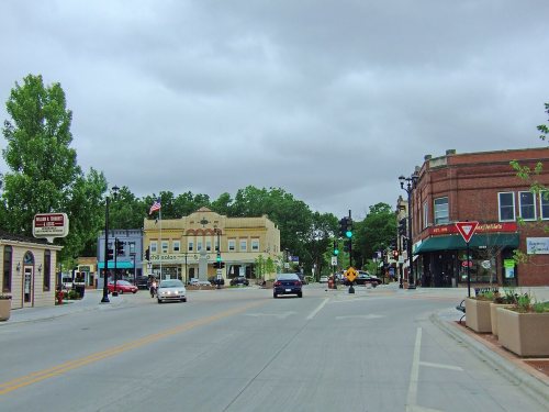
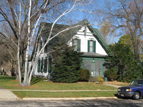
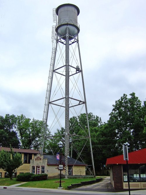
Oregon dates to 1841, and 7 of its places are on the National Register
More historic than 73% of U.S. towns · #109 of 362 in Wisconsin. What drives it
Most of Oregon was built recently: 6% of its homes predate 1940 and the median home dates from 1993. 7 places in town are on the National Register, among them two historic districts with 16 buildings between them. Below: maps from 1889 on and the census since 1880.
Founding year: Wikidata. First post office: 1850.The full story ↓
History grade
What drives Oregon’s History grade
On its age, its old homes and the National Register, Oregon is more historic than 73% of U.S. towns, #109 of 362 in Wisconsin. Its National Register listings hold the grade up; its share of homes from before 1940 pulls it down.
B+
HistoryA character grade: shown, never part of Oregon’s overall grade.
Wisconsin towns list more on the Register than most of the country (a typical Wisconsin town has 3.0 per 10,000 residents, the U.S. 2.4), so Oregon’s 18.2 sits above most of its state (82% of Wisconsin towns have fewer) while its 21 historic buildings outnumber those of 80% of U.S. towns.
How sure. Graded on any two of the three inputs instead, the letter would range from B− to A−. The pre-1940 share (±2.1 points) is firm at this size. Two sources give 1841.
Founding year: Wikidata (other dates in Quick answers). Homes: Census ACS 2020–24. National Register: National Park Service, May 2026 list; each listing counted once (boundary changes and added documentation belong to their listing), and a historic district counts its contributing buildings. How TownRatings grades history →
What stands out about Oregon’s past
Read from the archive, the National Register and the record. The page puts what stands out first.
Every edition of the U.S. Geological Survey’s map of Oregon. Tap a year, or press play to watch the town change.
1889Evansville sheet · 1:62,500
U.S. Geological Survey historical topographic maps (public domain), via Esri’s collection of the scans. The red ring marks the center of Oregon.
Every building
Oregon, building by building, 1894–1910
Fire insurance maps drew every building, what it was made of and what it was used for, so insurers could price the risk of fire. Pick a year, then a sheet.
1894Sheet 1 of 1
Edition
Sheets
BrickWoodStone
Sanborn Map Company, via the Library of Congress. Editions published in 1930 or earlier, which are in the public domain.
The history of Oregon, Wisconsin begins at a crossroad still present today, just south of the village at Rome Corners.
Rome Corners was settled in the fall of 1841 by John Bartlett "Bartley" Runey at the intersection of the Mineral Point-Milwaukee "Old Lead Road" and the Madison-Janesville mail route.
In 1843 Bartley completed his log cabin house and was joined by his wife Margaret and 10+ children.
Passages that mention Oregon, cut from the printed page as they were published.
History of Dane County, Wisconsin ... preceded by a history of Wisconsin, statistics of the state, and an abstract of its laws and constitution and of the Constitution of the United States1880 · page 611Read the page →
Read the text
This road, in running north, crosses the extreme southwest corner of the town of Rutland in Dane County ; then, after crossing the northeast corner of Green County , at Brooklyn, again enters Dane in the town of Oregon. Its course thence to the city of Madison, through the towns of Oregon, Fitchburg and Madison, is almost due north. After leaving the city and town of Madison, its course is northwesterly through the towns of Westport, Vienna and Dane, crossing into Columbia County from the last-mentioned town.
Text read by machine from the scan; it may contain errors.
History of Dane County, Wisconsin ... preceded by a history of Wisconsin, statistics of the state, and an abstract of its laws and constitution and of the Constitution of the United States1880 · page 860Read the page →
Read the text
The first house built in the village was by C. P. Moseley, in 1843, for the purpose of a tavern, around which has since grown the present thriving village of Oregon. The place was first called " Romes Corners," but this was before it was duly laid out and platted. Mr. Prentice, in the winter of 1845-46, sold the first goods here; followed by T. M. Bennett, who finally merged into the firm of Bennett, Winston & Co. The latter house was more extensive than the former, and carried a large stock.
Text read by machine from the scan; it may contain errors.
Madison, Dane County and surrounding towns1877 · page 511Read the page →
Read the text
6 of range 10, were formed into an election precinct in 184t>, and at the suggestion of J. N. Ames, was called liome, from which fact the present village of Oregon was then called ** Rome Corners." In 1847, Rosel Babbitt circulated a petition for separate township organization under the name of Oregon, which waa adopted at the town meeting held in April, and Reu-
Text read by machine from the scan; it may contain errors.
Scans and text from the Internet Archive. Books published in 1930 or earlier, which are in the public domain.
Timeline
Oregon, 1841 to 1926
Woven from the archive, old maps, post office records, the National Register and the people born here.
In 1841, according to Wikidata. Oregon’s post office opened in 1850, and the census of 1880 counted 527 people here.
How does Oregon rank for history?
Oregon is more historic than 73% of U.S. towns, #109 of 362 in Wisconsin. The History grade combines the town’s founding era, the share of homes built before 1940 and its National Register listings. It’s a character grade, so it isn’t part of the overall grade. How it works.
What is on the National Register in Oregon?
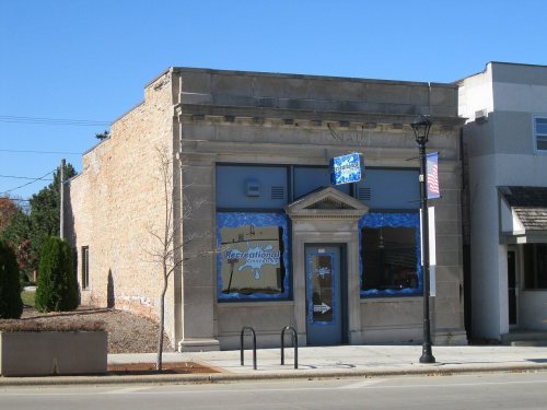
7 listings: 4 buildings, among them the Oregon Masonic Lodge (listed 1992, the first), 2 historic districts, the South Main Street Historic District and the Lincoln Street Historic District, with 16 contributing buildings, and 1 structure. 21 historic buildings in all.
How old are the homes in Oregon?
6% of Oregon’s homes were built before 1940 (Census estimate, ±2.1 points), against a typical 12% for a Wisconsin town; the median home was built in 1993.
Founding dates: Wikidata, Wikipedia, the U.S. post office records of Blevins & Helbock (CC0) and the Census. Homes by year built: Census ACS 2020–24. National Register of Historic Places: National Park Service (list of May 22, 2026). Old photos, postcards and papers: Wikimedia Commons, the Library of Congress and other public archives, credited on each item’s page. Maps: U.S. Geological Survey historical topographic maps (via Esri) and Sanborn fire-insurance maps (Library of Congress). History text and census tables: Wikipedia (CC BY-SA 4.0). Places that used to be: USGS Geographic Names Information System (2021).
From Wikimedia Commons (1), Wikidata (5), the National Register of Historic Places (7), Wikipedia, Wikidata and Wikipedia for famous people, U.S. Geological Survey historical maps, U.S. Census counts (via Wikipedia), the US Post Offices dataset (Blevins & Helbock), the USGS Geographic Names Information System, Sanborn fire insurance maps (Library of Congress) and old county and town histories (Internet Archive). Archive images are copied here with their credits and licenses, shown on each photo’s page. Refreshed monthly.


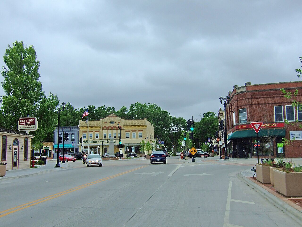



 2009