On April 14, 2010, a fireball from outer space streaked across several Midwestern states and landed outside of Mifflin. The highly publicized Mifflin fireball, as it is now known, has produced several pounds of meteorites, and was featured on The Science Channel's Meteorite Men. The meteorite has been studied and classified as a L5 chondrite by scientists at the University of Wisconsin.
Passages that mention Mifflin, cut from the printed page as they were published.
History of Iowa County, Wisconsin, containing an account of its settlement, growth, development and resources...biographical sketches..1881 · page 807Read the page →
History of Iowa County, Wisconsin, containing an account of its settlement, growth, development and resources...biographical sketches..1881 · page 820Read the page →
Read the text
On Section 3-1, near the central part of the town, in the valley between the hills overlooking the waters of the Pecatonica River, is located the attractive village of Mifflin. After the completion of the Mifflin Mills, erected in 1848, Joel Clayton purchased thirteen acres of land from James Waddel, and proceeded to plat and survey the present village of Mifflin. This having been accomplished he erected a comfortable log cabin, a story and a half high, which was occupied by his parents for a dwelling a number of years, and subsequently, in 1865, was razed by Mr. Bainbridge. The first store-keepers in Mifflin came principally from Dallas, previously the leading village in the town. Among this number were Messrs. Miller, Ham-
Text read by machine from the scan; it may contain errors.
Scans and text from the Internet Archive. Books published in 1930 or earlier, which are in the public domain.
Founding dates: Wikidata, Wikipedia, the U.S. post office records of Blevins & Helbock (CC0) and the Census. Homes by year built: Census ACS 2020–24. National Register of Historic Places: National Park Service (list of May 22, 2026). Old photos, postcards and papers: Wikimedia Commons, the Library of Congress and other public archives, credited on each item’s page. Maps: U.S. Geological Survey historical topographic maps (via Esri) and Sanborn fire-insurance maps (Library of Congress). History text and census tables: Wikipedia (CC BY-SA 4.0). Places that used to be: USGS Geographic Names Information System (2021). How TownRatings grades history →
From Wikimedia Commons (6), Wikipedia, Wikidata and Wikipedia for famous people, U.S. Geological Survey historical maps, the US Post Offices dataset (Blevins & Helbock), the USGS Geographic Names Information System and old county and town histories (Internet Archive). Archive images are copied here with their credits and licenses, shown on each photo’s page. Refreshed monthly.


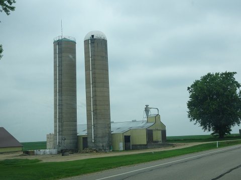 2015
 2015
 2015
 2015
 2015
 2004