The Leeds post office opened in 1853, the earliest record of the town by name. Three smaller post offices, North Leeds (1857), Leeds Centre (1858) and Keyeser (1877), opened inside today’s town and later closed.
2020 census: 755173 years
Founding year: the first Leeds post office (Blevins & Helbock, CC0).
What stands out about Leeds’ past
Read from the archive, the National Register and the record. The page puts what stands out first.
US Post Offices dataset (Blevins & Helbock, CC0). Places and cemeteries from the USGS Geographic Names Information System (2021).
On the map
Leeds on the map, 1901 to 1984
Every edition of the U.S. Geological Survey’s map of Leeds. Tap a year, or press play to watch the town change.
1901Poynette sheet · 1:62,500
U.S. Geological Survey historical topographic maps (public domain), via Esri’s collection of the scans. The red ring marks the center of Leeds.
The story so far
Leeds, in brief
Wikipedia doesn’t have a history of Leeds yet. The photos, dates and memories neighbors add here are how it gets written.
Leeds is a town in Columbia County, Wisconsin, United States. The population was 755 at the 2020 census. The unincorporated communities of Keyeser, Leeds, Leeds Center, and North Leeds are located in the town. The town took its name from the city of Leeds, England.
Its first post office opened in 1853. Between the 2010 and 2020 censuses its population fell from 774 to 755 (-2%).
Intro from Wikipedia. Population: U.S. Census Bureau.
From the old history books
What they wrote about Leeds, 1880–1914
Passages that mention Leeds, cut from the printed page as they were published.
The history of Columbia county, Wisconsin, containing an account of its settlement ..1880 · page 761Read the page →
Read the text
The town of Leeds was organized in 1850, and comprised all of Township 10, Range 10, and the east half of Township 10, Range 9. In 1855, the latter portion of the town was set off to Arlington, leaving the town of Leeds one full township.
Text read by machine from the scan; it may contain errors.
A history of Columbia County, Wisconsin1914 · page 406Read the page →
Read the text
Town op Leeds Like Caledonia, the Town of Leeds is almost entirely agricultural. No effort has ever been made to locate a village within its limits, although at an early day Leeds. North Leeds, Leeds Center and Eeyser were established as postoffices, but, with the later coming of the rural delivery, its facilities of intercommunication have been sufficient.
Text read by machine from the scan; it may contain errors.
The history of Columbia county, Wisconsin, containing an account of its settlement ..1880 · page 759Read the page →
Read the text
The town of Leeds is an agricultural town. No effort has ever been made to locate a village within its boundaries, but now its inhabitants are well supplied with mail facilities, there then being four post offices in the town — Leeds, North Leeds, Leeds Center, and Keyser.
Text read by machine from the scan; it may contain errors.
A history of Columbia County, Wisconsin1914 · page 165Read the page →
Read the text
The first Norwegian Church edifice was a small log house in the Town of Otsego, built in the summer of 1853. In June of that year the cornerstone of the church in the Town of Leeds was also laid. In 1866 the Bonnet Prairie Congregation erected a meeting house of stone, and the Lodi Church erected a brick edifice in 1871. At that time there were 280 families in the various congregations connected with the parish.
Text read by machine from the scan; it may contain errors.
Scans and text from the Internet Archive. Books published in 1930 or earlier, which are in the public domain.
Timeline
Leeds, 1853 to 1903
Woven from the archive, old maps, post office records, the National Register and the people born here.
Founding dates: Wikidata, Wikipedia, the U.S. post office records of Blevins & Helbock (CC0) and the Census. Homes by year built: Census ACS 2020–24. National Register of Historic Places: National Park Service (list of May 22, 2026). Old photos, postcards and papers: Wikimedia Commons, the Library of Congress and other public archives, credited on each item’s page. Maps: U.S. Geological Survey historical topographic maps (via Esri) and Sanborn fire-insurance maps (Library of Congress). History text and census tables: Wikipedia (CC BY-SA 4.0). Places that used to be: USGS Geographic Names Information System (2021). How TownRatings grades history →
From Wikimedia Commons (5), Wikidata and Wikipedia for famous people, U.S. Geological Survey historical maps, the US Post Offices dataset (Blevins & Helbock), the USGS Geographic Names Information System and old county and town histories (Internet Archive). Archive images are copied here with their credits and licenses, shown on each photo’s page. Refreshed monthly.
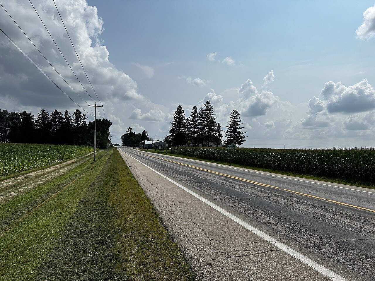


 2024
 2016
 2013
 2013
 2004