Lancaster’s post office opened in 1837, and 31% of its homes were built before 1940
More historic than 95% of U.S. towns · #13 of 362 in Wisconsin. What drives it
6 places in town are on the National Register, among them a historic district with 34 buildings. Below: 1 old photo or paper, maps from 1894 on, and the census since 1880.
Founding year: the first Lancaster post office (Blevins & Helbock, CC0).The full story ↓
History grade
What drives Lancaster’s History grade
On its age, its old homes and the National Register, Lancaster is more historic than 95% of U.S. towns, #13 of 362 in Wisconsin. All 3 inputs are above most U.S. towns; its National Register listings ranks highest and its age lowest.
A
HistoryA character grade: shown, never part of Lancaster’s overall grade.
Wisconsin towns list more on the Register than most of the country (a typical Wisconsin town has 3.0 per 10,000 residents, the U.S. 2.4), so Lancaster’s 98.1 sits above most of its state (94% of Wisconsin towns have fewer) while its 39 historic buildings outnumber those of 83% of U.S. towns.
How sure. Graded on any two of the three inputs instead, the letter would still be A. The pre-1940 share is a Census survey estimate (±5.4 points). The founding year is the first post office, not a stated founding date.
Founding year: the first post office (other dates in Quick answers). Homes: Census ACS 2020–24. National Register: National Park Service, May 2026 list; each listing counted once (boundary changes and added documentation belong to their listing), and a historic district counts its contributing buildings. How TownRatings grades history →
What stands out about Lancaster’s past
Read from the archive, the National Register and the record. The page puts what stands out first.
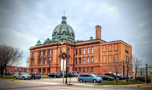
Lancaster originated as a planned community to serve as the county seat for Grant County. Anticipating the county's establishment in 1836, Major Glendower M. Price, a Cassville merchant and land speculator, purchased the site of Lancaster for its central location in the county. Major Price platted the town on a compass-aligned grid in 1837, reserving a large central square for the new county government. He was persuaded to name the city Lancaster by a relative who migrated from Lancaster, Pennsylvania. Maj. Price and Daniel Banfill contracted to construct the first county courthouse, which stood on the square from 1838–1851. A second courthouse was constructed in 1852–1853 and enlarged in 1865. The present, third courthouse was constructed on the site in 1902.
Passages that mention Lancaster, cut from the printed page as they were published.
History of Grant County Wisconsin1900 · page 447Read the page →
Read the text
This settlement had its origin almost contemporaneously with the first settlement of Lancaster village. It lies mostly in the southwest¬ ern corner of the town of Lancaster, bu$ portions of it extend into the towns of Beetown and Potosi. This was one of the few localities in Grant County which were heavily timbered three-quarters of a century ago, and the immigrants from the forests of the East and South prob¬ ably felt more at home there than on the prairies. A cyclone at some unknown date had overturned many of the trees, and from this cir¬
Text read by machine from the scan; it may contain errors.
History of Grant County, Wisconsin1881 · page 562Read the page →
Read the text
William Richards kept the first boarding-house in a log-house built by Boice, who formerly owned the land where Lancaster now stands, and sold the same to Maj. Price, who laid out the town of Lancaster. While he was keeping there,' a quarrel arose between him (Richards) and the boarders. Ihe boarders all left, and employed a Frenchman to do their cooking, and had their kitchen beside a log near where the Phelps House now stands ; had their dining-room in a small frame buildmg.
Text read by machine from the scan; it may contain errors.
History of Grant County Wisconsin1900 · page 73Read the page →
Read the text
The next railroad built in the county owed its construction to the determination of the Lancaster people to have a railroad. At first they looked principally to a connection with Platteville, but a road to Dubuque via Potosi was also discussed. A road had been surveyed from Lancaster to connect with the Kickapoo Valley Railroad, but little attention was paid to it. In 1875, beginning in January, a ser¬ ies of enthusiastic meetings were held in Lancaster, in which the peo¬ ple expressed a readiness to lay a five per cent, tax for a road to any
Text read by machine from the scan; it may contain errors.
Scans and text from the Internet Archive. Books published in 1930 or earlier, which are in the public domain.
Timeline
Lancaster, 1837 to 1938
Woven from the archive, old maps, post office records, the National Register and the people born here.
Nothing in the archives for these yearsWeddings on Main Street, storms, parades, school pictures, the old store. If it’s in your family album, it belongs here.
Fire insurance maps drew every building, what it was made of and what it was used for, so insurers could price the risk of fire. Pick a year, then a sheet.
The Lancaster post office opened in 1837, the earliest record of the town by name (U.S. post office records).
How does Lancaster rank for history?
Lancaster is more historic than 95% of U.S. towns, #13 of 362 in Wisconsin. The History grade combines the town’s founding era, the share of homes built before 1940 and its National Register listings. It’s a character grade, so it isn’t part of the overall grade. How it works.
What is on the National Register in Lancaster?
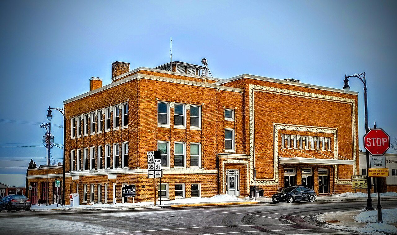
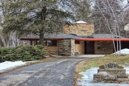
6 listings: 5 buildings, among them the Grant County Courthouse (listed 1978, the first), and 1 historic district, the Courthouse Square Historic District, with 34 contributing buildings. 39 historic buildings in all.
How old are the homes in Lancaster?
31% of Lancaster’s homes were built before 1940 (Census estimate, ±5.4 points), against a typical 12% for a Wisconsin town; the median home was built in 1962.
Founding dates: Wikidata, Wikipedia, the U.S. post office records of Blevins & Helbock (CC0) and the Census. Homes by year built: Census ACS 2020–24. National Register of Historic Places: National Park Service (list of May 22, 2026). Old photos, postcards and papers: Wikimedia Commons, the Library of Congress and other public archives, credited on each item’s page. Maps: U.S. Geological Survey historical topographic maps (via Esri) and Sanborn fire-insurance maps (Library of Congress). History text and census tables: Wikipedia (CC BY-SA 4.0). Places that used to be: USGS Geographic Names Information System (2021).
From Wikimedia Commons (2), Wikidata (4), the National Register of Historic Places (6), Wikipedia, Wikidata and Wikipedia for famous people, U.S. Geological Survey historical maps, U.S. Census counts (via Wikipedia), the US Post Offices dataset (Blevins & Helbock), the USGS Geographic Names Information System, Sanborn fire insurance maps (Library of Congress) and old county and town histories (Internet Archive). Archive images are copied here with their credits and licenses, shown on each photo’s page. Refreshed monthly.







 2011


