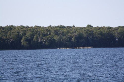
According to William Whipple Warren's History of the Ojibway People (18xx), Moningwunakuaning "is the spot on which the Ojibway tribe first grew, and like a tree it has spread its branches in every direction, in the bands that now [1885] occupy the vast extent of the Ojibway earth; and also that 'it is the root from which all the far scattered villages of the tribe have sprung.'"
La Pointe was originally the site of a fortified French trading post from 1693 to 1698 and from 1718 to 1759. The current city began to develop in the late 18th century as an American Fur Company outpost under the leadership of Michel Cadotte.
National Park Service, National Register of Historic Places. Photos from Wikimedia Commons, credited on each place’s page.
Places that used to be
Lost post offices, old corners, places now gone and burying grounds
La Pointe had its own post office from 1843 to 1887.
La Pointe
1843–1887
La Pointe
1890–today
18401930today
Hamlets and corners on the map
MiddleportOld Fort
Gone or out of use
Bass Island Brownstone Company Quarrymine
3cemeteries and burying grounds inside La Pointe
GreenwoodLa Pointe IndianSaint Joseph
US Post Offices dataset (Blevins & Helbock, CC0). Places and cemeteries from the USGS Geographic Names Information System (2021).
Questions about La Pointe’s history
What year was La Pointe founded?
In 1693, according to Wikidata. La Pointe’s post office opened in 1843, and the census of 1900 counted 292 people here.
What is on the National Register in La Pointe?
6 listings: 3 buildings, 1 historic district, the Rocky Island Historic District, with 15 contributing buildings, and 2 sites. 27 historic buildings in all.
Founding dates: Wikidata, Wikipedia, the U.S. post office records of Blevins & Helbock (CC0) and the Census. Homes by year built: Census ACS 2020–24. National Register of Historic Places: National Park Service (list of May 22, 2026). Old photos, postcards and papers: Wikimedia Commons, the Library of Congress and other public archives, credited on each item’s page. Maps: U.S. Geological Survey historical topographic maps (via Esri) and Sanborn fire-insurance maps (Library of Congress). History text and census tables: Wikipedia (CC BY-SA 4.0). Places that used to be: USGS Geographic Names Information System (2021). How TownRatings grades history →
From Wikimedia Commons (11), Wikidata (1), the National Register of Historic Places (6), Wikipedia, U.S. Geological Survey historical maps, U.S. Census counts (via Wikipedia), the US Post Offices dataset (Blevins & Helbock) and the USGS Geographic Names Information System. Archive images are copied here with their credits and licenses, shown on each photo’s page. Refreshed monthly.




 2010
 2010
 2010
 2010
 2010
 2010
 2010
 2010
 2010
 2006
 2004