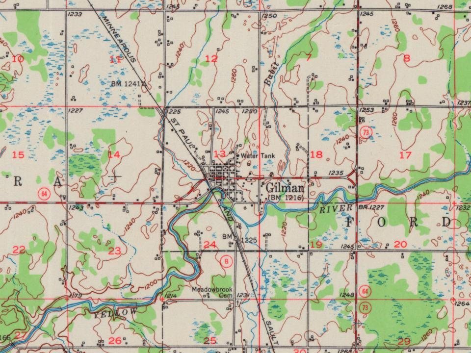
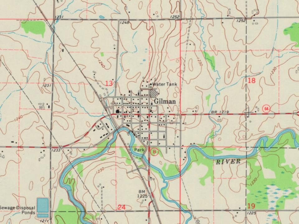
Before logging and settlers, the land around Gilman was covered with a mosaic of forest and swamps, drained by the Yellow River. Native Americans travelled along the river, at times portaging over to the Big Rib River to reach the Wisconsin River valley. By 1800, the area around Gilman was dominated by Ojibwe people, but Dakota, Ho-Chunk and Menominee were not far away. In 1837 the U.S. forced the Ojibwe to cede much of northern Wisconsin, including the area that would become Gilman, in the White Pine Treaty. Government surveyors came through in 1847 and again in 1854, marking section lines and assessing timber and mill sites.
Founding dates: Wikidata, Wikipedia, the U.S. post office records of Blevins & Helbock (CC0) and the Census. Homes by year built: Census ACS 2020–24. National Register of Historic Places: National Park Service (list of May 22, 2026). Old photos, postcards and papers: Wikimedia Commons, the Library of Congress and other public archives, credited on each item’s page. Maps: U.S. Geological Survey historical topographic maps (via Esri) and Sanborn fire-insurance maps (Library of Congress). History text and census tables: Wikipedia (CC BY-SA 4.0). Places that used to be: USGS Geographic Names Information System (2021). How TownRatings grades history →
From Wikimedia Commons (2), the Library of Congress (1), Wikipedia, U.S. Geological Survey historical maps, U.S. Census counts (via Wikipedia), the US Post Offices dataset (Blevins & Helbock) and the USGS Geographic Names Information System. Archive images are copied here with their credits and licenses, shown on each photo’s page. Refreshed monthly.

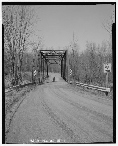 Date?
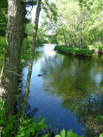 2026
 2015