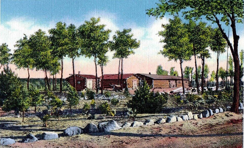
The nearest draw to Auburn: Carson Park, 24 mi away
A day out from Auburn leads to Lower Saint Croix National Scenic Riverway, 53 mi away. Our list finds nothing inside Auburn, but 2 places within 40 miles. The list around it takes in 2 national park units.
Carson Park
Park in Eau Claire, Wisconsin.
The towns around it, and where to stay →
Mapped around Auburn
The outermost point is Carson Park, at 24 mi.
Orange: Auburn. Numbers: the best-known places, matching the list below. © OpenStreetMap contributors
All the places to visit
These 9 are all within 60 miles.
 2
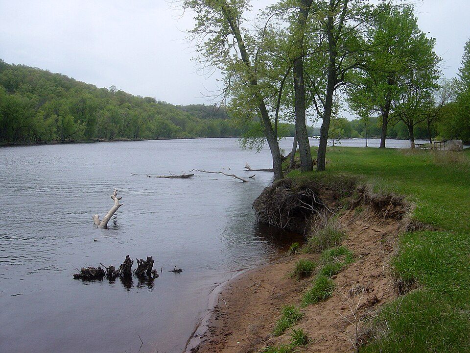
Lower Saint Croix National Scenic Riverway
Protected area in Minnesota and Wisconsin, United States.
 3
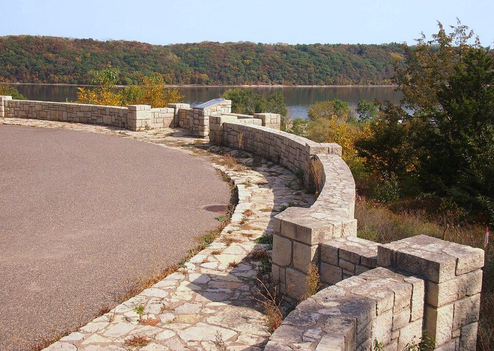 4
 5
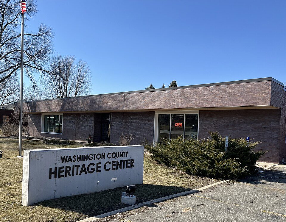
Washington County Historical Society, Minnesota
Organization in Minnesota, US.
 6
 9
Ranked by how many people look them up, so the famous places lead and the local favorites follow.
Photo credits
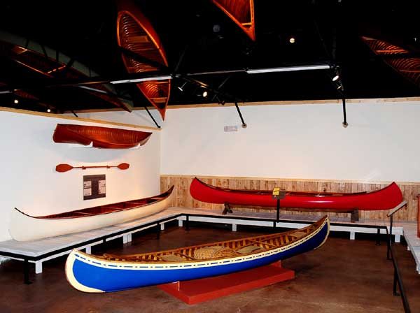
Carson Park: Unknown authorUnknown author, Public domain · Lower Saint Croix National Scenic Riverway: Bobak Ha'Eri, CC BY 3.0 · Franconia Sculpture Park: McGhiever, CC BY-SA 4.0 · Stillwater Overlook: McGhiever, CC BY-SA 3.0 · Washington County Historical Society, Minnesota: Heritage Preservation Department - MNHS, CC BY-SA 2.0 · Reads Landing Overlook: McGhiever, CC BY-SA 4.0 · Wisconsin Canoe Heritage Museum: Somewhere On The Road of Life at en.wikipedia, Attribution


