26 years in pictures
Census counts: 80,927 in 2000, 102,976 in 2020. The archive holds 24 old photos and papers going back to 1912 and 4 maps from 1949 on.
1 place on the National Register of Historic Places.
- 2000Spokane Valley is settled
Each edition grades its towns against each other only.

Spokane Valley is a city of 108,405, and it grades C overall, 184th of 285 graded towns in Washington. It is easier to get around on foot or by transit than 83% of U.S. towns. The trade-offs: its crime rate is higher than 87% of U.S. towns, with 253 violent crimes reported to the FBI in 2025, and homes are expensive, about $408K for a typical one and 5.3 times the Spokane metro’s $77K median household income. 30% of working residents work locally in Spokane Valley, where Washington’s towns sit at 4.8% and U.S. towns at 8%. On hazard risk, just 10 of Washington’s 397 towns do better. California Ranch and American Firebrick Company is on the National Register of Historic Places.
Where Spokane Valley beats most towns.
| School | Grades | Students |
|---|---|---|
| Sunrise Elementary | PK–5 | 644 |
| Greenacres Elementary | K–5 | 637 |
| Opportunity Elementary | PK–5 | 631 |
89,755 counted in 2010 and 102,976 in 2020; an estimated 108,405 in 2025.
Growth hasn’t slowed: 5.2% since 2020, after 14.7% in the decade before.
U.S. Census 2010 & 2020 counts · Census Bureau estimate, July 1, 2025
Each subject compared with towns across the country (schools within Washington), ordered by how far Spokane Valley is from typical.
Its grades run from A+ for hazard risk (better than 97% of comparable towns) to D for safety (better than 13%), so the C overall blends very different results.
How TownRatings grades towns →
Census counts: 80,927 in 2000, 102,976 in 2020. The archive holds 24 old photos and papers going back to 1912 and 4 maps from 1949 on.
1 place on the National Register of Historic Places.
Museums, parks, gardens and other places to visit around Spokane Valley. Close and well known come first.
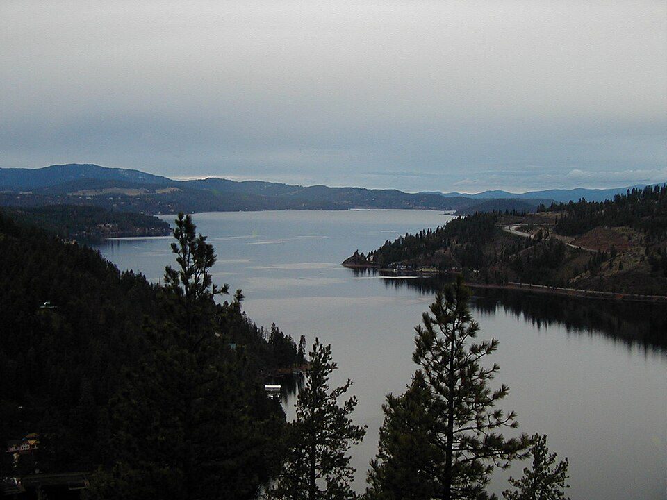
21 mi LakeCoeur D'Alene Lake
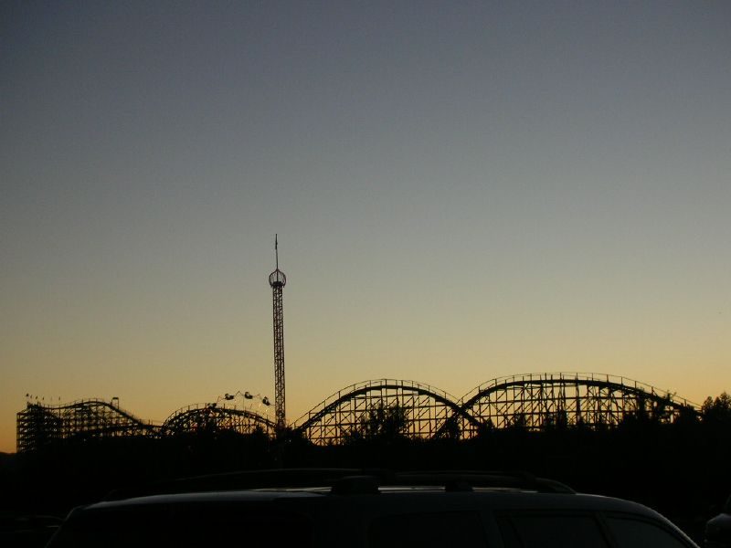
30 mi Theme parkSilverwood Theme Park
9 mi Stadium & arenaNumerica Veterans Arena
9 mi Theme parkRiverfront Park
9 mi GardenManito Park and Botanical Gardens19 mi Ski areaMt. Spokane61 runs · 1,974 ft verticalCoeur D'Alene Lake: The original uploader was Jamidwyer at English Wikipedia., CC BY-SA 2.0 · Silverwood Theme Park: nicanicasather, CC BY 2.0 · Numerica Veterans Arena: Jdubman at English Wikipedia, Public domain · Riverfront Park: en:User:Sundodger, Public domain · Manito Park and Botanical Gardens: Jdubman at English Wikipedia, CC BY-SA 3.0
Who provides power, water and the rest in Spokane Valley, and how to reach them.
EPA SDWIS (Oct 9, 2026) · HIFLD + EIA-861 2025 · Census 2020 ZCTAs · NCES 2024–25 · registration: vote.gov, updated Sep 30, 2026.
Ordered by what stands out in Spokane Valley.
Spokane Valley carries less natural-hazard risk than nearly all of Washington (mostly inland flooding), trades workers with Spokane and other neighbors and is healthy by national standards but mid-pack in Washington.
FEMA rates its natural-hazard risk lower than 97% of Washington towns, with expected losses of about $125 per resident a year; that rating is what its A+ for hazard risk is built on.
Spokane Valley’s FEMA risk score is 4 of 100. One flood insurance claim has been paid in Spokane Valley since 2016.
FEMA flood insurance claims · FEMA National Risk Index · OpenFEMA
Its public schools are run by the Central Valley School District. Two of its 54 schools are below, each with why it’s listed.
| School | Level | Students | Letter |
|---|---|---|---|
| Evergreen Middle SchoolLargest public middle schoolGrades 6–8 | Grades 6–8 | 668 | – |
| University High SchoolLargest public high schoolGrades 9–12 | Grades 9–12 | 1,410 | – |
NCES · EDFacts · graded within WA on state tests and graduation
Reported crimes fell from 4,074 to 3,873 over the last three FBI years, a drop beyond ordinary year-to-year swings.
The property crime rate in Spokane Valley is 33.1 per 1,000 residents. Spokane Valley reports more crime per resident than most U.S. towns we grade: about 87% report less. The violent crime rate in Spokane Valley is 2.3 per 1,000 residents.
| Spokane Valley | Washington towns | U.S. towns | |
|---|---|---|---|
| Property crimes per 1,000 (2025) | 33.1 per 1,000 residents | 15 | 9.9 |
| Violent crimes per 1,000 (2025) | 2.3 per 1,000 residents | 1.5 | 1.6 |
FBI crime data, 2025 · crimes reported to police
58% of households own their home in Spokane Valley. The typical Spokane Valley home is worth about $408,000, about the same as a year ago, 31% below the Washington typical home.
| Spokane Valley | Washington towns | U.S. towns | |
|---|---|---|---|
| Households that own their home | 58% | 71% | 73% |
| Median rent | $1,353 a month | $1,740 a month | $1,185 a month |
| Renters paying 30%+ of income on rent | 52% | 51% | 48% |
Census ACS, 2020–24 · Zillow Home Value Index · Redfin Data Center
January nights average 24.9°: milder than most of the country, but colder than 78% of Washington places with climate records; July afternoons average 84.9°.
Spokane Valley has chilly, snowy winters and warm summers, with very little rain. About 45 inches of snow falls in a winter.
| Spokane Valley | Washington towns | U.S. towns | |
|---|---|---|---|
| July high | 85°F | 77°F | 85°F |
| January low | 25°F | 35°F | 22°F |
NOAA U.S. Climate Normals, 1991–2020
Within Washington it is less healthy than 65% of the 285 graded towns: Washington sets a high bar.
Spokane Valley beats the Washington average on 0 of 31 CDC measures and trails it on 12. 73% of Spokane Valley adults had a checkup this year.
| Spokane Valley | Washington towns | U.S. towns | |
|---|---|---|---|
| Yearly checkup (CDC PLACES) | 73% | 71% | 79% |
| Depression (CDC PLACES) | 27% | 26% | 23% |
| Frequent mental distress (CDC PLACES) | 18% | 17% | 17% |
| Get no exercise (CDC PLACES) | 20% | 18% | 25% |
| What stands out | Spokane Valley | WA |
|---|---|---|
| More adults with COPD | 6.5% | 5.1% |
| More smokers | 12.4% | 10.1% |
| More adults facing a utility shut-off | 6.1% | 5.1% |
CDC PLACES 2025 · modeled estimates for adults · CMS · HRSA
Spokane Valley has about as many jobs (54,014) as working residents, but only 13,388 people both live and work here.
About one in 3 of Spokane Valley’s working residents works in town. Since 2013, Spokane Valley has added 7,377 jobs, to 54,014 in 2023. The top destinations are Spokane (34%), Liberty Lake (6%) and Seattle (2%).
| Spokane Valley | Washington towns | U.S. towns | |
|---|---|---|---|
| Average trip to work | 21 minutes | 27 minutes | 25 minutes |
| Below the poverty line | 13% | 7.9% | 9.6% |
| Median household income | $74,000 | $98,000 | $80,000 |
| Work from home | 13% | 15% | 11% |
Census LEHD 2023 · ACS
9.9 miles of trail in 14 parks and preserves. Spokane River Centennial State Park, at 236 acres with 2.5 miles of trail, is the biggest park or preserve.
| Spokane Valley | Washington towns | U.S. towns | |
|---|---|---|---|
| Miles of trail per square mile | 0.3 miles per square mile | 0.8 | 0.4 |
| Conserved land | 2.6% | 4% | 4.3% |
| Biggest places to walk | Trails | Acres |
|---|---|---|
| 1. Spokane River Centennial State Park | 2.5 mi | 236 |
| 2. Mirabeau Point Park | 0.6 mi | 56 |
| 3. Balfour Park | 0.5 mi | 10 |
Trails & parks © OpenStreetMap contributors · Conserved land: USGS PAD-US
6 within 15 miles of the center of Spokane Valley
About 4 of every 100 Spokane Valley residents are enrolled in college, against 6 across Washington.
City in Washington, United States
Spokane Valley is a city in Spokane County, Washington, United States, and the largest suburb of Spokane. It is located east of Spokane, west of Coeur d'Alene, Idaho, and surrounds the city of Millwood on three sides. The city incorporated as the City of Spokane Valley on March 31, 2003. The population was 102,976 at the 2020 census, making it the ninth-most populous city in Washington State. Spokane Valley is named after the valley of the Spokane River, in which it is located. The city and the general area is colloquially referred to as "The Valley" by residents of the Spokane–Coeur d'Alene area. Spokane Valley hosts a variety of community events such as the Spokane County Interstate Fair,…
From Wikipedia, licensed CC BY-SA 4.0 · facts via Wikidata (CC0)
3 towns share a border with Spokane Valley.
| Town | WA rank | Overall | Cost | Safety | Schools | Health |
|---|---|---|---|---|---|---|
| Spokane Valley | #184 | C | D | D | B+ | B |
| Spokane | #197 | C | C− | D− | B | B |
| Millwood | — | — | C | — | B− | B+ |
| Liberty Lake | #45 | B+ | D | C+ | A− | A |
Millwood has fewer than 2,500 residents, so it gets subject grades but no overall grade. Millwood reports no FBI crime data of its own. Compare Spokane Valley with a neighbor →
Short answers, built from the data on this page.
Spokane Valley grades C overall, better than 32% of U.S. towns and #184 of 285 in Washington. It grades B for health, D for safety and B+ for schools. Safety is its weak spot, with a D.