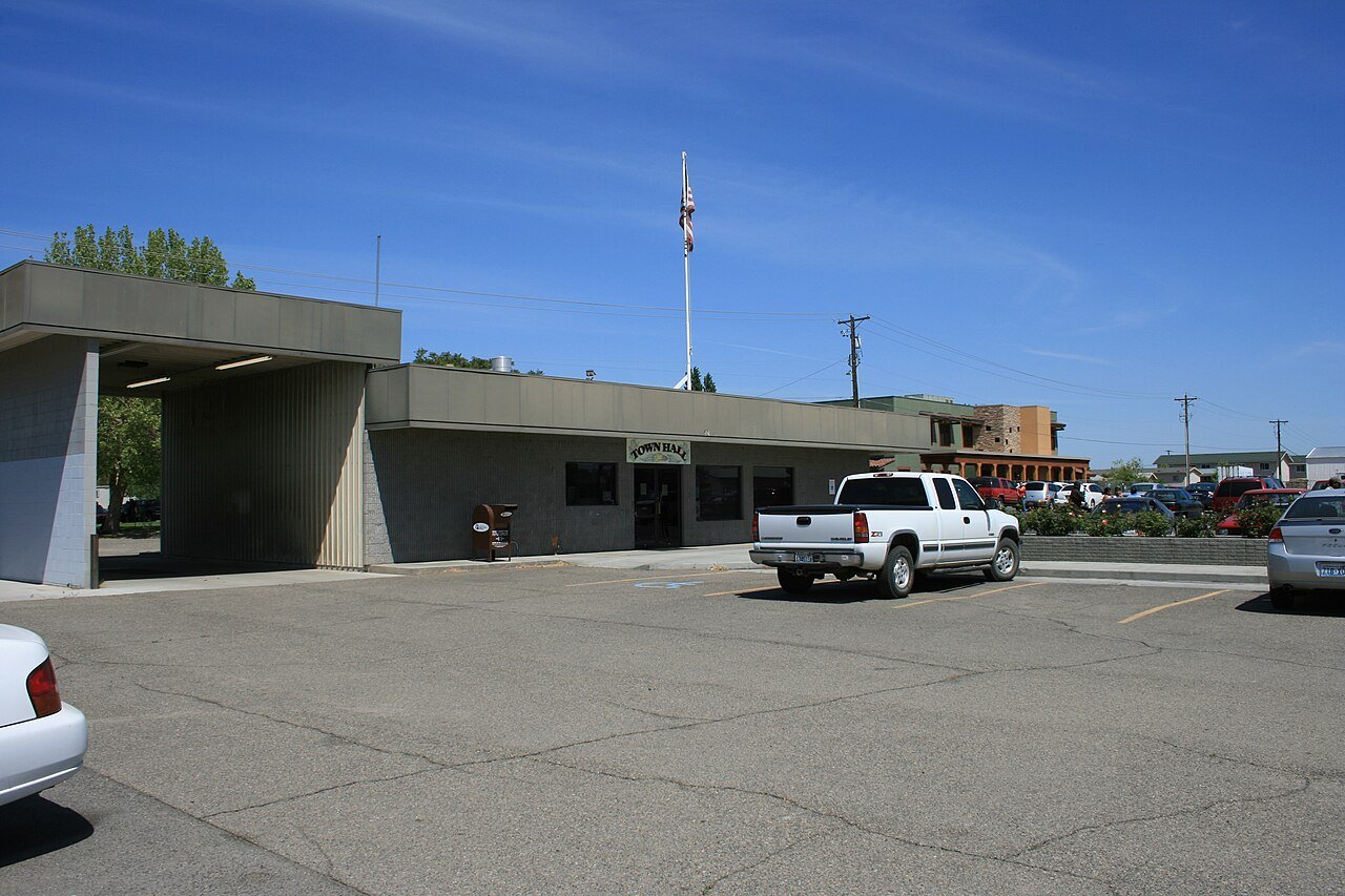
117 years in pictures
Census counts: 394 in 1960, a low of 180 in 1970, 3,335 in 2020. The archive holds 6 old photos and papers going back to 2004 and 5 maps from 1917 on.
- 1909Mattawa is settled
Each edition grades its towns against each other only.

A town of 3,874, settled in 1909.
Mattawa earns a D−, 283rd of 285 graded towns in Washington, mostly because of incomes and health. The median household income is $38K, and 33% of residents live below the poverty line. CDC estimates put its residents' health behind 94% of the country. 33% of residents live below the poverty line in Mattawa, where Washington’s towns sit at 7.9% and U.S. towns at 9.6%. No town in Washington scores lower than Mattawa on civic life.
4,437 counted in 2010 and 3,335 in 2020; an estimated 3,874 in 2025.
The decline has turned around: up 15.7% since 2020, after a 24.8% drop in the decade before.
U.S. Census 2010 & 2020 counts · Census Bureau estimate, July 1, 2025
Each subject compared with towns across the country (schools within Washington), ordered by how far Mattawa is from typical.
How TownRatings grades towns →
Census counts: 394 in 1960, a low of 180 in 1970, 3,335 in 2020. The archive holds 6 old photos and papers going back to 2004 and 5 maps from 1917 on.
Who provides power, water and the rest in Mattawa, and how to reach them.
EPA SDWIS (Oct 9, 2026) · HIFLD + EIA-861 2025 · Census 2020 ZCTAs · NCES 2024–25 · registration: vote.gov, updated Sep 30, 2026.
Ordered by what stands out in Mattawa.
Mattawa has property taxes about half the Washington norm, but it is a long drive from an emergency room and has poverty well above the Washington rate.
The nearest emergency room, Astria Sunnyside Hospital, is 29 miles away in a straight line. Against the 1,965 U.S. towns with household incomes like Mattawa’s, it is less healthy than 66%, so its D isn’t only a matter of income.
39% of Mattawa adults say their health is fair or poor. Of the 285 Washington towns we compare, none has a higher share of adults who report frequent physical distress than Mattawa. 21% of Mattawa adults report frequent mental distress.
| Mattawa | Washington towns | U.S. towns | |
|---|---|---|---|
| Fair or poor health (CDC PLACES) | 39% | 17% | 19% |
| Obesity (CDC PLACES) | 46% | 33% | 35% |
| Frequent physical distress (CDC PLACES) | 19% | 13% | 14% |
| Get no exercise (CDC PLACES) | 40% | 18% | 25% |
| What stands out | Mattawa | WA |
|---|---|---|
| Fewer adults who have had cancer | 2.6% | 7.9% |
| Fewer adults with arthritis | 17.4% | 24.4% |
| More uninsured adults | 41.4% | 8.4% |
CDC PLACES 2025 · modeled estimates for adults · CMS · HRSA
Its public schools are run by the Wahluke School District. One of its 3 schools is below, with why it’s listed.
| School | Level | Students | Letter |
|---|---|---|---|
| Mattawa ElementaryLargest public elementary schoolGrades K | Grades K | 199 | – |
NCES · EDFacts · graded within WA on state tests and graduation
The median property tax bill is $1,116, against $4,556 across Washington, another input to its cost-of-living grade.
25% of households own their home in Mattawa. The typical Mattawa home is worth about $437,000, down 1% in a year, 26% below the Washington typical home. Mattawa’s median rent is $1,128 a month.
| Mattawa | Washington towns | U.S. towns | |
|---|---|---|---|
| Households that own their home | 25% | 71% | 73% |
| Median rent | $1,128 a month | $1,740 a month | $1,185 a month |
Census ACS, 2020–24 · Zillow Home Value Index · Redfin Data Center
Mattawa has chilly winters and warm summers, with very little rain. The July high in Mattawa is 91°F.
NOAA U.S. Climate Normals, 1991–2020
Jobs based here grew from 348 in 2013 to 848.
About one in 5 of Mattawa’s working residents works in town. Jobs based in Mattawa grew to 848 in 2023, 500 more than in 2013. The top destinations are Othello (4%), Pasco (3%) and Seattle (3%).
| Mattawa | Washington towns | U.S. towns | |
|---|---|---|---|
| Working residents who work in town | 21% | 4.8% | 8% |
| Average trip to work | 26 minutes | 27 minutes | 25 minutes |
Census LEHD 2023 · ACS
Expected storm and flood damage is higher than in 57% of U.S. communities.
FEMA National Risk Index · OpenFEMA
| Mattawa | Washington towns | U.S. towns | |
|---|---|---|---|
| Miles of trail per square mile | 0.1 miles per square mile | 0.8 | 0.4 |
| Conserved land | 1.1% | 4% | 4.3% |
| Biggest places to walk | Trails | Acres |
|---|---|---|
| 1. Hund Memorial Park | — | 7 |
Trails & parks © OpenStreetMap contributors · Conserved land: USGS PAD-US
None within 15 miles of Mattawa; the nearest are
About 3 of every 100 Mattawa residents are enrolled in college, against 6 across Washington.
City in Washington, United States
Mattawa is an incorporated city in Grant County, Washington, United States. The population was 3,335 at the 2020 census.
From Wikipedia, licensed CC BY-SA 4.0 · facts via Wikidata (CC0)
Short answers, built from the data on this page.
Mattawa grades D− overall, in the bottom 2% of U.S. towns and #283 of 285 in Washington. It grades D for health and C− for schools. Jobs & income is its weak spot, with a D−.
Cost of living, which also weighs rents, property taxes and how many households pay 30% or more of their income for housing, grades C+.