116 years in pictures
The archive holds 21 old photos and papers going back to 1911 and 4 maps from 1941 on.
- 1910La Grande is settled
Each edition grades its towns against each other only.

55% of the land in La Grande is conserved, above both Washington’s towns (4%) and U.S. towns (4.3%). Charles Lathrop Pack Experimental Forest, at 1,045 acres with 3.1 miles of trail, is the biggest park or preserve. La Grande has fewer than 1,000 residents, too few for fair grades; the figures below are still real.
Where La Grande beats most towns.
In a town this size, neighbors are the best guide. Ask them anything.
The archive holds 21 old photos and papers going back to 1911 and 4 maps from 1941 on.
Museums, parks, gardens and other places to visit around La Grande. Close and well known come first.
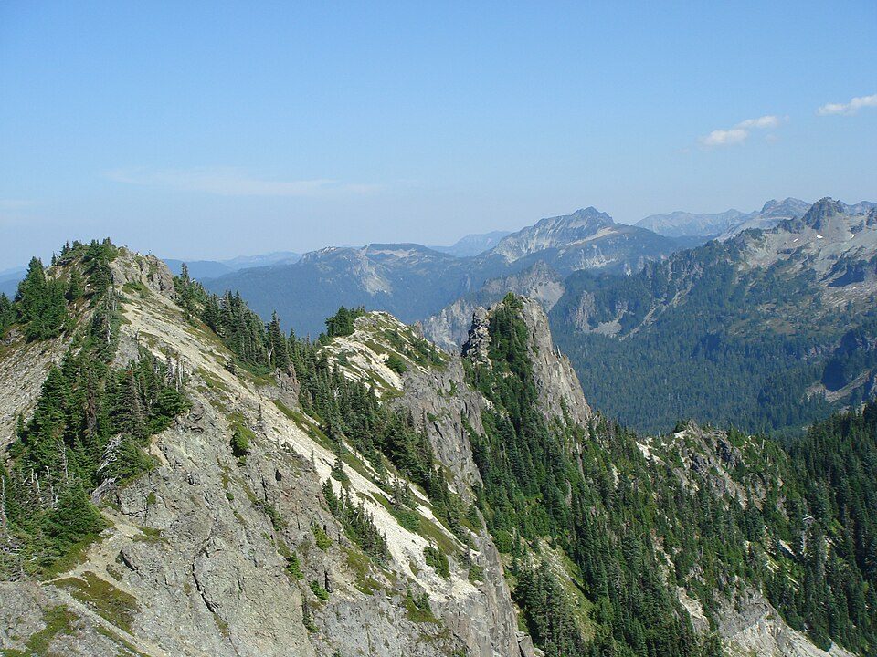
8 mi National ParkMount Rainier National Park1.6M visitors a year
30 mi Stadium & arenaTacoma Dome
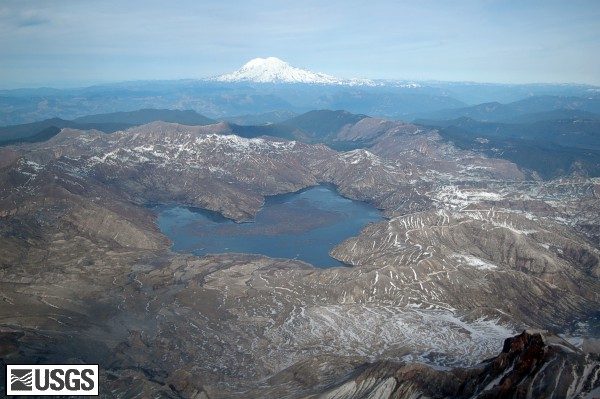
38 mi LakeSpirit Lake
32 mi Theme parkWild Waves Theme Park
38 mi Ski areaCrystal Mountain86 runs · 2,389 ft vertical7 mi Zoo & aquariumNorthwest Trek Wildlife ParkMount Rainier National Park: Ricardo Martins from Gent, Belgium, CC BY 2.0 · Tacoma Dome: Broran28, Public domain · Spirit Lake: Matt Logan, Public domain · Wild Waves Theme Park: Jessica Spengler from Hove, United Kingdom, CC BY 2.0 · Crystal Mountain: ZhengZhou, CC BY-SA 3.0
La Grande is unincorporated, so Pierce County and regional agencies provide most services.
EPA SDWIS (Oct 9, 2026) · HIFLD + EIA-861 2025 · Census 2020 ZCTAs · NCES 2024–25 · registration: vote.gov, updated Sep 30, 2026.
Ordered by what stands out in La Grande.
Count the trails in 3 parks and preserves and they come to 5.3 miles. The trail network density for La Grande comes to 1.2 miles per square mile, above both the Washington town median (0.8) and the median of U.S. towns (0.4). Parks and preserves locally: 3, covering 1,179 acres.
| Biggest places to walk | Trails | Acres |
|---|---|---|
| 1. Charles Lathrop Pack Experimental Forest | 3.1 mi | 1,045 |
| 2. Alder Lake Park | 1.5 mi | 125 |
| 3. Sunny Beach Point | 0.1 mi | 9 |
Trails & parks © OpenStreetMap contributors · Conserved land: USGS PAD-US
La Grande’s FEMA hazard score stands at 81 of 100. Expected losses in La Grande break down as 67% from avalanches and 18% from inland flooding.
FEMA National Risk Index · OpenFEMA
The typical July afternoon high for La Grande comes to 76°F.
NOAA U.S. Climate Normals, 1991–2020
72% of adults had a checkup this year in La Grande. Of 31 CDC measures, La Grande beats the Washington average on 1 and trails it on 18.
| La Grande | Washington towns | U.S. towns | |
|---|---|---|---|
| Frequent physical distress (CDC PLACES) | 16% | 13% | 14% |
| Yearly checkup (CDC PLACES) | 72% | 71% | 79% |
| High blood pressure (CDC PLACES) | 38% | 31% | 35% |
| Obesity (CDC PLACES) | 39% | 33% | 35% |
| What stands out | La Grande | WA |
|---|---|---|
| More adults treating high blood pressure | 73.3% | 70.7% |
| More adults with COPD | 7.2% | 5.1% |
CDC PLACES 2025 · modeled estimates for adults · CMS · HRSA
None within 15 miles of La Grande; the nearest are
About 4 of every 100 La Grande residents are enrolled in college, against 6 across Washington.
54.6% of the town is conserved land, across 3 parks and preserves.
Unincorporated community & CDP in Washington, United States
La Grande is an unincorporated community and census-designated place in Pierce County, Washington, United States. As of the 2020 census, La Grande had a population of 121. La Grande is located along Washington State Route 7 3.5 miles (5.6 km) southwest of Eatonville. La Grande has a post office with ZIP code 98348.
From Wikipedia, licensed CC BY-SA 4.0 · facts via Wikidata (CC0)
Short answers, built from the data on this page.
La Grande has fewer than 1,000 residents, too few for fair grades; the figures below are still real.