173 years in pictures
Census counts: 325 in 1910, a peak of 414 in 1950, 281 in 2020. The archive holds 9 old photos and papers going back to 2019 and 2 maps from 1951 on.
- 1853West Burke is settled
Each edition grades its towns against each other only.

West Burke has fewer than 1,000 residents, too few for fair grades; the figures below are still real.
Where West Burke beats most towns.
In a town this size, neighbors are the best guide. Ask them anything.
Census counts: 325 in 1910, a peak of 414 in 1950, 281 in 2020. The archive holds 9 old photos and papers going back to 2019 and 2 maps from 1951 on.
Who provides power, water and the rest in West Burke, and how to reach them.
EPA SDWIS (Oct 9, 2026) · HIFLD + EIA-861 2025 · Census 2020 ZCTAs · NCES 2024–25 · registration: vote.gov, updated Aug 3, 2026.
Ordered by what stands out in West Burke.
The top destinations are Lyndon (20%), Burke (12%) and St. Johnsbury (11%). Among residents in West Burke, 21% live below the poverty line, above both the Vermont town median (9.5%) and the median of U.S. towns (9.6%). The median commute is under 16 miles.
| West Burke | Vermont towns | U.S. towns | |
|---|---|---|---|
| Below the poverty line | 21% | 9.5% | 9.6% |
| Average trip to work | 25 minutes | 23 minutes | 25 minutes |
Census LEHD 2023 · ACS
July afternoons reach 78°, January nights drop to 4° and about 142 inches of snow falls in a winter.
NOAA U.S. Climate Normals, 1991–2020
Among adults in West Burke, 18% report frequent mental distress. Only one of the 72 Vermont towns we compare has a higher share of adults who sleep under 7 hours than West Burke.
| West Burke | Vermont towns | U.S. towns | |
|---|---|---|---|
| Depression (CDC PLACES) | 28% | 27% | 23% |
| Smoke cigarettes (CDC PLACES) | 15% | 12% | 14% |
| Sleep under 7 hours (CDC PLACES) | 35% | 30% | 36% |
| Frequent mental distress (CDC PLACES) | 18% | 16% | 17% |
| What stands out | West Burke | VT |
|---|---|---|
| More smokers | 15.2% | 11.2% |
| More adults facing a utility shut-off | 7.4% | 5.7% |
| More adults who get no exercise | 24.5% | 18.9% |
CDC PLACES 2025 · modeled estimates for adults · CMS · HRSA
Storm and flood damage is expected to run lower than in 58% of U.S. communities. Expected losses in West Burke break down as 73% from inland flooding and 10% from cold waves. Also worth knowing: households here have drawn federal disaster aid in 4 declared disasters, most recently in 2024.
FEMA disaster declarations and aid · FEMA National Risk Index · OpenFEMA
Museums, parks, gardens and other places to visit around West Burke. Close and well known come first.
9 mi LakeLake Willoughby
26 mi TheatreHaskell Free Library and Opera House
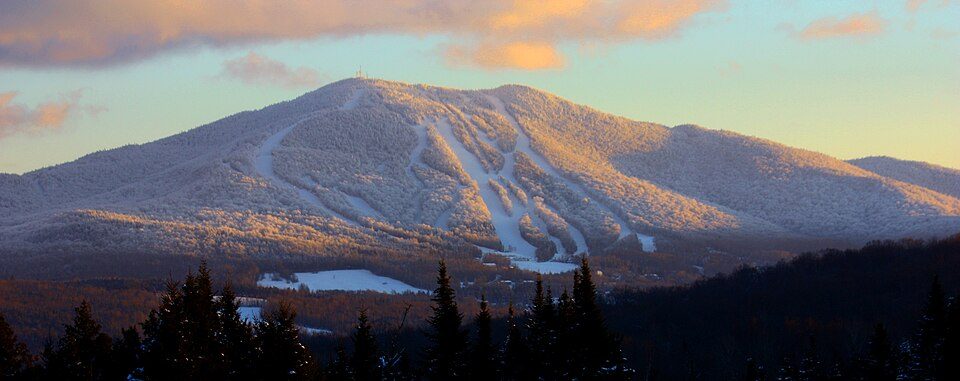
6 mi Ski areaBurke Mountain Resort61 runs · 1,990 ft vertical
35 mi Ski areaCannon Mountain104 runs · 2,201 ft vertical
33 mi Ski areaJay Peak Resort79 runs · 1,988 ft vertical
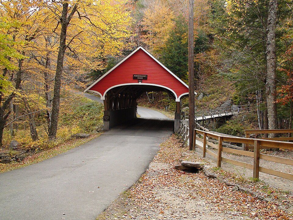
38 mi State parkFranconia Notch State ParkLake Willoughby: King of Hearts, CC BY-SA 4.0 · Haskell Free Library and Opera House: Thomsonmg2000, CC0 · Burke Mountain Resort: Patrick McCaffrey, CC BY-SA 3.0 · Cannon Mountain: Mikespenard at English Wikipedia, CC BY-SA 3.0 · Jay Peak Resort: Hanumanix at English Wikipedia, Public domain · Franconia Notch State Park: Stephen Sokolowski, CC BY-SA 3.0
None within 15 miles of West Burke; the nearest are
About 5 of every 100 West Burke residents are enrolled in college, against 7 across Vermont.
Where West Burke’s working residents go each day. Line width shows the share.
Census LEHD 2023
Village in Vermont, United States
West Burke is a village in the town of Burke, Caledonia County, Vermont, United States. The population was 281 at the 2020 census.
From Wikipedia, licensed CC BY-SA 4.0 · facts via Wikidata (CC0)
Short answers, built from the data on this page.
West Burke has fewer than 1,000 residents, too few for fair grades; the figures below are still real.