246 years in pictures
Census counts: 31 in 1790, a low of 31 in 1790, 177 in 2020. The archive holds 10 old photos and papers going back to 2004 and 4 maps from 1893 on.
- 1780Landgrove is settled
Each edition grades its towns against each other only.

91% of adults 25 and older hold a bachelor’s degree or more in Landgrove, against 40% in Vermont’s towns and 29% across U.S. towns. No town among the 72 in Vermont we compare has a higher median age than Landgrove. 16% of the land in Landgrove is conserved, close to Vermont’s towns (14%) and above U.S. towns (4.3%). The biggest place to walk is Green Mountain National Forest, 818 acres with 1.5 miles of trail. Landgrove has fewer than 1,000 residents, too few for fair grades; the figures below are still real.
Where Landgrove beats most towns.
In a town this size, neighbors are the best guide. Ask them anything.
Census counts: 31 in 1790, a low of 31 in 1790, 177 in 2020. The archive holds 10 old photos and papers going back to 2004 and 4 maps from 1893 on.
Who provides power, water and the rest in Landgrove, and how to reach them.
EPA SDWIS (Oct 9, 2026) · HIFLD + EIA-861 2025 · Census 2020 ZCTAs · NCES 2024–25 · registration: vote.gov, updated Aug 3, 2026.
Ordered by what stands out in Landgrove.
94% of Landgrove households own their home. The typical Landgrove home is worth about $771,000, about the same as a year ago, 97% above the Vermont typical home.
Census ACS, 2020–24 · Zillow Home Value Index · Redfin Data Center
Expected storm and flood damage is lower than in 81% of U.S. communities.
FEMA National Risk Index · OpenFEMA
| Biggest places to walk | Trails | Acres |
|---|---|---|
| 1. Green Mountain National Forest | 1.5 mi | 818 |
| 2. Wendy Evarts Memorial Forest | — | 23 |
| 3. Bobby Comfort Town Forest | — | 12 |
Trails & parks © OpenStreetMap contributors · Conserved land: USGS PAD-US
Landgrove has cold, snowy winters and pleasant summers, with plenty of rain. The July high in Landgrove is 78°F.
NOAA U.S. Climate Normals, 1991–2020
Landgrove beats the Vermont average on 1 of 31 CDC measures and trails it on 0. 26% of adults have obesity in Landgrove.
| Landgrove | Vermont towns | U.S. towns | |
|---|---|---|---|
| Obesity (CDC PLACES) | 26% | 30% | 35% |
| Frequent mental distress (CDC PLACES) | 15% | 16% | 17% |
| Get no exercise (CDC PLACES) | 18% | 19% | 25% |
| Diabetes (CDC PLACES) | 9% | 9.1% | 12% |
| What stands out | Landgrove | VT |
|---|---|---|
| More adults getting cholesterol checked | 88.1% | 85.9% |
CDC PLACES 2025 · modeled estimates for adults · CMS · HRSA
Museums, parks, gardens and other places to visit around Landgrove. Close and well known come first.
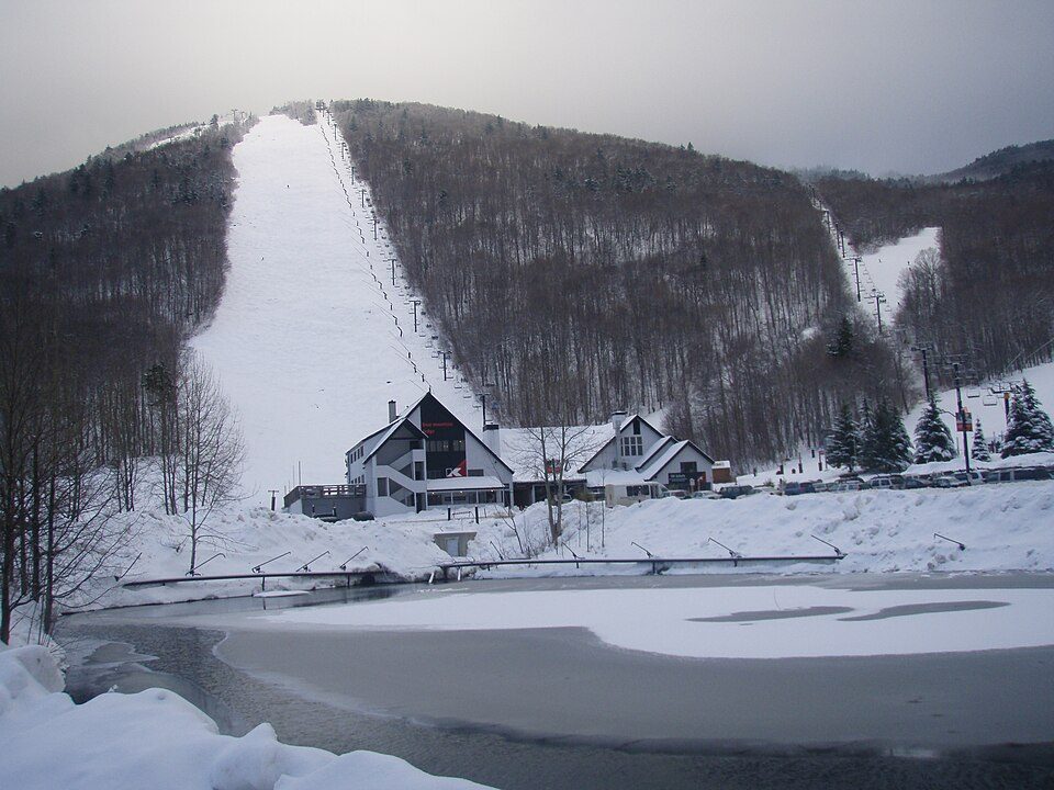
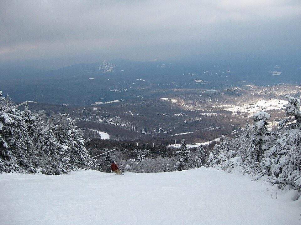
24 mi Ski areaKillington Resort184 runs · 3,031 ft vertical
12 mi Ski areaOkemo Mountain119 runs · 2,165 ft vertical
12 mi Ski areaStratton Mountain Resort106 runs · 1,899 ft vertical
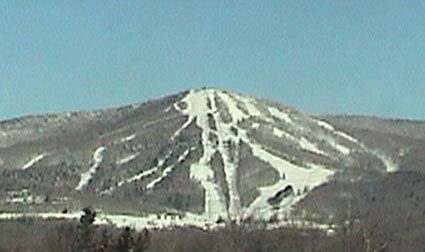
5 mi Ski areaBromley Mountain Ski Resort;Bromley Mountain67 runs · 1,297 ft vertical
21 mi Ski areaMount Snow119 runs · 1,648 ft vertical
32 mi LandmarkBennington Battle MonumentKillington Resort: NHRHS2010, CC BY-SA 3.0 · Okemo Mountain: Jrclark (talk), CC BY-SA 3.0 · Stratton Mountain Resort: Rudi Riet from Washington, DC, United States, CC BY-SA 2.0 · Bromley Mountain Ski Resort;Bromley Mountain: Jrclark (talk), CC BY-SA 3.0 · Mount Snow: William J Sisti from Morristown, NJ, USA, CC BY-SA 2.0 · Bennington Battle Monument: Phil Boucher, CC BY-SA 3.0
None within 15 miles of Landgrove; the nearest are
About 3 of every 100 Landgrove residents are enrolled in college, against 7 across Vermont.
Town in Vermont, United States
Landgrove is a town in Bennington County, Vermont, United States. The population was 177 at the 2020 census.
From Wikipedia, licensed CC BY-SA 4.0 · facts via Wikidata (CC0)
Short answers, built from the data on this page.
Landgrove has fewer than 1,000 residents, too few for fair grades; the figures below are still real.