
17301 ANTIQUES, 2018
Gargatha’s story
138 years in pictures
The archive holds 2 old photos and papers going back to 2018 and 3 maps from 1942 on.
- 1888Gargatha is settled
Each edition grades its towns against each other only.
A town of 564, settled in 1888.
Gargatha has fewer than 1,000 residents, too few for fair grades; the figures below are still real.
In a town this size, neighbors are the best guide. Ask them anything.
The archive holds 2 old photos and papers going back to 2018 and 3 maps from 1942 on.
Gargatha is unincorporated, so Accomack County and regional agencies provide most services.
EPA SDWIS (Oct 9, 2026) · HIFLD + EIA-861 2025 · Census 2020 ZCTAs · NCES 2024–25 · registration: vote.gov, updated Sep 30, 2026.
Ordered by what stands out in Gargatha.
Jobs based in Gargatha grew to 43 in 2023, 30 more than in 2013. Its average trip to work is 20 minutes, below both the Virginia town median (27 minutes) and the median of U.S. towns (25 minutes). 14% of residents live below the poverty line in the town. The top destinations are Accomac (9%), Chincoteague (5%) and Nelsonia (3%).
| Gargatha | Virginia towns | U.S. towns | |
|---|---|---|---|
| Average trip to work | 20 minutes | 27 minutes | 25 minutes |
| Below the poverty line | 14% | 7.7% | 9.6% |
Census LEHD 2023 · ACS
Gargatha’s risk rating from FEMA is 68 of 100. FEMA puts nearly two thirds of the town’s expected hazard losses down to hurricanes, and 21% to inland flooding.
FEMA National Risk Index · OpenFEMA
The range runs from 31° on a January night to 86° on a July afternoon, with about 8 inches of snow a winter.
NOAA U.S. Climate Normals, 1991–2020
In Gargatha, 37% of adults feel lonely, against 34% in Virginia’s towns and 33% across U.S. towns. The share of adults in Gargatha who have diabetes: 17%.
| Gargatha | Virginia towns | U.S. towns | |
|---|---|---|---|
| High blood pressure (CDC PLACES) | 44% | 33% | 35% |
| Diabetes (CDC PLACES) | 17% | 11% | 12% |
| Fair or poor health (CDC PLACES) | 27% | 17% | 19% |
| Get no exercise (CDC PLACES) | 33% | 23% | 25% |
| What stands out | Gargatha | VA |
|---|---|---|
| More older adults who have lost all their teeth | 23.9% | 11.1% |
| More adults facing food insecurity | 21.7% | 13.1% |
| More adults facing housing insecurity | 17.2% | 10.9% |
CDC PLACES 2025 · modeled estimates for adults · CMS · HRSA
2.5 miles of trail. The trail density in Gargatha is 0.8 miles per square mile.
| Gargatha | Virginia towns | U.S. towns | |
|---|---|---|---|
| Miles of trail per square mile | 0.8 miles per square mile | 0.7 | 0.4 |
| Conserved land | 7.4% | 4.7% | 4.3% |
Trails & parks © OpenStreetMap contributors · Conserved land: USGS PAD-US
Museums, parks, gardens and other places to visit around Gargatha. Close and well known come first.
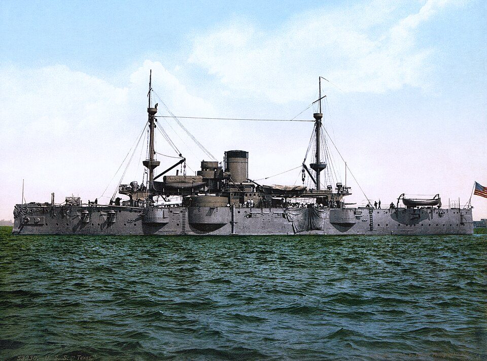 28 mi Ancient siteUSS Texas
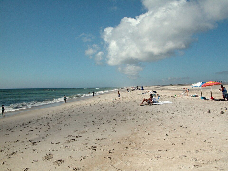 10 mi National SeashoreAssateague Island National Seashore2.3M visitors a year
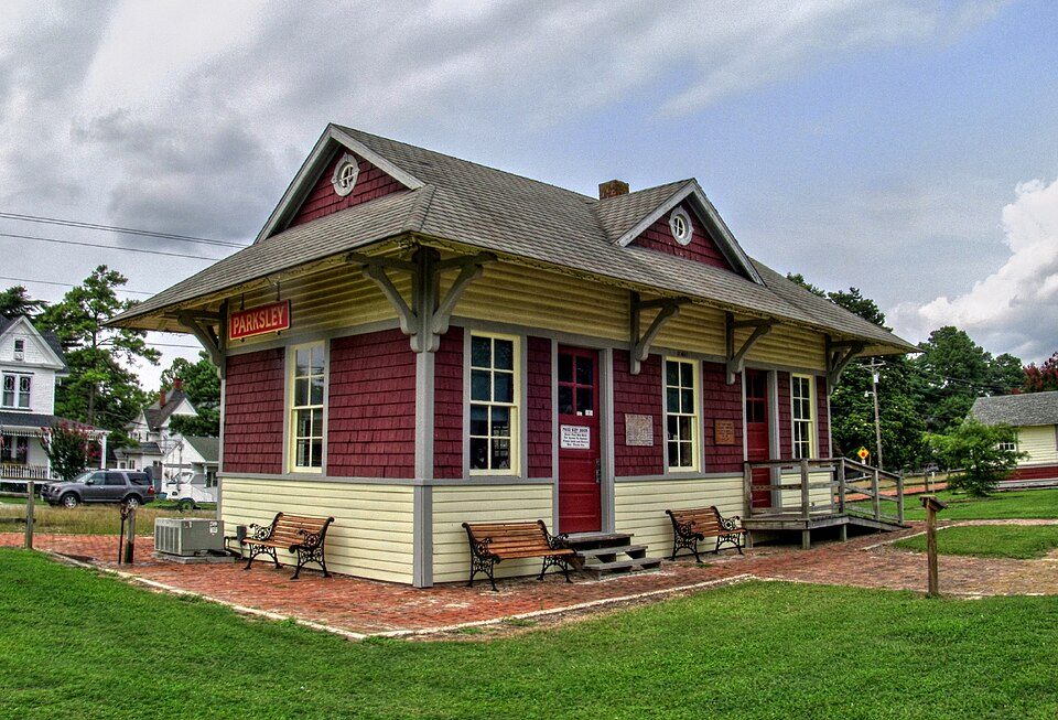 4 mi MuseumEastern Shore Railway Museum39 mi Zoo & aquariumSalisbury Zoo
 12 mi MuseumNASA Visitor Center
 38 mi GardenSalisbury University Arboretum
USS Texas: Unknown authorUnknown author, Public domain · Assateague Island National Seashore: Fritz Geller-Grimm, CC BY-SA 2.5 · Eastern Shore Railway Museum: Pi.1415926535, CC BY-SA 3.0 · NASA Visitor Center: Leonard J. DeFrancisci, CC BY-SA 3.0 · Salisbury University Arboretum: Leonard J. DeFrancisci, CC BY-SA 3.0
1 within 15 miles of the center of Gargatha
About 1 of every 100 Gargatha residents are enrolled in college, against 7 across Virginia.
Where Gargatha’s working residents go each day. Line width shows the share.
Census LEHD 2023
Census-designated place in Virginia, United States
Gargatha is a census-designated place (CDP) in Accomack County, Virginia, United States. Per the 2020 census, the population was 415.
From Wikipedia, licensed CC BY-SA 4.0 · facts via Wikidata (CC0)
Short answers, built from the data on this page.
Gargatha has fewer than 1,000 residents, too few for fair grades; the figures below are still real.


