176 years in pictures
Census counts: 597 in 1930, 81,773 in 2020. The archive holds 18 old photos and papers going back to 1890 and 5 maps from 1955 on.
7 places on the National Register of Historic Places.
- 1850Layton is settled
Each edition grades its towns against each other only.

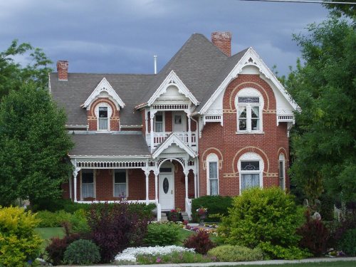
Layton is a solid, middle-of-the-road choice. It grades A− overall, 37th of 118 graded towns in Utah, with no subject far below average. Its best mark is health: it is healthier than 85% of U.S. towns. It also does better than most on incomes: the median household earns $102K. A typical home there costs about $521K, 5.2 years of the Ogden metro’s $101K median household income. Layton is home to Eagle Gate College-Layton. Layton's civic life (library use, community groups, volunteering) trails 92% of U.S. towns. Layton has 7 places on the National Register of Historic Places, among them John Henry Layton House and George W. Layton House.
Where Layton beats most towns.
Census counts: 597 in 1930, 81,773 in 2020. The archive holds 18 old photos and papers going back to 1890 and 5 maps from 1955 on.
7 places on the National Register of Historic Places.
Each subject compared with towns across the country (schools within Utah), ordered by how far Layton is from typical.
How TownRatings grades towns →
Museums, parks, gardens and other places to visit around Layton. Close and well known come first.
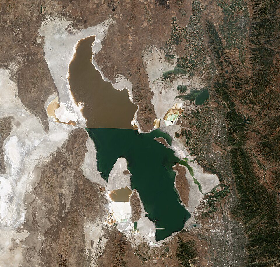
Big draw33 mi LakeGreat Salt Lake
Big draw22 mi Stadium & arenaDelta Center
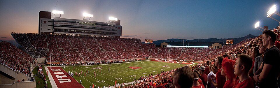
23 mi Stadium & arenaRice–Eccles Stadium
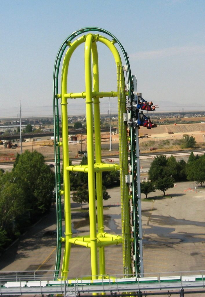
7 mi Theme parkLagoon Amusement Park10 mi Ski areaSnowbasin Resort157 runs · 3,000 ft vertical
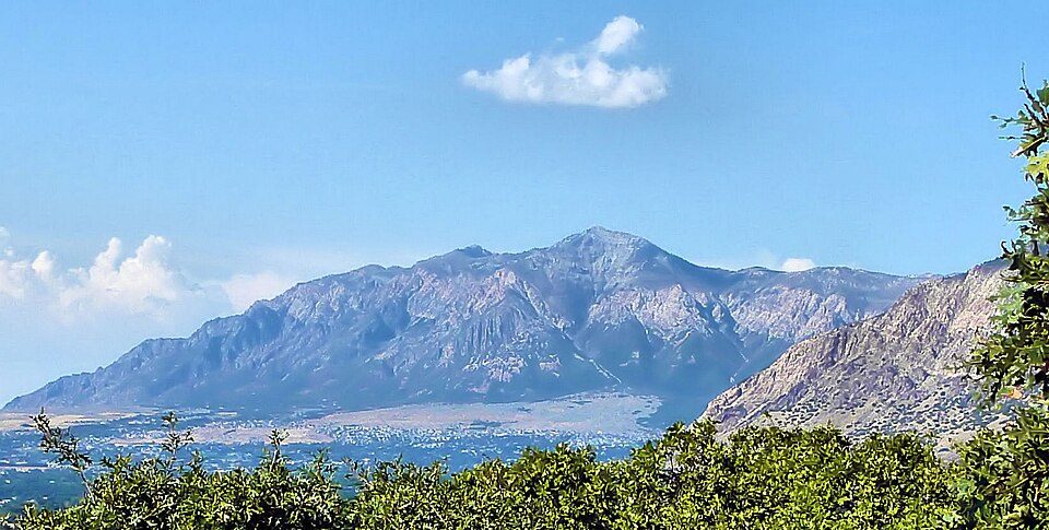
20 mi MountainBen Lomond MountainGreat Salt Lake: Copernicus Sentinel-2, ESA, CC BY-SA 3.0 igo · Delta Center: Lomrjyo, CC BY-SA 4.0 · Rice–Eccles Stadium: Brenton Walker, CC BY 2.0 · Lagoon Amusement Park: Davehi1, Public domain · Ben Lomond Mountain: Joe Tordiff, CC BY-SA 2.0
Who provides power, water and the rest in Layton, and how to reach them.
EPA SDWIS (Oct 9, 2026) · HIFLD + EIA-861 2025 · Census 2020 ZCTAs · NCES 2024–25 · registration: vote.gov, updated Mar 13, 2026.
Ordered by what stands out in Layton.
Layton has added a third more jobs in ten years and is healthy by national standards but mid-pack in Utah.
Within Utah it is healthier than 50% of the 118 graded towns: Utah sets a high bar.
11% of Layton adults binge drink, where Utah’s towns sit at 11% and U.S. towns at 16%. 29% of Layton adults have been diagnosed with depression. Layton tracks Utah closely on all 32 CDC measures.
| Layton | Utah towns | U.S. towns | |
|---|---|---|---|
| Binge drink (CDC PLACES) | 11% | 11% | 16% |
| Depression (CDC PLACES) | 29% | 28% | 23% |
| High blood pressure (CDC PLACES) | 27% | 28% | 35% |
| Smoke cigarettes (CDC PLACES) | 7.7% | 8% | 14% |
CDC PLACES 2025 · modeled estimates for adults · CMS · HRSA
Its public schools are run by the Davis District. Three of its 29 schools are below, each with why it’s listed.
| School | Level | Students | Letter |
|---|---|---|---|
| Sunburst SchoolLargest public elementary schoolGrades PK–6 | Grades PK–6 | 871 | B+ |
| Layton HighLargest public high schoolGrades 10–12 | Grades 10–12 | 2,231 | C+ |
| No. UT. Acad. for Math Engineering & ScienceTop results in townGrades 9–12 | Grades 9–12 | 667 | A+ |
NCES · EDFacts · graded within UT on state tests and graduation
20 miles of trail in 19 parks and preserves. Uinta-Wasatch-Cache National Forest, at 226 acres with 1 miles of trail, is the biggest park or preserve. At 0.9 miles per square mile, Layton’s trail density is below Utah’s towns (1.1) but above U.S. towns (0.4).
| Layton | Utah towns | U.S. towns | |
|---|---|---|---|
| Miles of trail per square mile | 0.9 miles per square mile | 1.1 | 0.4 |
| Conserved land | 1.6% | 3.5% | 4.3% |
| Biggest places to walk | Trails | Acres |
|---|---|---|
| 1. Ellison Park | 1.4 mi | 91 |
| 2. Uinta-Wasatch-Cache National Forest | 1 mi | 226 |
| 3. Harmony Place Park | 0.8 mi | 12 |
Trails & parks © OpenStreetMap contributors · Conserved land: USGS PAD-US
Layton has chilly, snowy winters and warm summers, with very little rain. Layton’s July high is 92°F.
NOAA U.S. Climate Normals, 1991–2020
Jobs based here grew from 21,690 in 2013 to 28,571.
Most working residents leave Layton for work: only 14% work in town. Jobs based in Layton grew to 28,571 in 2023, 6,881 more than in 2013. The top destinations are Salt Lake City (17%), Ogden (10%) and Clearfield (6%).
| Layton | Utah towns | U.S. towns | |
|---|---|---|---|
| Working residents who work in town | 14% | 8.2% | 8% |
| Median household income | $102,000 | $101,000 | $80,000 |
| Work from home | 16% | 16% | 11% |
| Average trip to work | 23 minutes | 22 minutes | 25 minutes |
Census LEHD 2023 · ACS
Expected storm and flood damage is lower than in 64% of U.S. communities. Since 1983, 6 flood insurance claims have been paid out in Layton.
FEMA flood insurance claims · FEMA National Risk Index · OpenFEMA
No broad age group is more than 4 points off the Utah average. 11% of residents are 65 or older in Layton. Layton has grown 4.3% since 2020, to 85,308 residents in the Census Bureau’s 2025 estimate.
| Layton | Utah towns | U.S. towns | |
|---|---|---|---|
| Median age | 32.3 years | 32.7 years | 40.5 years |
| Under 18 | 29% | 30% | 22% |
| Aged 65 or older | 11% | 11% | 18% |
| Bachelor’s degree or more, 25+ | 37% | 36% | 29% |
49% women, 51% men
That’s an even split within the survey’s margin of ±1 point. Across Utah, 49.3% of residents are women. Median age: women 32.8, men 31.8.
| Layton | UT | U.S. | |
|---|---|---|---|
| Under 10 | 14.9% | 14.6% | 11.6% |
| 10 to 17 | 14% | 13.2% | 10.3% |
| 18 to 24 | 9.1% | 11.6% | 9.1% |
| 25 to 34 | 15.8% | 14.8% | 13.7% |
| 35 to 44 | 14.7% | 13.8% | 13.2% |
| 45 to 54 | 11.7% | 11% | 12.2% |
| 55 to 64 | 8.8% | 9.1% | 12.7% |
| 65 to 74 | 7.1% | 7.3% | 10.2% |
| 75 and older | 3.8% | 4.6% | 7% |
| No diploma | 4.5% | 6.6% | 10.4% |
| High school | 24.4% | 22.3% | 26% |
| Some college | 24.3% | 23.5% | 19.1% |
| Associate’s | 10.2% | 9.9% | 8.8% |
| Bachelor’s | 22.5% | 24.7% | 21.6% |
| Graduate | 14% | 13% | 14.1% |
Census population estimates, 2025 · U.S. Census Bureau · ACS 2020-2024 5-year estimates
The typical Layton home is worth about $521,000, up 2.3% in a year, close to the Utah typical home.
| Layton | Utah towns | U.S. towns | |
|---|---|---|---|
| Median rent | $1,538 a month | $1,542 a month | $1,185 a month |
| Households that own their home | 73% | 79% | 73% |
Zillow Home Value Index · Redfin Data Center
The property crime rate in Layton is 13.2 per 1,000 residents.
| Layton | Utah towns | U.S. towns | |
|---|---|---|---|
| Property crimes per 1,000 (2025) | 13.2 per 1,000 residents | 8.6 | 9.9 |
| Violent crimes per 1,000 (2025) | 1.3 per 1,000 residents | 1.4 | 1.6 |
FBI crime data, 2025 · crimes reported to police
2 within 15 miles of the center of Layton
About 6 of every 100 Layton residents are enrolled in college, against 8 across Utah.
67,311 counted in 2010 and 81,773 in 2020; an estimated 85,308 in 2025.
U.S. Census 2010 & 2020 counts · Census Bureau estimate, July 1, 2025
7 places in Layton on the National Register of Historic Places.
14 notable people were born in Layton.


City in Utah, United States
Layton (/ˈleɪʔɪn/) is a city in Davis County, Utah, United States. It is part of the Ogden-Clearfield Metropolitan Statistical Area. As of the 2020 census, the city had a population of 81,773, with 2022 Census Bureau estimates showing an increase to 82,601. 2024 estimates place Layton's population at 87,392. Layton is the most populous city in Davis County and the ninth most populous in Utah. Layton has direct access to Salt Lake City, Ogden, Salt Lake City International Airport, Antelope Island, and the FrontRunner commuter rail. Layton City is a leader in economic development for the region, with immediate adjacency to Hill Air Force Base, a large hospitality district (1,000+ hotel beds) …
From Wikipedia, licensed CC BY-SA 4.0 · facts via Wikidata (CC0)
3 towns share a border with Layton.
| Town | UT rank | Overall | Cost | Safety | Schools | Health |
|---|---|---|---|---|---|---|
| Layton | #37 | A− | B− | B− | B+ | A |
| Kaysville | #4 | A+ | C+ | A− | B+ | A |
| Clearfield | #75 | B+ | C+ | C+ | B+ | B+ |
| South Weber | #43 | A− | C+ | — | B+ | A |
South Weber reports no FBI crime data of its own. Compare Layton with a neighbor →
Short answers, built from the data on this page.
By most measures, yes. Layton grades A− overall, better than 84% of U.S. towns and #37 of 118 in Utah. It grades A for health, B− for safety and B+ for schools.
Cost of living, which also weighs rents, property taxes and how many households pay 30% or more of their income for housing, grades B−.
14 notable people were born here, including Christine Cavanaugh and John Collins.