Escalante dates to 1875, and 31% of its homes were built before 1940
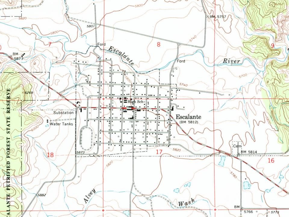
1 place in town is on the National Register, among them a historic district with 124 buildings. Below: 12 old photos and papers, maps from 1964 on, and the census since 1880.
Nothing in the archives for these yearsWeddings on Main Street, storms, parades, school pictures, the old store. If it’s in your family album, it belongs here.
In 1776, Silvestre Vélez de Escalante and Francisco Atanasio Domínguez left Santa Fe, New Mexico attempting to find a route to the missions of California. The Dominguez–Escalante Expedition followed a route north through western Colorado, west across central Utah, and then southwest through what is now called the Escalante Desert, finally circling back to the east after reaching Arizona near the north rim of the Grand Canyon. They returned to Santa Fe having never entered California or the areas near the city of Escalante. In 1866; Captain James Andrus led members of the Southern Utah militia through the Escalante area during the Black Hawk Indian War. The valley east of the Escalante Mountains, where the city of Escalante is located, was named Potato Valley since the group had found wild potatoes growing there.
Founding dates: Wikidata, Wikipedia, the U.S. post office records of Blevins & Helbock (CC0) and the Census. Homes by year built: Census ACS 2020–24. National Register of Historic Places: National Park Service (list of May 22, 2026). Old photos, postcards and papers: Wikimedia Commons, the Library of Congress and other public archives, credited on each item’s page. Maps: U.S. Geological Survey historical topographic maps (via Esri) and Sanborn fire-insurance maps (Library of Congress). History text and census tables: Wikipedia (CC BY-SA 4.0). Places that used to be: USGS Geographic Names Information System (2021). How TownRatings grades history →
From the Library of Congress (12), the National Register of Historic Places (1), Wikipedia, U.S. Geological Survey historical maps, U.S. Census counts (via Wikipedia), the US Post Offices dataset (Blevins & Helbock) and the USGS Geographic Names Information System. Archive images are copied here with their credits and licenses, shown on each photo’s page. Refreshed monthly.


 1936
 1936
 1936
 1936
 1936
 1936
 1936
 1936
 1936
 1936
 1936
 1936