Clarkston dates its founding to 1864 (Wikidata and Wikipedia’s history agree). The census first counted it in 1870.
First census: 153 in 18702020 census: 749162 years
How did Clarkston get its name?
Clarkston was named for Israel Justus Clark, who was an early settler and the first branch president of the Church of Jesus Christ of Latter-day Saints in Clarkston.
Founding year: Wikidata; Wikipedia’s history section gives the same year. First post office: 1871. Name: Wikipedia, licensed CC BY-SA 4.0.The full story ↓
What stands out about Clarkston’s past
Read from the archive, the National Register and the record. The page puts what stands out first.
The town of Clarkston was laid out in 1864. It was named for Israel Justus Clark, who was an early settler and the first branch president of the Church of Jesus Christ of Latter-day Saints in Clarkston.
The settlers originally settled east of modern-day Clarkston in a spot known as the flat. Due to water quality concerns and sickness, they moved the town to a higher elevation and closer to City Creek and other springs. They also experimented in dry farming, mainly north of town. There was trouble with the native Americans, and in 1866 the settlement was abandoned for a short time. Eventually, an agreement was made between the settlers and Indian John, a chief under the Washakie.
National Park Service, National Register of Historic Places. Photos from Wikimedia Commons, credited on each place’s page.
People over time
Clarkston, census by census
Grew from 153 people in 1870 to 749 in 2020, 4 times over.
16 censuses, 1870–2020.
U.S. Census Bureau decennial counts, from the census table on Clarkston’s Wikipedia page.
Questions about Clarkston’s history
What year was Clarkston founded?
In 1864, according to Wikidata and Wikipedia’s history of the town. Clarkston’s post office opened in 1871, and the census of 1870 counted 153 people here.
What is on the National Register in Clarkston?
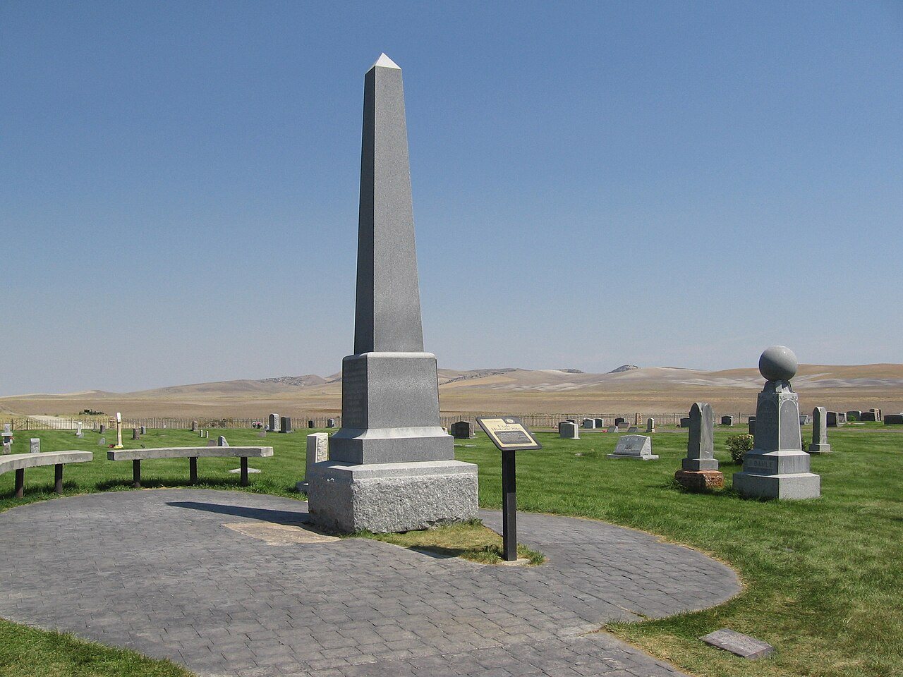
Two places: the Harris, Martin, Gravesite (listed 1980) and the Clarkston Tithing Granary (1985).
Founding dates: Wikidata, Wikipedia, the U.S. post office records of Blevins & Helbock (CC0) and the Census. Homes by year built: Census ACS 2020–24. National Register of Historic Places: National Park Service (list of May 22, 2026). Old photos, postcards and papers: Wikimedia Commons, the Library of Congress and other public archives, credited on each item’s page. Maps: U.S. Geological Survey historical topographic maps (via Esri) and Sanborn fire-insurance maps (Library of Congress). History text and census tables: Wikipedia (CC BY-SA 4.0). Places that used to be: USGS Geographic Names Information System (2021). How TownRatings grades history →
From Wikimedia Commons (2), Wikidata (1), the National Register of Historic Places (2), Wikipedia, Wikidata and Wikipedia for famous people, U.S. Geological Survey historical maps, U.S. Census counts (via Wikipedia), the US Post Offices dataset (Blevins & Helbock) and the USGS Geographic Names Information System. Archive images are copied here with their credits and licenses, shown on each photo’s page. Refreshed monthly.



 2016
 2006

