Centerville dates to 1847, and 27 of its places are on the National Register
More historic than 67% of U.S. towns · #16 of 119 in Utah. What drives it
Most of Centerville was built recently: 3% of its homes predate 1940 and the median home dates from 1987. Below: maps from 1952 on and the census since 1860.
Founding year: Wikipedia. First post office: 1854.The full story ↓
History grade
What drives Centerville’s History grade
On its age, its old homes and the National Register, Centerville is more historic than 67% of U.S. towns, #16 of 119 in Utah. Its National Register listings hold the grade up; its share of homes from before 1940 pulls it down.
B+
HistoryA character grade: shown, never part of Centerville’s overall grade.
Utah towns list more on the Register than most of the country (a typical Utah town has 3.0 per 10,000 residents, the U.S. 2.4), so Centerville’s 27.0 sits above most of its state (75% of Utah towns have fewer) while its 45 historic buildings outnumber those of 84% of U.S. towns.
How sure. Graded on any two of the three inputs instead, the letter would range from B− to A−. The pre-1940 share (±2.4 points) is firm at this size. Two sources give 1847.
Founding year: Wikipedia (other dates in Quick answers). Homes: Census ACS 2020–24. National Register: National Park Service, May 2026 list; each listing counted once (boundary changes and added documentation belong to their listing), and a historic district counts its contributing buildings. How TownRatings grades history →
What stands out about Centerville’s past
Read from the archive, the National Register and the record. The page puts what stands out first.
National Park Service, National Register of Historic Places. Photos from Wikimedia Commons, credited on each place’s page.
Places that used to be
Old corners and burying grounds
Centerville’s post office has been open since 1854.
Hamlets and corners on the map
Applewood EstatesB and BBenchmark VillageBonito VerdeBrentwood EstatesCannon HillsCasa LomaCenter VillageCenterville AcresChandlerChase Lane EstatesChase Lane VillageChase Lane WestCircle View HeightsDeuel Creek EstatesDeuel Creek HeightsDuncan EstatesEvergreenFloreceGreen MeadowsHillcrestL Marlene VillaMain Street Island ViewMajor
1cemetery inside Centerville
Centerville Memorial Park
US Post Offices dataset (Blevins & Helbock, CC0). Places and cemeteries from the USGS Geographic Names Information System (2021).
Help out
Start Centerville’s collection
The first neighbors to add old photos shape how Centerville’s history is told.
Decades since 1900 with photos
00s10s20s30s40s50s60s70s80s90s
0 of 10 decades. The empty ones are waiting for someone’s album.
Centerville was first settled by Thomas Grover in the autumn of 1847. The community was originally known as Deuel Settlement but was renamed to Cherry Creek after the Cherry family arrived. After an 1850 survey found the town was located precisely between Farmington and Bountiful, it became known as Centerville, and it was this name that stuck.
In 1849, Shadrach Roundy's family farmed in the general vicinity of Centerville, and in the winter of 1849 he built a grist mill on Deuel Creek. He also made molasses from corn stalks at this mill.
In 1851, a log school house was built in Centerville but was replaced by an adobe building in 1854 by a much larger building in 1862.
In 1847, according to Wikipedia’s history of the town. Centerville’s post office opened in 1854, and the census of 1860 counted 475 people here.
How does Centerville rank for history?
Centerville is more historic than 67% of U.S. towns, #16 of 119 in Utah. The History grade combines the town’s founding era, the share of homes built before 1940 and its National Register listings. It’s a character grade, so it isn’t part of the overall grade. How it works.
What is on the National Register in Centerville?
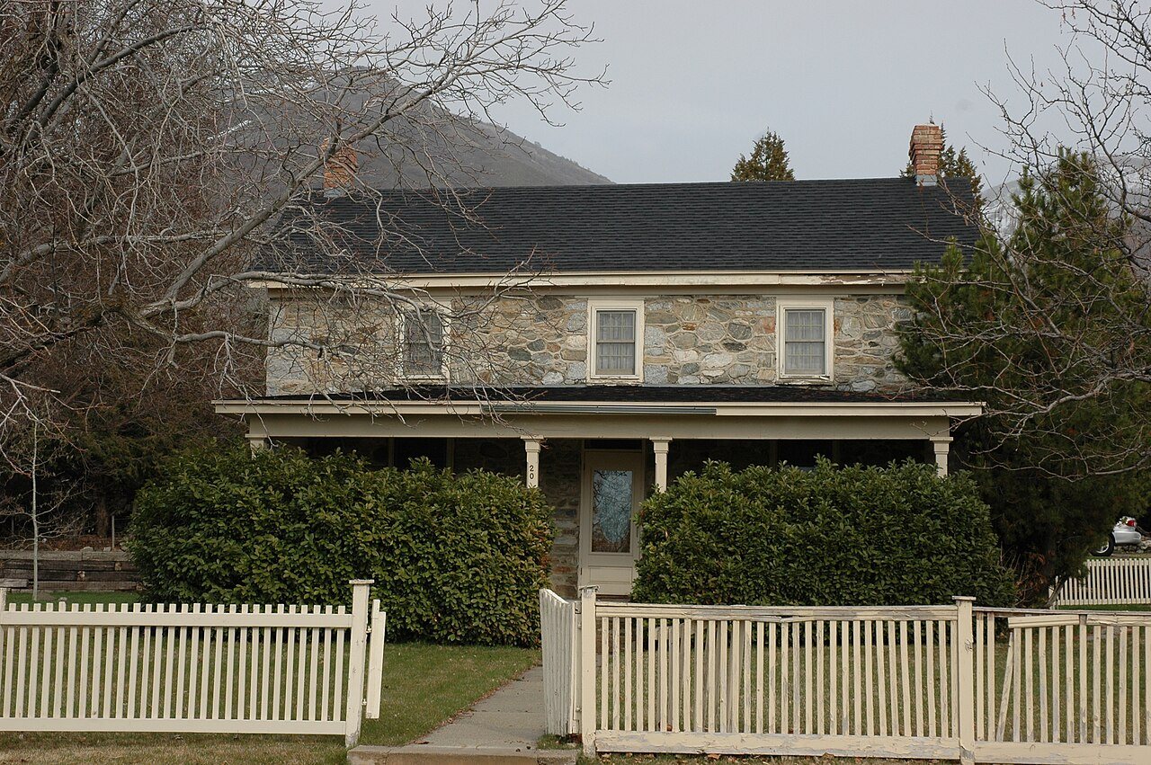
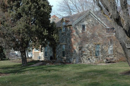
27 listings: 27 buildings, among them the Melvin Harley Randall House (listed 1980, the first). 45 historic buildings in all.
How old are the homes in Centerville?
3% of Centerville’s homes were built before 1940 (Census estimate, ±2.4 points), against a typical 2.8% for an Utah town; the median home was built in 1987.
Founding dates: Wikidata, Wikipedia, the U.S. post office records of Blevins & Helbock (CC0) and the Census. Homes by year built: Census ACS 2020–24. National Register of Historic Places: National Park Service (list of May 22, 2026). Old photos, postcards and papers: Wikimedia Commons, the Library of Congress and other public archives, credited on each item’s page. Maps: U.S. Geological Survey historical topographic maps (via Esri) and Sanborn fire-insurance maps (Library of Congress). History text and census tables: Wikipedia (CC BY-SA 4.0). Places that used to be: USGS Geographic Names Information System (2021).
From Wikidata (6), the National Register of Historic Places (27), Wikipedia, Wikidata and Wikipedia for famous people, U.S. Geological Survey historical maps, U.S. Census counts (via Wikipedia), the US Post Offices dataset (Blevins & Helbock) and the USGS Geographic Names Information System. Archive images are copied here with their credits and licenses, shown on each photo’s page. Refreshed monthly.