🌳 Parks & outdoors · Hiking trail
Mt. Superior Trailhead
Local
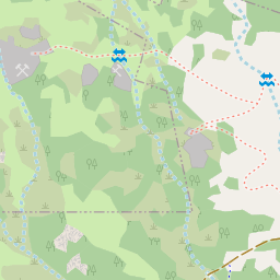
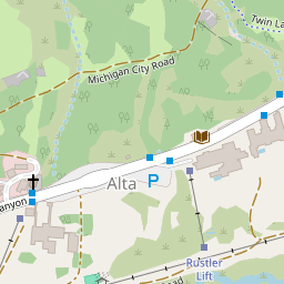
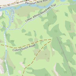
A hiking trail in Alta, with 16 places within a five-minute walk. One of 20 parks & outdoors in Alta.
© OpenStreetMap contributors Where it isIn Alta
The nearest neighbor is Alta Town Hall, 3 min walk away.
Directions →
Mt. Superior TrailheadOther parks & outdoorsEverything elseFive-minute walk
Sports And Recreation › Recreational Trail Or Path › Hiking Trail
Sporting Goods
Know Mt. Superior Trailhead? .
Around the cornerMake an afternoon of it
16 places within a five-minute walk of Mt. Superior Trailhead.
PhotosNo photos yet
Be the first to show what Mt. Superior Trailhead looks like.
Sign in to add a photo.
Neighbor reviewsNo reviews yet
What should the next neighbor know?
More like thisMore parks & outdoors in Alta
Local favorites first.
All 20 →🌳
Park · Highway 210 Little Cottonwood Canyon
✎
🍽️
✎
🌳
Ski resort · 10010 Little Cottonwood Canyon Rd
✎
🏨
Ski resort · 10230 E State Highway 210
✎
🌳
Ski resort · Albion Basin Rd
✎
🥾
Hiking trail · Albion Basin Rd
✎
Fix a detailWrong hours or phone? Moved or closed? Neighbors keep this right.✎
Sign in to suggest a change or confirm one.
Talk about Mt. Superior Trailhead
Tips, questions and shout-outs from Alta neighbors.
Weigh in
Is Mt. Superior Trailhead the best place to get outside in Alta?
Your answer becomes a post in Town Square.
Start the conversation
Some place details from Overture Maps (CDLA-Permissive-2.0). Changes go live once a second neighbor confirms them.
← All places in Alta