- Address
- Northgate Street, Devizes
- Record
- 1251678
3, Northgate Street
Northgate Street, Devizes
Many listed buildings are private homes. Please enjoy them from the street.
About 3, Northgate Street
The house at 3, Northgate Street is one of 43 Grade II* listed buildings in Devizes and about 22,127 in England. It was among the first 121 buildings in Devizes to be listed, on 9 April 1954. It stands in the Devizes conservation area, designated in 1970. Within 400 metres are 5 more Grade I buildings and 188 other listed buildings.
HERead the official list entryHistoric England’s description of the building, its history and why it is listed · List entry 1251678↗Grade II* is for particularly important buildings of more than special interest, about 5.8% of all listed buildings in England. Listing protects the whole building, inside and out: changes need listed building consent from the council.
Make it a walk: 5 listed buildings in about 10 minutes
Northgate Street, Devizes · about 0.4 miles on foot, as the crow flies
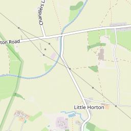
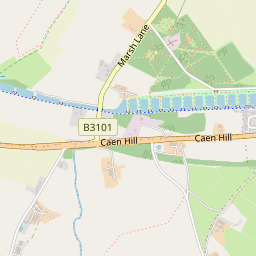
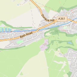
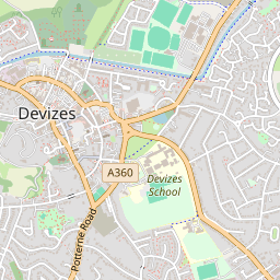


- 13, Northgate StreetStart here
- 2
 SandcliffeGrade II* · 0.1 mi on
- 3
 The Bear HotelGrade II* · 0.2 mi on
- 4
 29 and 30, St John's StreetGrade II* · 0.1 mi on
- 5
 Church of St John the BaptistGrade I · 0.1 mi on


44 more listed buildings within 150 metres
Grade I and II* ones open their own page; Grade II ones open the official list entry.
Show the other 26
Grade I and II* houses near Devizes
Within 25 miles, with a photo.


Questions about 3, Northgate Street
Is 3, Northgate Street listed?
Yes. 3, Northgate Street is listed Grade II* on the National Heritage List for England (list entry 1251678), first listed on 9 April 1954.
Can you visit 3, Northgate Street?
Many listed buildings are private homes; this one can be seen from the street.
Is 3, Northgate Street in a conservation area?
Yes, the Devizes conservation area, designated in 1970.
© Historic England 2026. Contains Ordnance Survey data © Crown copyright and database right 2026. Check an entry on Historic England’s website before relying on it. Photos: Wikimedia Commons and Geograph, credited above, copied to our own server. Map tiles © OpenStreetMap contributors.
Sources: Historic England, National Heritage List for England (listed buildings, scheduled monuments, registered parks and gardens, battlefields, World Heritage Sites), October 2026, inside the ONS 2022 built-up-area boundary · Historic England conservation areas (supplied by local planning authorities; October 2026). All under the Open Government Licence v3.0.
Contains public sector information licensed under the Open Government Licence v3.0. Contains HM Land Registry data © Crown copyright and database right 2026. Contains OS data © Crown copyright and database right 2026 (ONS boundaries). Northern Ireland: Source: NISRA; contains Land & Property Services data and Ordnance Survey of Northern Ireland information, © Crown copyright, licensed under the Open Government Licence v3.0. Scotland: contains National Records of Scotland data, Registers of Scotland data and SEPA data, © Crown copyright / © SEPA 2025, licensed under the Open Government Licence v3.0.