Wales
579 towns and villages in 8 counties. 180 have an overall grade against towns across the UK, and Penyffordd ranks first. Pick a county on the map or below.
The best-graded towns in Wales
The highest overall grades among Wales’s towns of 2,500 or more, graded against towns across the UK.
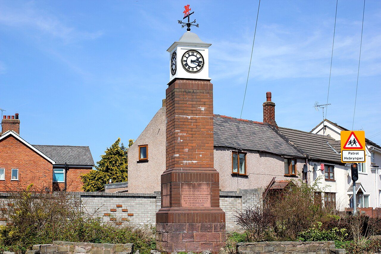 #1 in WalesPenyfforddClwyd · 3,822 peopleAOverall#1 of 39 in ClwydA+HealthASafety
 #2 in WalesBishopstonWest Glamorgan · 3,533 peopleAOverall#1 of 19 in West GlamorganA+SafetyA+Health
 #3 in WalesMynydd IsaClwyd · 4,738 peopleA−Overall#2 of 39 in ClwydASafetyBHazard risk
 #4 in WalesAstonClwyd · 2,847 peopleA−Overall#3 of 39 in ClwydAHazard riskA−Jobs & income
 #5 in WalesCowbridgeSouth Glamorgan · 3,649 peopleA−Overall#1 of 9 in South GlamorganAHealthA−Jobs & income
 #6 in WalesGresfordClwyd · 4,948 peopleA−Overall#4 of 39 in ClwydASafetyAJobs & income
 #7 in WalesLlanfair PwllgwyngyllGwynedd · 2,905 peopleB+Overall#1 of 13 in GwyneddA−SafetyB+Health
 #8 in WalesPenrhyn BayClwyd · 4,201 peopleB+Overall#5 of 39 in ClwydASafetyA−Health
The most affordable towns of 5,000+
Graded on house prices, rents and council tax against what households there earn.
 Most affordableHolyheadGwynedd · 11,753 peopleACost of livingTypical home £143K
 Most affordableBargodGwent · 8,034 peopleACost of livingTypical home £152K
 Most affordableAbertridwr and SenghenyddGwent · 5,639 peopleACost of livingTypical home £158K
 Most affordableLlanelliDyfed · 42,143 peopleACost of livingTypical home £155K
All 8 counties
Explore every town in a county.
What Wales towns are graded on
Every subject compares a town with towns across the UK, from public data. Where Wales publishes its figures differently, a subject waits until they line up.
Photos: Penyffordd, Jeff Buck (CC BY-SA 2.0) · Bishopston, Alan Hughes (CC BY-SA 2.0) · Mynydd Isa, Rept0n1x (CC BY-SA 3.0) · Aston, Anthony Parkes (CC BY-SA 2.0) · Cowbridge, Colin Smith (CC BY-SA 2.0) · Gresford, Mike Parker (CC BY-SA 2.0) · Llanfair Pwllgwyngyll, Colin Park (CC BY-SA 2.0) · Penrhyn Bay, NoelWalley at en.wikipedia (CC BY-SA 3.0) · Holyhead, Jeff Buck (CC BY-SA 2.0) · Bargod, Jaggery (CC BY-SA 2.0) · Abertridwr and Senghenydd, Jaggery (CC BY-SA 2.0) · Llanelli, Stephen McKay (CC BY-SA 2.0), via Wikimedia Commons.
Sources: TownRatings grades: our own summary of the data, ranked against UK towns only · ONS Census 2021, output areas summed to the ONS 2022 built-up area · HM Land Registry Price Paid (standard sales, September 2023 to August 2026). All under the Open Government Licence v3.0.
Contains public sector information licensed under the Open Government Licence v3.0. Contains HM Land Registry data © Crown copyright and database right 2026. Contains OS data © Crown copyright and database right 2026 (ONS boundaries). Northern Ireland: Source: NISRA; contains Land & Property Services data and Ordnance Survey of Northern Ireland information, © Crown copyright, licensed under the Open Government Licence v3.0. Scotland: contains National Records of Scotland data, Registers of Scotland data and SEPA data, © Crown copyright / © SEPA 2025, licensed under the Open Government Licence v3.0.