
Guildford House
Many listed buildings are private homes. Please enjoy them from the street.
About Guildford House
Guildford House is one of 11 Grade I listed buildings in Guildford and about 9,341 in England. It was among the first 138 buildings in Guildford to be listed, on 1 May 1953. It stands in the Guildford Town Centre conservation area, designated in 1969. Within 400 metres are 10 more Grade I buildings and 144 other listed buildings.
What it isHouse in Guildford, Surrey, England, UK. From Wikidata (CC0). Read about it on Wikipedia ↗
HERead the official list entryHistoric England’s description of the building, its history and why it is listed · List entry 1180153↗Grade I is for buildings of exceptional interest, about 2.5% of all listed buildings in England. Listing protects the whole building, inside and out: changes need listed building consent from the council.
Make it a walk: 5 listed buildings in about 15 minutes
Guildford · about 0.4 miles on foot, as the crow flies


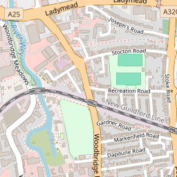


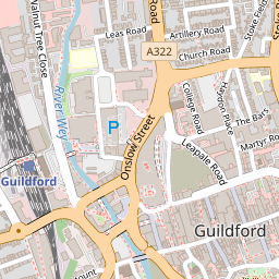


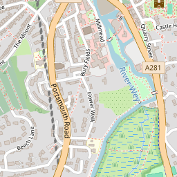


- 1Guildford HouseStart here
- 2
 The Angel HotelGrade II* · 0.1 mi on
- 3
 St Mary's ChurchGrade I · 0.1 mi on
- 4
 Castle ArchGrade II* · 0.1 mi on
- 5
 St Nicolas' ChurchGrade II* · 0.2 mi on


61 more listed buildings within 150 metres
Grade I and II* ones open their own page; Grade II ones open the official list entry.
Show the other 43
Grade I houses near Guildford
Within 25 miles, with a photo.


Questions about Guildford House
Is Guildford House listed?
Yes. Guildford House is listed Grade I on the National Heritage List for England (list entry 1180153), first listed on 1 May 1953.
Can you visit Guildford House?
Many listed buildings are private homes; this one can be seen from the street.
Is Guildford House in a conservation area?
Yes, the Guildford Town Centre conservation area, designated in 1969.
© Historic England 2026. Contains Ordnance Survey data © Crown copyright and database right 2026. Check an entry on Historic England’s website before relying on it. Photos: Wikimedia Commons and Geograph, credited above, copied to our own server. Map tiles © OpenStreetMap contributors.
Sources: Historic England, National Heritage List for England (listed buildings, scheduled monuments, registered parks and gardens, battlefields, World Heritage Sites), October 2026, inside the ONS 2022 built-up-area boundary · Historic England conservation areas (supplied by local planning authorities; October 2026). All under the Open Government Licence v3.0.
Contains public sector information licensed under the Open Government Licence v3.0. Contains HM Land Registry data © Crown copyright and database right 2026. Contains OS data © Crown copyright and database right 2026 (ONS boundaries). Northern Ireland: Source: NISRA; contains Land & Property Services data and Ordnance Survey of Northern Ireland information, © Crown copyright, licensed under the Open Government Licence v3.0. Scotland: contains National Records of Scotland data, Registers of Scotland data and SEPA data, © Crown copyright / © SEPA 2025, licensed under the Open Government Licence v3.0.