
London Buddhist Vihara
London Buddhist Vihara is a buddhist temple. Its place is inside Ealing’s built-up area. It holds the status of a Grade II listed building.
Abbey or priory in Ealing
Inside Ealing
London Buddhist Vihara is inside Ealing’s built-up area, with 50 more places to visit within 5 km. Towns near it ↓
Grade II listed building
On the official list of protected heritage; Ealing has 313 listed buildings in all, on its History page. About ↓
Written from OpenStreetMap, Wikidata, the ONS built-up areas and Met Office 1991–2020 averages.
How the seasons run
The warmest stretch in Ealing is May to September, at 18–24°C in the afternoon.
London Buddhist Vihara
Articles on it exist in 4 languages. Nearby, British Museum (9.3 km) heads a list of 556 within 15 km.
- Type
- Abbey or priory
- Listed
- Grade II listed building
- Wikipedias
- Covered in 4 languages
- Town
- in Ealing
- Official site
- londonbuddhistvihara.org
Mapping London Buddhist Vihara
On this map, London Buddhist Vihara is orange and its neighbours are numbered.
© OpenStreetMap contributors · The dashed line is Ealing’s built-up area. · ONS built-up area 2022
Which town is nearest
In size, Ealing comes first of the 8, with 367,271 people. These are the towns that list it, beginning with its own.
- 1Ealing
- 2Hounslow
- 3Hammersmith and Fulham
- 4Richmond upon Thames
- 5Kensington and Chelsea
- 6Wandsworth
- 7Brent
- 8Westminster
Ealing
Hounslow
Hammersmith and Fulham
Richmond upon Thames
Compare the 8 towns
| Town | Where London Buddhist Vihara is | People | Places to visit |
|---|---|---|---|
| Ealing | It’s in town | 367,271 | 101 |
| Hounslow | 100 m southwest of it | 286,591 | 106 |
| Hammersmith and Fulham | 500 m east of it | 182,187 | 266 |
| Richmond upon Thames | 1.4 km southwest of it | 192,888 | 128 |
| Kensington and Chelsea | 2.9 km east of it | 143,348 | 399 |
| Wandsworth | 3.4 km southeast of it | 326,725 | 442 |
| Brent | 3.8 km north of it | 340,611 | 245 |
| Westminster | 4.4 km east of it | 203,571 | 461 |
Close to London Buddhist Vihara
Within 15 km are 556 places, among them 3 museums, 2 historic houses and a garden.
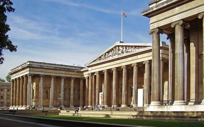 Big drawMuseumBritish Museum9.3 km away · 5.8M visitors a year (2023)2
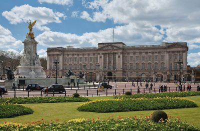 Historic houseBuckingham Palace7.9 km away3
 GardenKew Gardens3.3 km away4
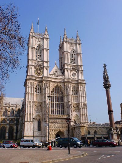 Cathedral · English HeritageWestminster Abbey8.9 km away5
 Big drawMuseumVictoria and Albert Museum5.8 km away · 858K visitors a year (2021)6
 Historic houseKensington Palace4.8 km away · 383K visitors a year (2015)7
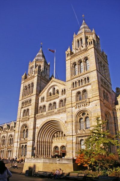 Big drawMuseumNatural History Museum5.6 km away · 1.6M visitors a year (2021)8
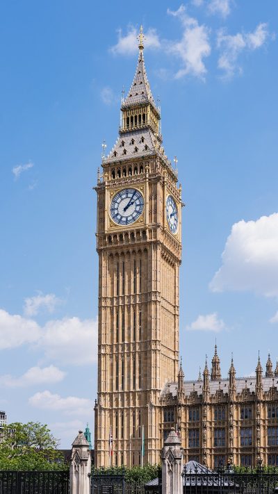 AttractionElizabeth Tower9.1 km away
Within 15 km, close and well known first. Numbers match the map.
A visit to London Buddhist Vihara: questions
Where is London Buddhist Vihara?
London Buddhist Vihara is in Ealing, London, inside the town’s built-up area.
What is London Buddhist Vihara?
Buddhist temple in London, United Kingdom.
When is the best time to visit London Buddhist Vihara?
May to September are the warmest months in Ealing, with afternoon highs of 18–24°C (Met Office 1991–2020 averages).
Is London Buddhist Vihara a listed building?
Yes: Grade II listed building.
What else is there to see near London Buddhist Vihara?
Within 15 km: British Museum (9.3 km), Buckingham Palace (7.9 km), Kew Gardens (3.3 km) and Westminster Abbey (8.9 km).
Places: OpenStreetMap (© OpenStreetMap contributors, Open Database Licence) and Wikidata (CC0), placed in the ONS 2022 built-up area (Open Government Licence v3.0). Visitor counts are the latest Wikidata gives, with their year.
Photos: each place’s Wikidata image, from Wikimedia Commons under the licence below (our copy, resized).
Photo credits (9)
- London Buddhist Vihara: Anuradha Dullewe Wijeyeratne, 168 / 7, Inner Flower Road, Colombo 7, Sri Lanka. Tel : + 94 11 257 3986 Cellular : + 94 77 761 5870 E - Mail, CC BY-SA 4.0, Wikimedia Commons
- British Museum: Ham, CC BY-SA 3.0, Wikimedia Commons
- Buckingham Palace: Diliff, CC BY-SA 3.0, Wikimedia Commons
- Kew Gardens: Diliff, CC BY-SA 3.0, Wikimedia Commons
- Westminster Abbey: Σπάρτακος, CC BY-SA 3.0, Wikimedia Commons
- Victoria and Albert Museum: Diliff, CC BY-SA 3.0, Wikimedia Commons
- Kensington Palace: Steve Cadman from London, U.K., CC BY-SA 2.0, Wikimedia Commons
- Natural History Museum: Christine Matthews, CC BY-SA 2.0, Wikimedia Commons
- Elizabeth Tower: Christian David, CC BY-SA 4.0, Wikimedia Commons
Contains public sector information licensed under the Open Government Licence v3.0. Contains HM Land Registry data © Crown copyright and database right 2026. Contains OS data © Crown copyright and database right 2026 (ONS boundaries). Northern Ireland: Source: NISRA; contains Land & Property Services data and Ordnance Survey of Northern Ireland information, © Crown copyright, licensed under the Open Government Licence v3.0. Scotland: contains National Records of Scotland data, Registers of Scotland data and SEPA data, © Crown copyright / © SEPA 2025, licensed under the Open Government Licence v3.0.