
WoodbranchTX
A town of 1,624.
Is Woodbranch a good place to live?
Woodbranch’s best subject grade is an A+ for safety; its weakest is a D for hazard risk. Woodbranch’s average trip to work is 38 minutes, against 25 minutes in Texas’ towns and 25 minutes across U.S. towns. Only 1 of Texas’ 576 towns score higher on safety. Most errands need a car: it is less walkable than 78% of U.S. towns. Woodbranch's civic life (library use, community groups, volunteering) trails 95% of U.S. towns. Woodbranch has fewer than 2,500 residents, so it gets subject grades but no overall grade.
What makes Woodbranch stand out
Where Woodbranch beats most towns.
100% of working residents leave Woodbranch for work
Where Woodbranch’s working residents go each day. Line width shows the share.
Census LEHD 2023
How Woodbranch grades
Each subject compared with towns across the country (schools within Texas), ordered by how far Woodbranch is from typical.
How TownRatings grades towns →
Moving to Woodbranch: who provides what
Who provides power, water and the rest in Woodbranch, and how to reach them.
EPA SDWIS (Oct 9, 2026) · HIFLD + EIA-861 2025 · Census 2020 ZCTAs · NCES 2024–25 · registration: vote.gov, updated Nov 18, 2024.
The data
Ordered by what stands out in Woodbranch.
In Woodbranch, property crime runs lower than in the typical Texas or U.S. town
At 0 per 1,000 residents, Woodbranch’s property crime rate is below both Texas’ towns (10.7) and U.S. towns (9.9). Among 489 Texas towns, just 6 have a lower violent crime rate than Woodbranch. Woodbranch reports less crime per resident than 100% of the U.S. towns and cities we grade.
| Woodbranch | Texas towns | U.S. towns | |
|---|---|---|---|
| Property crimes per 1,000 (2025) | 0 per 1,000 residents | 10.7 | 9.9 |
| Violent crimes per 1,000 (2025) | 0 per 1,000 residents | 1.9 | 1.6 |
Violent crime per 1,000 residents
Property crime per 1,000 residents
FBI crime data, 2025 · crimes reported to police
Woodbranch stands out in Texas and nationally: the FEMA risk score there is higher
Woodbranch’s FEMA risk score is 84 of 100. Since 1979, 214 flood insurance claims have been paid out in Woodbranch.
FEMA flood insurance claims · FEMA National Risk Index · OpenFEMA
Health in Woodbranch trails 76% of U.S. towns
Woodbranch beats the Texas average on 1 of 31 CDC measures and trails it on 11. 16% of Woodbranch adults report frequent physical distress.
| Woodbranch | Texas towns | U.S. towns | |
|---|---|---|---|
| Frequent physical distress (CDC PLACES) | 16% | 15% | 14% |
| Smoke cigarettes (CDC PLACES) | 17% | 14% | 14% |
| Diabetes (CDC PLACES) | 15% | 13% | 12% |
| No health insurance, 18–64 (CDC PLACES) | 16% | 18% | 8.1% |
| What stands out | Woodbranch | TX |
|---|---|---|
| More adults treating high blood pressure | 78.3% | 74.1% |
| More older adults who have lost all their teeth | 21.5% | 12.5% |
CDC PLACES 2025 · modeled estimates for adults · CMS · HRSA
Woodbranch has 0.2 jobs for every working resident, so most commute out
Most working residents leave Woodbranch for work: only 0% work in town. 27% of residents live below the poverty line in Woodbranch. Since 2013, Woodbranch has added 93 jobs, to 120 in 2023.
| Woodbranch | Texas towns | U.S. towns | |
|---|---|---|---|
| Below the poverty line | 27% | 12% | 9.6% |
| Working residents who work in town | 0.3% | 8.3% | 8% |
| Median household income | $86,000 | $69,000 | $80,000 |
Where working residents work
Census LEHD 2023 · ACS
Mild winters and hot summers in Woodbranch
Woodbranch has warm winters and hot summers, with plenty of rain. The July high in Woodbranch is 94°F.
Typical low → high °F
NOAA U.S. Climate Normals, 1991–2020
| Woodbranch | Texas towns | U.S. towns | |
|---|---|---|---|
| Miles of trail per square mile | 0.7 miles per square mile | 0.3 | 0.4 |
| Conserved land | 0.1% | 1.9% | 4.3% |
Trails & parks © OpenStreetMap contributors · Conserved land: USGS PAD-US
The median home in Woodbranch sells for about $304K
Zillow Home Value Index · Redfin Data Center
Daikin Park and 44 more within 40 miles
Museums, parks, gardens and other places to visit around Woodbranch. Close and well known come first.
 Big draw31 mi Stadium & arenaDaikin Park
 Big draw37 mi Stadium & arenaReliant Stadium
 32 mi Stadium & arenaToyota Center
 33 mi MuseumRothko Chapel
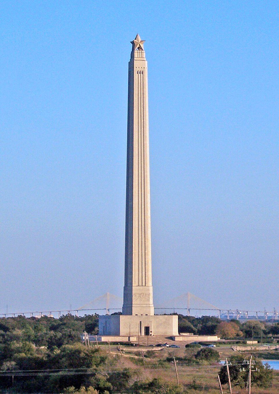 31 mi LandmarkSan Jacinto Monument
 31 mi Stadium & arenaShell Energy Stadium
Photo credits
Daikin Park: Delaywaves, CC BY 3.0 · Reliant Stadium: User eschipul on Flickr, CC BY-SA 2.0 · Toyota Center: Ed Uthman from Houston, TX, USA, CC BY 2.0 · Rothko Chapel: Unknown, Public domain · San Jacinto Monument: Tijuana Brass at English Wikipedia, Public domain · Shell Energy Stadium: HDFC PR, CC BY-SA 4.0


Everything we know about Woodbranch
Colleges nearby
None within 15 miles of Woodbranch; the nearest are
About 3 of every 100 Woodbranch residents are enrolled in college, against 6 across Texas.
About Woodbranch
City in Texas, United States
Woodbranch Village, also known simply as Woodbranch, is a city in Montgomery County, Texas, United States. The population was 1,330 at the 2020 census.
From Wikipedia, licensed CC BY-SA 4.0 · facts via Wikidata (CC0)
- Area
- 2.0 sq mi
- Elevation
- 95 ft
- Area code
- 281
Woodbranch’s neighbors
2 towns share a border with Woodbranch.
| Town | TX rank | Overall | Cost | Safety | Schools | Health |
|---|---|---|---|---|---|---|
| Woodbranch | — | — | C | A+ | C+ | C− |
| Roman Forest | — | — | C− | D | C+ | C− |
| Patton Village | — | — | A | B+ | C | C |
Woodbranch, Roman Forest and Patton Village have fewer than 2,500 residents, so they get subject grades but no overall grade. Compare Woodbranch with a neighbor →
Questions about Woodbranch
Short answers, built from the data on this page.
Is Woodbranch, TX expensive?
The typical home is worth about $264,000, 11% below the Texas typical home. Cost of living, which also weighs rents, property taxes and how many households pay 30% or more of their income for housing, grades C.