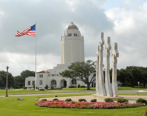
Randolph AFB in pictures
The archive holds 1 old photo or paper going back to 1931 and 4 maps from 1953 on.
2 places on the National Register of Historic Places.
Explore the history →Each edition grades its towns against each other only.
A town of 1,240. Home to 2 places on the National Register of Historic Places.
The best of Randolph AFB’s subject grades are an A+ for incomes and an A for walkability and health; the weakest is a D− for cost of living. 63% of adults 25 and older hold a bachelor’s degree or more in Randolph AFB, above both Texas’ towns (23%) and U.S. towns (29%). Only 6 of Texas’ 999 towns score higher on walkability. Randolph AFB's schools rank ahead of 88% of Texas towns. Randolph AFB has 2 places on the National Register. Randolph AFB has fewer than 2,500 residents, so it gets subject grades but no overall grade.
Where Randolph AFB beats most towns.
Randolph Field Historic DistrictIn a town this size, neighbors are the best guide. Ask them anything.
Each subject compared with towns across the country (schools within Texas), ordered by how far Randolph AFB is from typical.
How TownRatings grades towns →
The archive holds 1 old photo or paper going back to 1931 and 4 maps from 1953 on.
2 places on the National Register of Historic Places.
Explore the history →Museums, parks, gardens and other places to visit around Randolph AFB. Close and well known come first.
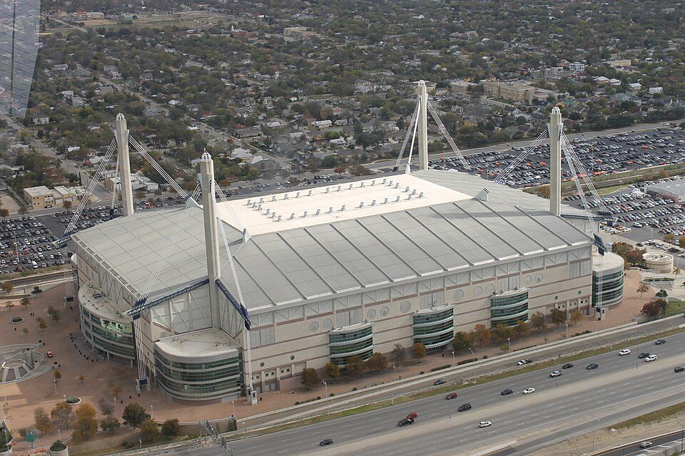
Big draw14 mi Stadium & arenaAlamodome
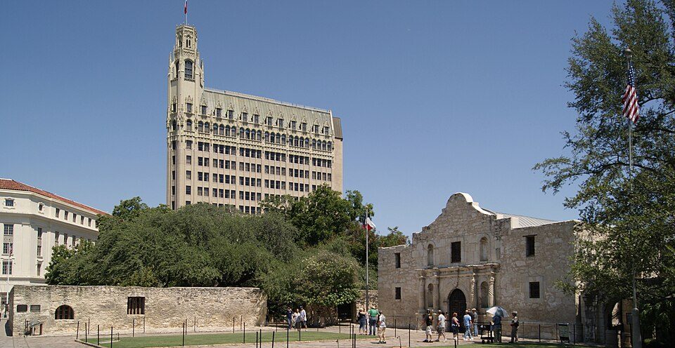
14 mi LandmarkAlamo Mission
12 mi Stadium & arenaFrost Bank Center
36 mi CaveJacob's Well (Texas)
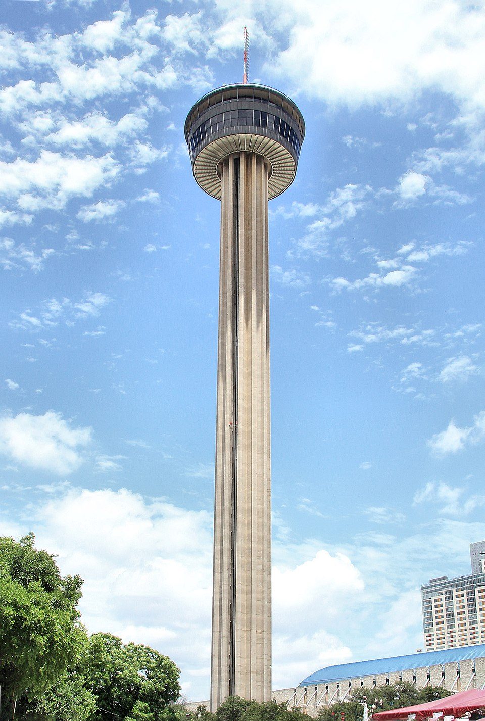
15 mi LookoutTower of the Americas
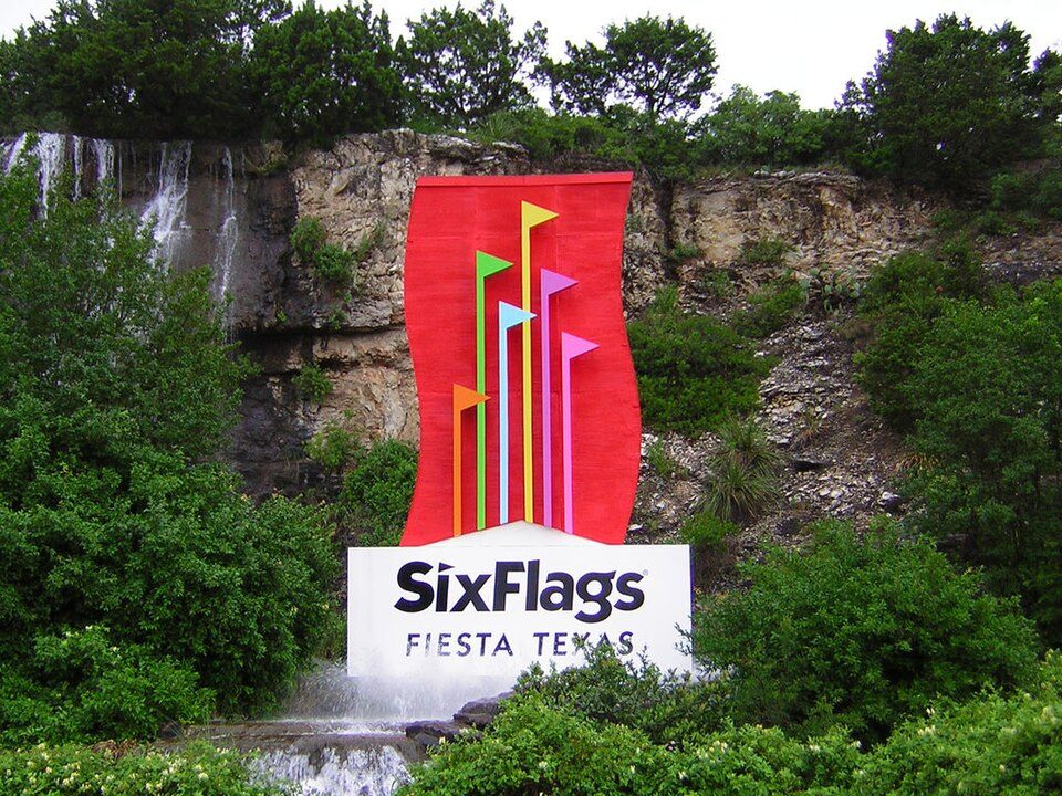
20 mi Theme parkSix Flags Fiesta TexasAlamodome: Billy Hathorn, CC BY 3.0 · Alamo Mission: Zygmunt Put Zetpe0202, CC BY-SA 4.0 · Frost Bank Center: Atristan 77, CC BY-SA 3.0 · Jacob's Well (Texas): Larry D. Moore, CC BY 4.0 · Tower of the Americas: Larry D. Moore, CC BY 4.0 · Six Flags Fiesta Texas: Chris Hagerman, CC BY-SA 3.0
Randolph AFB is unincorporated, so Bexar County and regional agencies provide most services.
EPA SDWIS (Oct 9, 2026) · HIFLD + EIA-861 2025 · Census 2020 ZCTAs · NCES 2024–25 · registration: vote.gov, updated Nov 18, 2024.
Ordered by what stands out in Randolph AFB.
Most working residents leave Randolph AFB for work: only 1% work in town. At 17 minutes, Randolph AFB’s average trip to work is against 25 minutes in Texas’ towns and 25 minutes across U.S. towns. The median household income in Randolph AFB is $113,000.
| Randolph AFB | Texas towns | U.S. towns | |
|---|---|---|---|
| Average trip to work | 17 minutes | 25 minutes | 25 minutes |
| Median household income | $113,000 | $69,000 | $80,000 |
| Below the poverty line | 2.8% | 12% | 9.6% |
| Working residents who work in town | 1.3% | 8.3% | 8% |
Census LEHD 2023 · ACS
Its public schools are run by Randolph Field ISD. Its three schools are below. The largest public high school is Randolph H S, with 464 students.
| School | Level | Students | Letter |
|---|---|---|---|
| Randolph ElLargest public elementary schoolGrades PK–5 | Grades PK–5 | 627 | A |
| Randolph H SLargest public high schoolGrades 9–12 | Grades 9–12 | 464 | A+ |
| Randolph MiddleTop results in townGrades 6–8 | Grades 6–8 | 336 | A |
NCES · EDFacts · graded within TX on state tests and graduation
5.1% of Randolph AFB adults have diabetes. Among 642 Texas towns, just 2 have a lower share of adults who have high blood pressure than Randolph AFB. 27% of Randolph AFB adults have obesity.
| Randolph AFB | Texas towns | U.S. towns | |
|---|---|---|---|
| Diabetes (CDC PLACES) | 5.1% | 13% | 12% |
| Frequent physical distress (CDC PLACES) | 8% | 15% | 14% |
| High blood pressure (CDC PLACES) | 20% | 35% | 35% |
| Yearly checkup (CDC PLACES) | 68% | 74% | 79% |
| What stands out | Randolph AFB | TX |
|---|---|---|
| Fewer adults with heart disease | 1.7% | 5.6% |
| Fewer adults who have had a stroke | 1.1% | 3.2% |
| More binge drinkers | 23.1% | 17% |
CDC PLACES 2025 · modeled estimates for adults · CMS · HRSA
Randolph AFB has warm winters and hot summers. Randolph AFB’s July high is 95°F.
NOAA U.S. Climate Normals, 1991–2020
Expected storm and flood damage is lower than in 54% of U.S. communities.
FEMA National Risk Index · OpenFEMA
2.4 miles of trail in 2 parks and preserves.
| Randolph AFB | Texas towns | U.S. towns | |
|---|---|---|---|
| Conserved land | 0.2% | 1.9% | 4.3% |
| Miles of trail per square mile | 0.6 miles per square mile | 0.3 | 0.4 |
| Biggest places to walk | Trails | Acres |
|---|---|---|
| 1. Airmen's Heritage Park | 0.7 mi | 12 |
| 2. Eberle Park | 0.3 mi | 4 |
Trails & parks © OpenStreetMap contributors · Conserved land: USGS PAD-US
6 within 15 miles of the center of Randolph AFB
About 12 of every 100 Randolph AFB residents are enrolled in college, against 6 across Texas.
Where Randolph AFB’s working residents go each day. Line width shows the share.
Census LEHD 2023
2 places in Randolph AFB on the National Register of Historic Places.
US Air Force base near San Antonio, Texas
Randolph Air Force Base (IATA: RND, ICAO: KRND, FAA LID: RND) is a United States Air Force base located in Bexar County, Texas, about 15 miles (24 km) east-northeast of Downtown San Antonio. Opened in 1931, Randolph has been a flying training facility for the United States Army Air Corps, the United States Army Air Forces, and the Air Force during its entire existence. On 1 October 2010, Randolph AFB merged with Lackland Air Force Base and the US Army's Fort Sam Houston to form Joint Base San Antonio.
From Wikipedia, licensed CC BY-SA 4.0 · facts via Wikidata (CC0)
Short answers, built from the data on this page.
Home to 2 places on the National Register of Historic Places.