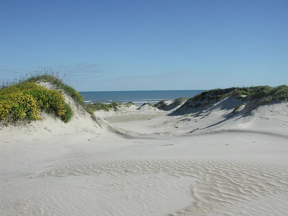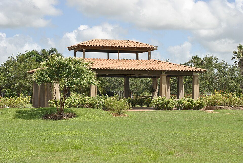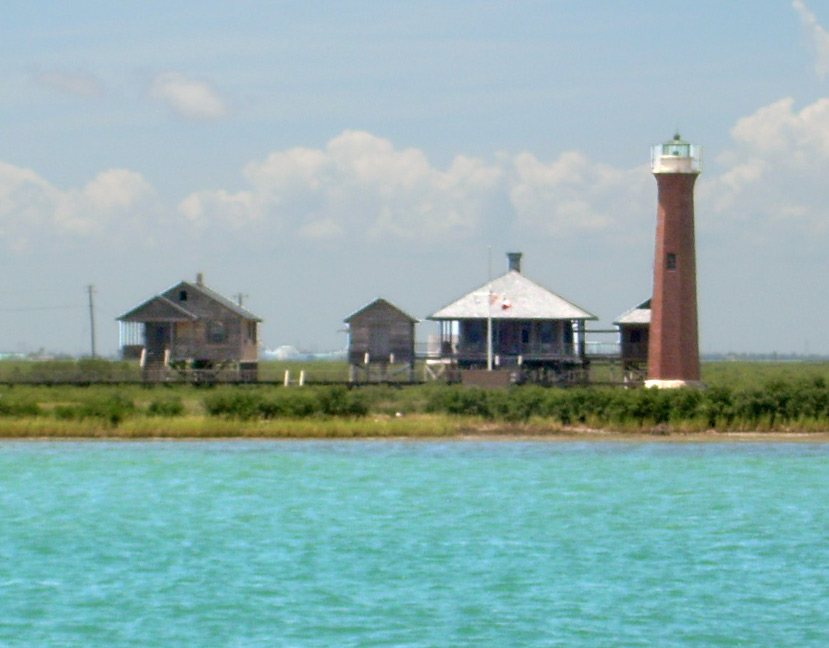
115 years in pictures
Census counts: 495 in 1940, 2,904 in 2020. The archive holds 6 old photos and papers going back to 1886 and 4 maps from 1925 on.
2 places on the National Register of Historic Places.
- 1911Port Aransas is settled

Each edition grades its towns against each other only.

Homes are expensive, about $547K for a typical one and 8.1 times the Corpus Christi metro’s $67K median household income. Overall it grades C, 323rd among Texas's 640 graded towns. Its schools outperform 93% of the state's and it is easier to get around on foot or by transit than 96% of U.S. towns. Its weakest subject is safety: its police reported 26 violent crimes reported to the FBI in 2025, a higher rate per resident than 96% of U.S. towns. 43% of working residents work locally in Port Aransas, against 8.3% in Texas’ towns and 8% across U.S. towns. Only 38 of Texas’ 1,000 towns score lower on hazard risk. The biggest place to walk is Port Aransas Nature Preserve, 1,342 acres with 1 miles of trail.
Where Port Aransas beats most towns, and one thing worth knowing.
25.7% of the town is conserved land, across 8 parks and preserves.
Each subject compared with towns across the country (schools within Texas), ordered by how far Port Aransas is from typical.
Its grades run from A+ for walkability (better than 96% of comparable towns) to D− for cost of living (better than 1%), so the C overall blends very different results.
How TownRatings grades towns →
Census counts: 495 in 1940, 2,904 in 2020. The archive holds 6 old photos and papers going back to 1886 and 4 maps from 1925 on.
2 places on the National Register of Historic Places.
Who provides power, water and the rest in Port Aransas, and how to reach them.
EPA SDWIS (Oct 9, 2026) · HIFLD + EIA-861 2025 · Census 2020 ZCTAs · NCES 2024–25 · registration: vote.gov, updated Nov 18, 2024.
Ordered by what stands out in Port Aransas.
Port Aransas has schools in the top 5% of Texas and is a second-home town, but it carries more natural-hazard risk than most of Texas (mostly hurricanes).
At 8.1 years of the Corpus Christi metro’s $67K median household income, the typical home (about $547K) costs more against local pay than in 96% of Texas towns; that ratio is one input to its D− for cost of living. The typical value, about $547K, is 17% below its July 2022 peak.
Port Aransas’ median rent is $2,294 a month. The typical Port Aransas home is worth about $547,000, down 3.5% in a year, 84% above the Texas typical home.
| Port Aransas | Texas towns | U.S. towns | |
|---|---|---|---|
| Median rent | $2,294 a month | $1,206 a month | $1,185 a month |
| Households that own their home | 71% | 69% | 73% |
Census ACS, 2020–24 · Zillow Home Value Index · Redfin Data Center
Its A ranks #11 of the 642 Texas towns we grade for schools. Its A for schools comes with a D− for cost of living: the typical home is worth about $547K.
Its public schools are run by Port Aransas ISD. Its three schools are below.
| School | Level | Students | Letter |
|---|---|---|---|
| Olsen ElLargest public elementary schoolGrades PK–5 | Grades PK–5 | 263 | A− |
| Port Aransas H SLargest public high schoolGrades 9–12 | Grades 9–12 | 203 | A+ |
| Brundrett MiddleTop results in townGrades 6–8 | Grades 6–8 | 119 | A |
NCES · EDFacts · graded within TX on state tests and graduation
17 miles of trail in 8 parks and preserves. The trail density in Port Aransas is 1.2 miles per square mile.
| Biggest places to walk | Trails | Acres |
|---|---|---|
| 1. I B Magee Beach Park | 1.2 mi | 118 |
| 2. Port Aransas Nature Preserve | 1 mi | 1,342 |
| 3. Robert's Point Park | 0.8 mi | 16 |
Trails & parks © OpenStreetMap contributors · Conserved land: USGS PAD-US
Property crime runs at 40.4 per 1,000 residents, about twice the Texas rate, most of it theft.
Port Aransas reports more crime per resident than most U.S. towns we grade: about 96% report less.
| Port Aransas | Texas towns | U.S. towns | |
|---|---|---|---|
| Violent crimes per 1,000 (2025) | 6.8 per 1,000 residents | 1.9 | 1.6 |
| Property crimes per 1,000 (2025) | 40.4 per 1,000 residents | 10.7 | 9.9 |
FBI crime data, 2025 · crimes reported to police
2,535 jobs are based in Port Aransas, 2.1 for every working resident, so most of the people who work here commute in. The average commute takes 17.5 minutes, against 26.7 across Texas.
Jobs based in Port Aransas grew to 2,535 in 2023, 439 more than in 2013. The top destinations are Corpus Christi (19%), Houston (5%) and San Antonio (3%). Half commute less than 17 miles.
| Port Aransas | Texas towns | U.S. towns | |
|---|---|---|---|
| Average trip to work | 18 minutes | 25 minutes | 25 minutes |
| Median household income | $89,000 | $69,000 | $80,000 |
| Below the poverty line | 11% | 12% | 9.6% |
Census LEHD 2023 · ACS
36.4% of homes are seasonal or vacation homes, against 1.6% statewide, which helps explain the older median age.
Port Aransas has grown 30% since 2020, to 3,773 residents in the Census Bureau’s 2025 estimate. 36% of adults 25 and older hold a bachelor’s degree or more in Port Aransas. People 65 and older are 33% of residents (13% statewide); adults 18 to 34 are 13% of residents (24% statewide).
| Port Aransas | Texas towns | U.S. towns | |
|---|---|---|---|
| Median age | 52.3 years | 35.8 years | 40.5 years |
| Bachelor’s degree or more, 25+ | 36% | 23% | 29% |
53% women, 47% men
That’s an even split within the survey’s margin of ±5.2 points. Across Texas, 50.1% of residents are women.
| Port Aransas | TX | U.S. | |
|---|---|---|---|
| Under 10 | 10.4% | 13.3% | 11.6% |
| 10 to 17 | 7.8% | 11.7% | 10.3% |
| 18 to 24 | 3.7% | 9.7% | 9.1% |
| 25 to 34 | 9.2% | 14.5% | 13.7% |
| 35 to 44 | 5.3% | 14.1% | 13.2% |
| 45 to 54 | 16.4% | 12.3% | 12.2% |
| 55 to 64 | 14.4% | 11.1% | 12.7% |
| 65 to 74 | 23.4% | 8.2% | 10.2% |
| 75 and older | 9.5% | 5.2% | 7% |
| No diploma | 6% | 14% | 10.4% |
| High school | 22.6% | 24.3% | 26% |
| Some college | 29.4% | 20.1% | 19.1% |
| Associate’s | 5.8% | 7.7% | 8.8% |
| Bachelor’s | 24.9% | 21.5% | 21.6% |
| Graduate | 11.4% | 12.3% | 14.1% |
Census population estimates, 2025 · U.S. Census Bureau · ACS 2020-2024 5-year estimates · in a town of 3,800, single groups can be off by several points
FEMA rates its natural-hazard risk higher than 97% of Texas towns, with expected losses of about $1,181 per resident a year; that rating is what its D for hazard risk is built on. 2,248 flood insurance claims have been filed here, and 33 properties have flooded more than once.
Since 1978, 2,248 flood insurance claims have been paid out in Port Aransas.
FEMA flood insurance claims · FEMA National Risk Index · OpenFEMA
January nights average 49.3°, milder than in 98% of U.S. towns; July afternoons average 90.5°. The Port Aransas weather station records that about 57 days a year reach 90°: more than most of the country, but fewer than 99% of Texas places with climate records.
Port Aransas has warm winters and warm summers. Snow is almost unheard of.
| Port Aransas | Texas towns | U.S. towns | |
|---|---|---|---|
| January low | 49°F | 37°F | 22°F |
| July high | 91°F | 95°F | 85°F |
NOAA U.S. Climate Normals, 1991–2020
Port Aransas beats the Texas average on 11 of 31 CDC measures and trails it on 8. 15% of Port Aransas adults report frequent mental distress.
| Port Aransas | Texas towns | U.S. towns | |
|---|---|---|---|
| Frequent mental distress (CDC PLACES) | 15% | 18% | 17% |
| Yearly checkup (CDC PLACES) | 80% | 74% | 79% |
| Diabetes (CDC PLACES) | 15% | 13% | 12% |
| Food insecurity (CDC PLACES) | 10% | 20% | 14% |
| What stands out | Port Aransas | TX |
|---|---|---|
| Fewer uninsured adults | 9.5% | 19.1% |
| Fewer adults facing food insecurity | 10.3% | 19.3% |
| More adults who have had cancer | 11.4% | 6.1% |
CDC PLACES 2025 · modeled estimates for adults · CMS · HRSA
Museums, parks, gardens and other places to visit around Port Aransas. Close and well known come first.
Big draw18 mi MuseumUSS Lexington
22 mi National SeashorePadre Island National Seashore573K visitors a year
19 mi Zoo & aquariumTexas State Aquarium
19 mi MuseumArt Museum of South Texas
23 mi GardenSouth Texas Botanical Gardens & Nature CenterUSS Lexington: USN, Public domain · Padre Island National Seashore: Unknown authorUnknown author, Public domain · Texas State Aquarium: Smcafee87, CC BY-SA 4.0 · Art Museum of South Texas: Jim Evans, CC BY-SA 4.0 · South Texas Botanical Gardens & Nature Center: Phil Slattery, CC BY-SA 3.0
None within 15 miles of Port Aransas; the nearest are
About 1 of every 100 Port Aransas residents are enrolled in college, against 6 across Texas.
3,480 counted in 2010 and 2,904 in 2020; an estimated 3,773 in 2025.
The decline has turned around: up 30.1% since 2020, after a 16.6% drop in the decade before.
U.S. Census 2010 & 2020 counts · Census Bureau estimate, July 1, 2025
2 places in Port Aransas on the National Register of Historic Places.
City in Texas, United States
Port Aransas ( ə-RAN-zəs) is a city in Nueces County, Texas, United States. This city is 180 miles southeast of San Antonio. The population was 2,904 at the 2020 census. Port Aransas is the only established town on Mustang Island. It is located north of Padre Island and is one of the longest barrier islands along the Texas coast. Corpus Christi Bay, the Gulf of Mexico, the Lydia Ann Ship Channel, and the Corpus Christi Ship Channel make up the surrounding waters.
From Wikipedia, licensed CC BY-SA 4.0 · facts via Wikidata (CC0)
One town shares a border with Port Aransas.
| Town | TX rank | Overall | Cost | Safety | Schools | Health |
|---|---|---|---|---|---|---|
| Port Aransas | #323 | C | D− | D− | A | B− |
| Corpus Christi | #602 | D− | C− | D | C+ | C |
Short answers, built from the data on this page.
Port Aransas grades C overall, better than 28% of U.S. towns and #323 of 640 in Texas. It grades B− for health, D− for safety and A for schools. Cost of living is its weak spot, with a D−.
Yes. Cost of living, which also weighs rents, property taxes and how many households pay 30% or more of their income for housing, grades D−.